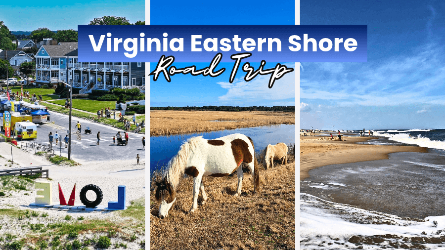
Virginia’s Eastern Shore packs wild Atlantic beaches, waterfront towns, fresh seafood, salt marshes, and famous wild ponies into one seriously fun road trip.
This narrow peninsula stretches between the Chesapeake Bay and Atlantic Ocean, with scenic backroads connecting small towns, fishing harbors, and wildlife-filled islands.
Ready for wild ponies, lighthouse climbs, beach walks, and plenty of oysters along the way?
Here’s how to plan the ultimate Virginia Eastern Shore road trip from start to finish.
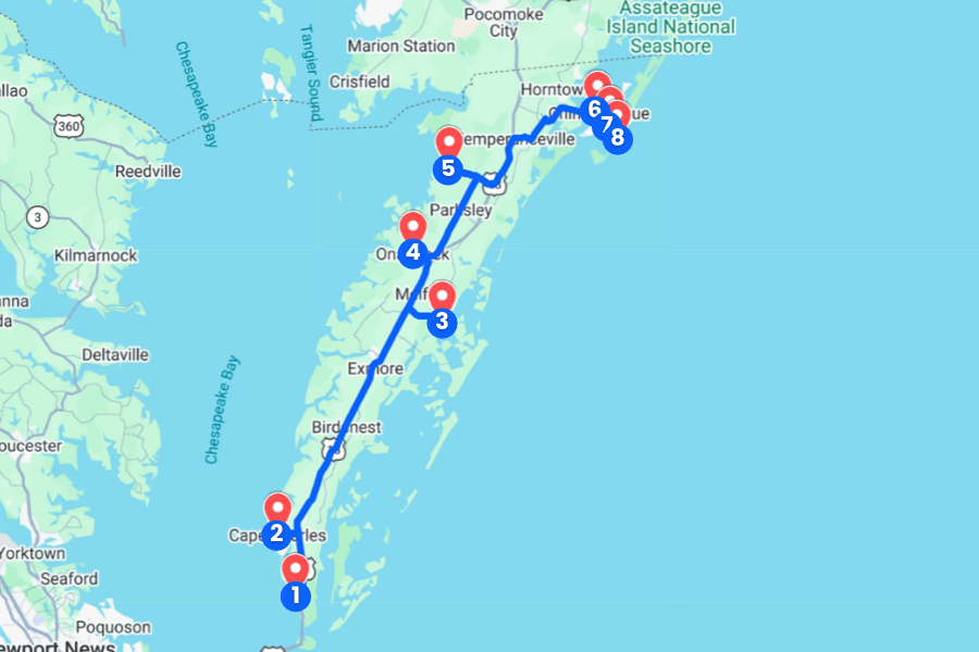
1. Kiptopeke State Park
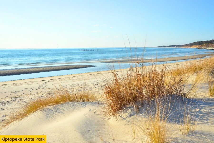
Kiptopeke State Park sits on Virginia’s Eastern Shore near Cape Charles, with 562 acres along the Chesapeake Bay and a sandy beach that’s perfect for swimming, fishing, and watching fiery sunsets over the water.
Walk or bike more than 5 miles of trails, explore the boardwalks and coastal forests, or cast a line from the park’s fishing pier, where you might hook striped bass, flounder, or croaker.
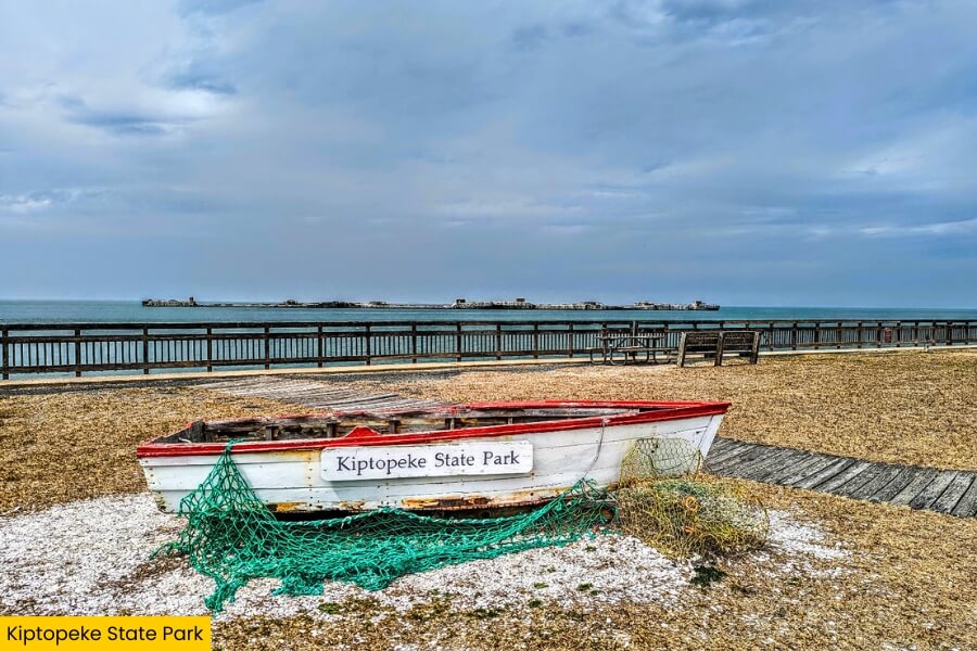
Just offshore, you’ll spot nine concrete ships from World War II that were sunk in 1948 to form a breakwater, creating one of the park’s coolest and most unusual sights.
Kiptopeke is also a major stop for migrating birds, and the park’s hawk observation platform is especially busy each fall when thousands of raptors travel south along the Eastern Shore.
2. Cape Charles
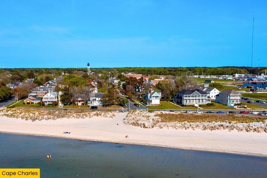
From Kiptopeke, drive for about 15 minutes to Cape Charles, a small Chesapeake Bay town packed with colorful storefronts, seafood restaurants, and streets lined with Victorian-era homes.
Start at Cape Charles Beach, where calm, shallow water and soft sand make swimming easy, then stroll the fishing pier at the end of Mason Avenue for wide-open bay views and sunset photos.
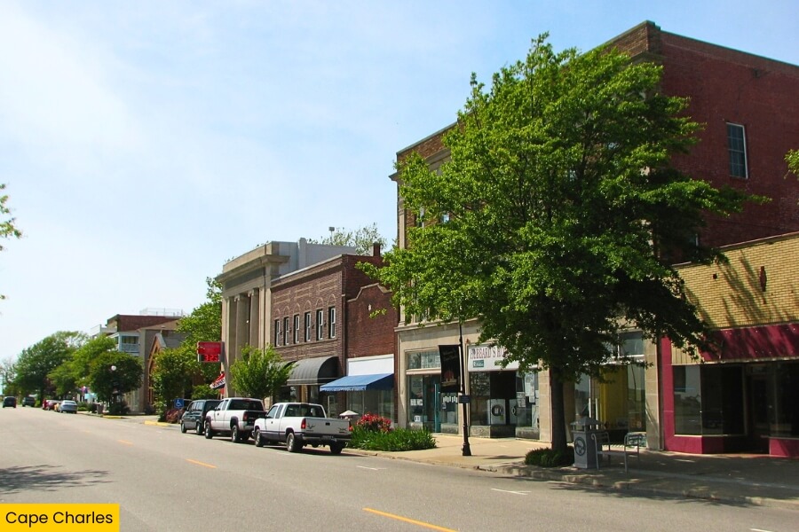
Downtown, grab ice cream, browse the shops along Mason Avenue, and check out the Cape Charles Museum, housed in a former power plant that tells the town’s railroad and ferry story.
For something different, head to nearby Savage Neck Dunes Natural Area Preserve, where a 0.75-mile trail leads through maritime forest and towering sand dunes to a quiet Chesapeake Bay beach.
3. Wachapreague
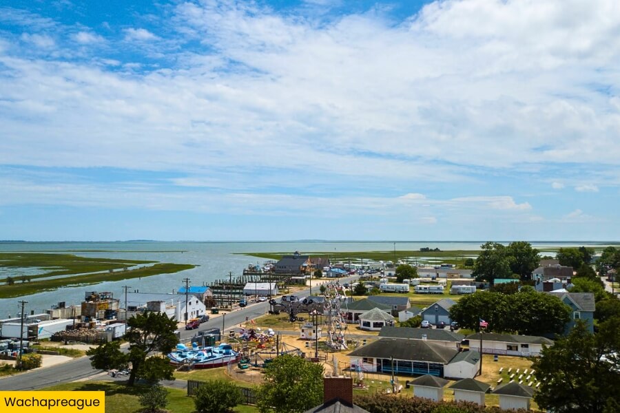
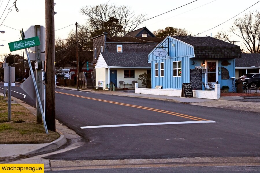
After Cape Charles, head about 40 minutes to Wachapreague, a tiny waterfront town on Virginia’s Atlantic side where working boats fill the harbor and winding creeks lead toward untouched barrier islands.
Known as the “Flounder Capital of the World,” Wachapreague is a favorite fishing stop, with anglers heading into the surrounding marshes and channels for flounder, red drum, trout, and other coastal catches.
Book a local boat tour or charter from Wachapreague to explore the nearby barrier islands, where you can spot dolphins, shorebirds, salt marshes, and long beaches that are only accessible by water.
Back in town, walk along the waterfront, watch fishing boats unload their catch, and take in views across the marsh and Wachapreague Channel.
4. Onancock
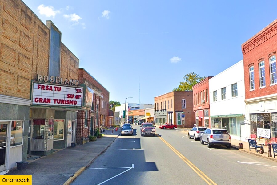
From Wachapreague, it’s about a 15-minute drive to Onancock, a small waterfront town built around Onancock Creek, which winds for about 4 miles before reaching the Chesapeake Bay.
Start on Market Street, where locally owned shops, galleries, restaurants, and the historic Roseland Theatre fill a downtown that’s easy to explore on foot.
Then rent a kayak from Burnham Guides Paddle & Bike and paddle along Onancock Creek, passing wooded banks, marshes, historic homes, and working docks as you make your way toward the bay.
Before leaving, visit the Ker Place museum, an impressive Federal-period Georgian-style mansion built from 1799 to 1803, then grab fresh seafood near the wharf and watch sailboats glide into the harbor.
5. Guard Shore Beach
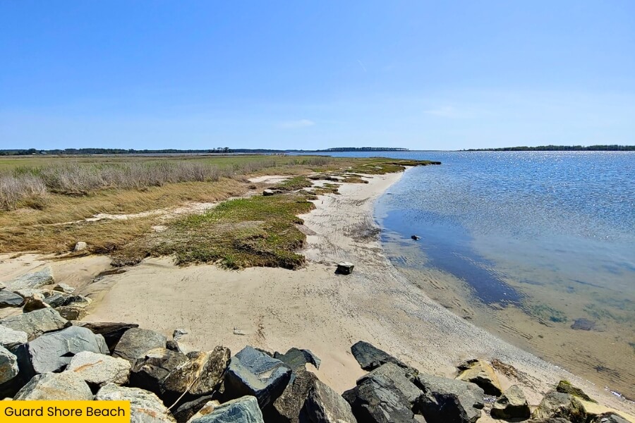
Leaving Onancock behind, drive for about 25 minutes to Guard Shore Beach, a remote Chesapeake Bay shoreline in Bloxom where you trade busy streets and shops for sand, marshes, and wide-open water.
The beach sits beside the Guard Shore Tract of Saxis Wildlife Management Area, a 5,500-plus-acre area of tidal marshes, creeks, pine woods, and habitat for herons, egrets, ducks, and other coastal birds.
Bring a kayak or paddleboard to explore the shallow bay and nearby creeks, or walk the shoreline looking for shells while enjoying views across the Chesapeake.
Facilities are limited here, so pack water and snacks, check local access conditions before your trip, and come prepared for a quiet coastal stop that feels completely different from Onancock’s historic harbor.
6. Chincoteague
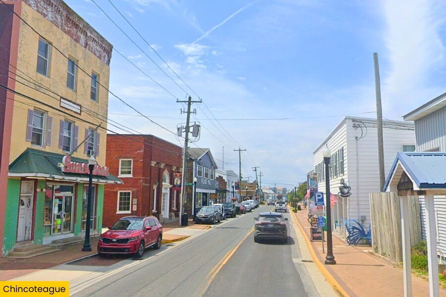
After the quiet shoreline at Guard Shore Beach, head about 35 minutes to Chincoteague, a lively island town famous for seafood, waterfront views, and the wild ponies living next door on Assateague Island.
Spend some time exploring downtown, walking along the waterfront, browsing local shops, and stopping for fresh oysters, crab cakes, or a scoop of ice cream.
You’ll also spot plenty of pony-themed shops and signs around town, especially during the annual Chincoteague Pony Penning in July.
Chincoteague National Wildlife Refuge and Assateague Island are just across the water, and both are worth their own stops.
7. Chincoteague National Wildlife Refuge
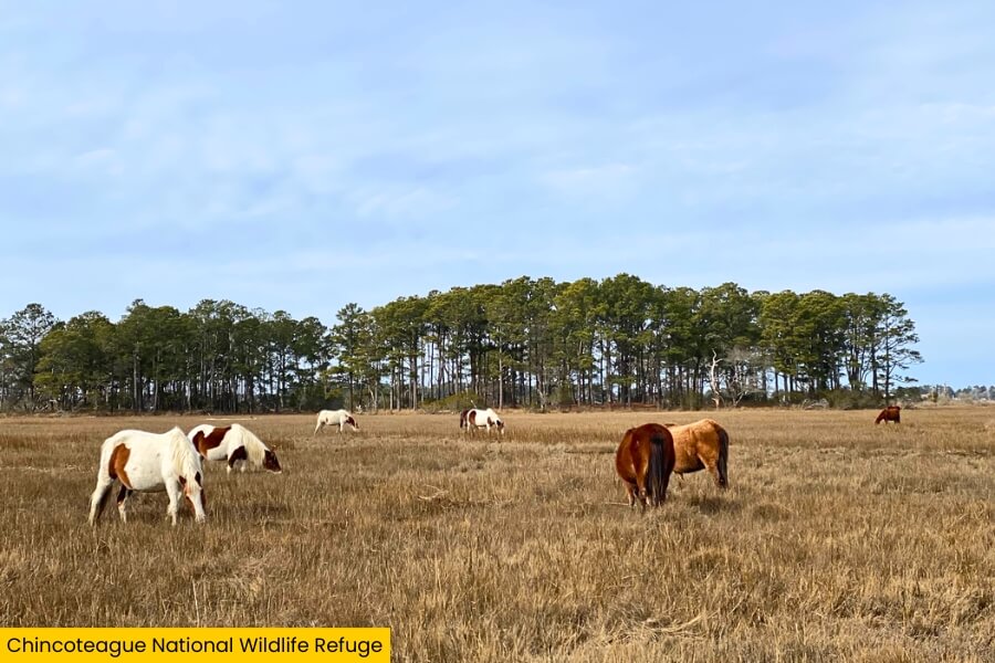
From Chincoteague, cross the short bridge onto Assateague Island and enter Chincoteague National Wildlife Refuge, a 14,032-acre protected area of salt marshes, maritime forest, dunes, and Atlantic shoreline.
The famous Chincoteague ponies are the big draw, but keep your eyes open for sika deer and hundreds of bird species, especially along the 3.25-mile Wildlife Loop.
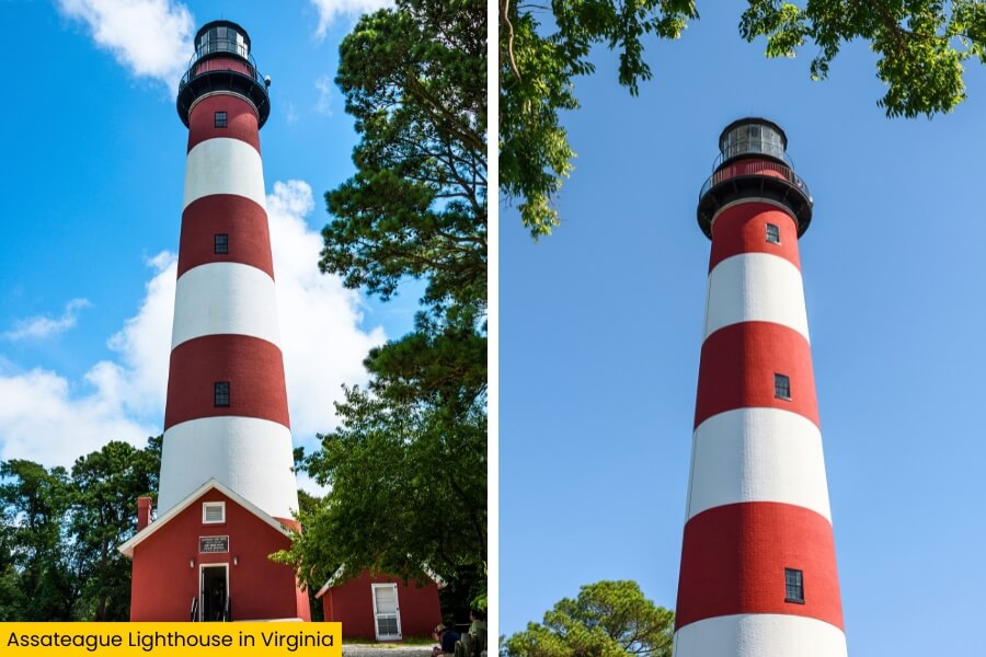
For a bird’s-eye view, climb 175 steps inside the red-and-white Assateague Lighthouse, which stands 142 feet tall and dates to 1867.
Finish at the refuge’s Atlantic beach for swimming and shell hunting, or explore the cycling trails for a longer ride through some of Assateague Island’s wildest scenery.
8. Assateague Beach
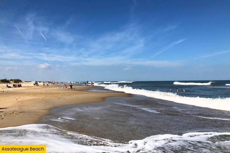
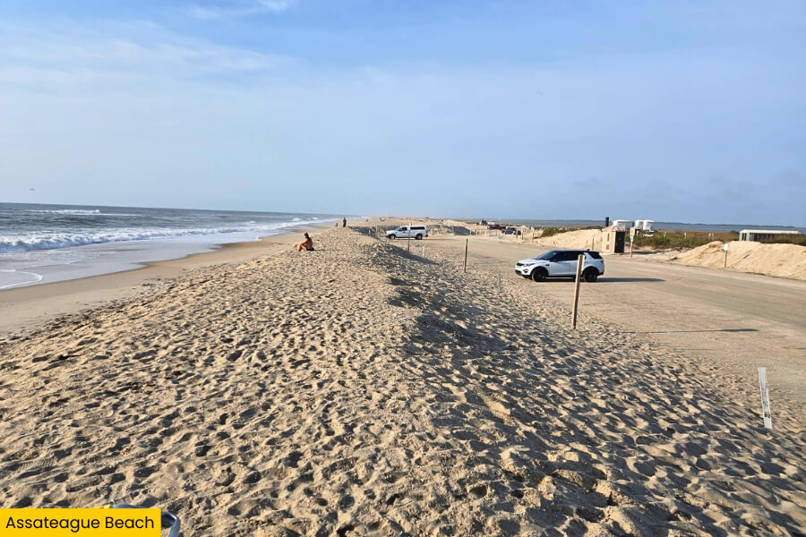
Finish your Eastern Shore road trip by following Beach Road through Chincoteague National Wildlife Refuge to Assateague Beach, a wide strip of sand facing the crashing waves of the Atlantic Ocean.
Spend the end of your road trip swimming, beachcombing, or watching shorebirds race along the water.
You can also walk south toward the quieter stretches of Assateague Island National Seashore, which protects 37 miles of coastline across Virginia and Maryland.
Keep an eye out for the island’s famous wild ponies, but stay at least 40 feet away and never feed or approach them.
There are no hotels or restaurants on this part of Assateague, so bring water and snacks, then stick around for one last ocean sunset before wrapping up your Virginia Eastern Shore adventure.
Related Posts