
Imagine cruising along a winding mountain road, with jaw-dropping views around every corner, colorful forests stretching for miles, and scenic overlooks so beautiful you’ll want to pull over every five minutes!
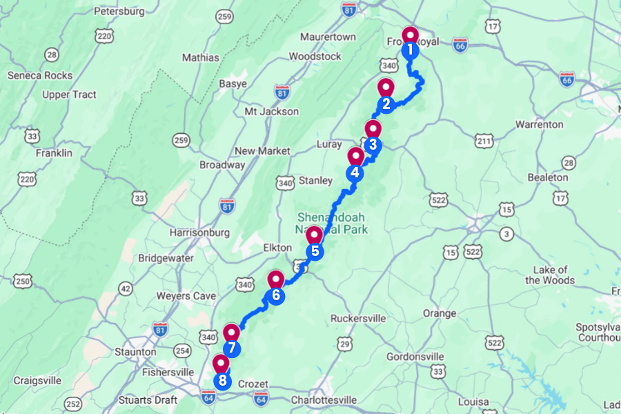
That’s exactly what you’ll find on Skyline Drive, a spectacular 105-mile road that winds through Virginia’s Shenandoah National Park, offering some of the best mountain scenery on the East Coast.
And the best part?
You don’t have to be an experienced hiker to enjoy it, because some of the most amazing views are just steps from your car.
In this guide, I’ll take you through the best stops along Skyline Drive, including a few surprises you definitely won’t want to miss.
1. Shenandoah Valley Overlook
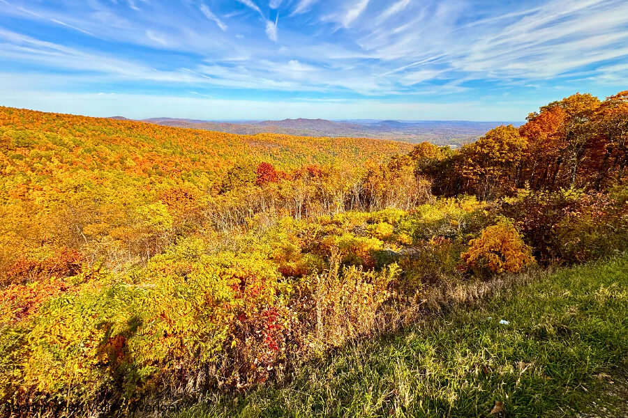
Shenandoah Valley Overlook is located at milepost 2.8 along Skyline Drive in Virginia’s Shenandoah National Park.
It’s one of the first scenic stops you’ll reach after entering through the Front Royal Entrance Station, making it a fantastic place to kick off your road trip.
Sitting at an elevation of around 1,390 feet, this roadside overlook offers sweeping northward views of the Shenandoah Valley, with forested hills and surrounding mountain ridges, including Signal Knob and Massanutten Mountain.
You can pull into the parking area, snap gorgeous photos, spot birds soaring overhead, and admire the colorful leaves that cover the valley each fall.
For an extra treat, stop by in the late afternoon or early evening, when warm sunlight can add a beautiful glow to the surrounding landscape.
2. Hogback Overlook
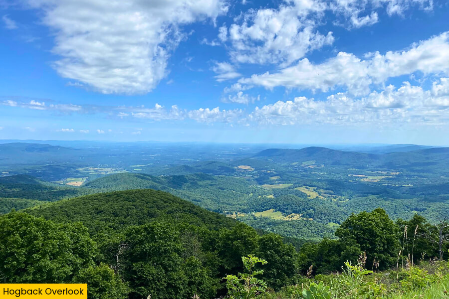
From there, drive for about 30 minutes along Skyline Drive to Hogback Overlook at milepost 20.8.
It’s one of the most impressive stops in Shenandoah National Park, offering sweeping panoramic views of the Shenandoah Valley and the Blue Ridge Mountains.
Perched at an elevation of around 3,385 feet, this overlook is one of the highest along Skyline Drive’s northern section, giving you incredible views of the winding Shenandoah River, rolling hills, and patchwork farmland far below.

The spacious roadside pull-off makes it easy to park, stretch your legs, and take panoramic photos without hiking a single step.
Keep your eyes peeled for hawks circling above the mountains, and if you’re visiting in October, the hillsides put on a spectacular show of red, orange, and golden fall leaves.
3. Marys Rock Summit Trailhead
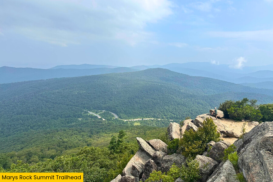
After soaking up the views at Hogback Overlook, it’s time to stretch your legs on the Marys Rock Summit Trail.
It’s one of the most rewarding hikes in Shenandoah National Park, with its main trailhead located at Panorama near Thornton Gap at milepost 31.6 on Skyline Drive.
The hike is approximately 3.7 miles round trip with around 1,200 feet of elevation gain, taking you along the famous Appalachian Trail through thick forests, rocky sections, and several steep climbs.
At the summit of Marys Rock, you’ll find massive rock outcrops with breathtaking views of the Shenandoah Valley, Thornton Gap, and the surrounding Blue Ridge Mountains.
Pack some water, wear sturdy shoes, and allow around 2 to 3 hours for this adventure, especially if you plan to spend extra time enjoying the incredible views from the top.
4. Stony Man Trailhead
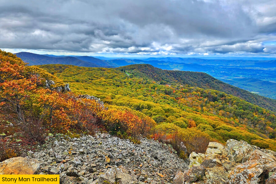
After tackling Marys Rock, head about 20 minutes to the Stony Man Trailhead at milepost 41.7 on Skyline Drive, where you’ll find a much easier hike with equally impressive mountain views and a fraction of the effort.
Starting from the parking area near Skyland Resort, this 1.6-mile round-trip loop climbs around 340 feet through a beautiful forest of oak trees and mountain laurel, following sections of the Appalachian Trail and the blue-blazed Stony Man Trail.
At 4,011 feet, Stony Man is the second-highest peak in Shenandoah National Park, and its rocky summit offers fantastic views of the Shenandoah Valley, Massanutten Mountain, and the winding Skyline Drive below.
The summit’s exposed rock ledges are popular for taking photos, but watch your footing near the steep drop-offs as they can be dangerous.
5. Baldface Mountain Overlook
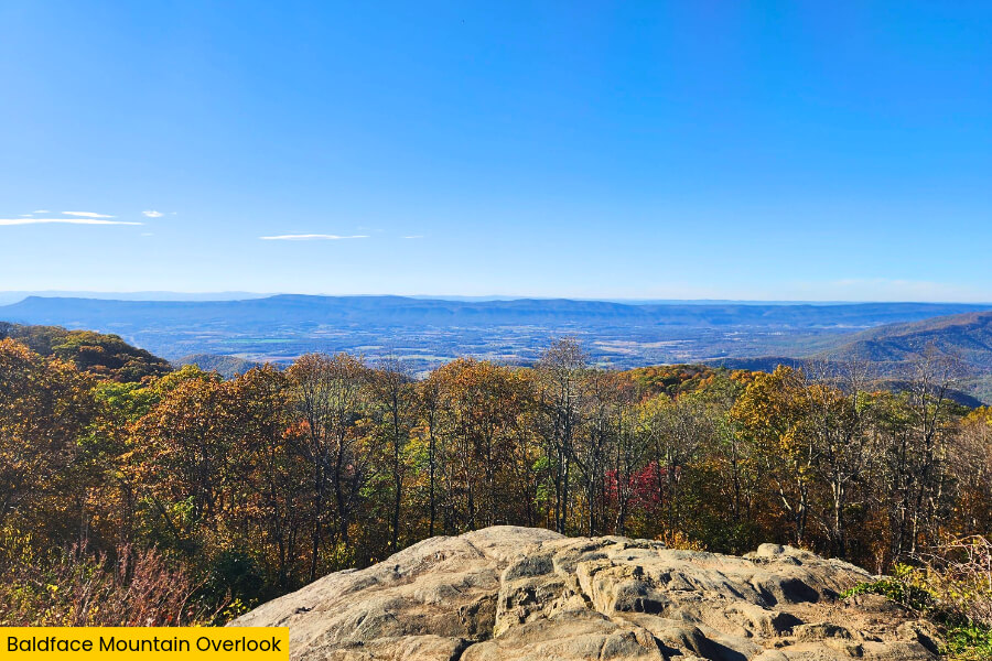
After exploring the rocky summit of Stony Man, drive for about 35 minutes along Skyline Drive to Baldface Mountain Overlook at milepost 61.3, where you’ll find another fantastic photo stop without having to lace up your hiking boots.
Located at an elevation of approximately 3,345 feet, this northwest-facing overlook offers sweeping views across forested mountain slopes toward the Shenandoah Valley.
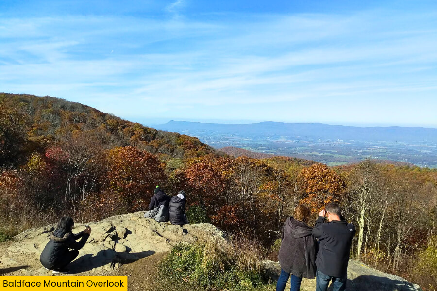
The changing light across the landscape makes it a scenic photography stop throughout the day.
Keep your camera ready for the colorful fall foliage in October, when the surrounding slopes turn brilliant shades of orange, yellow, and red.
6. Loft Mountain Overlook
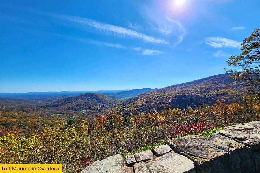
After a 1.5-hour drive south along Skyline Drive from Baldface Mountain, you’ll reach Loft Mountain Overlook at milepost 74.4, where you’ll find sweeping views of the Shenandoah Valley and the forest-covered mountains stretching toward the horizon.
Located at an elevation of approximately 2,455 feet, this roadside stop offers a different perspective from the higher overlooks, with rolling ridgelines, wooded slopes, and distant farmland creating a beautiful patchwork across the valley.
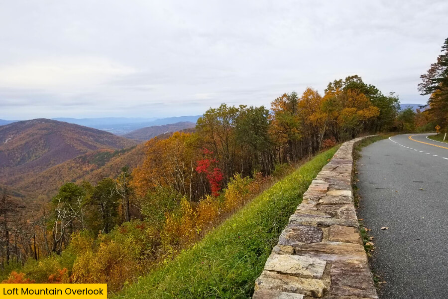
It’s a fantastic place to pull over for photos, especially when clear skies reveal the layered mountain ridges and Piedmont foothills.
If you’re ready for another adventure, head to nearby Loft Mountain Wayside at milepost 79.5, where you can access the 1.2-mile Frazier Discovery Trail, a scenic loop with more mountain views.
7. Moormans River Overlook
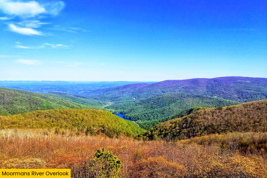
Continuing for about 30 minutes along Skyline Drive from Loft Mountain Overlook, you’ll reach Moormans River Overlook at milepost 92 on Skyline Drive.
This peaceful roadside stop lets you admire the mountains surrounding one of Shenandoah National Park’s beautiful river valleys.
Sitting at an elevation of approximately 2,975 feet, this east-southeast-facing overlook offers views across the Moormans River watershed, where forested slopes descend into the valley below.
The river eventually flows toward Sugar Hollow Reservoir, a scenic 47-acre lake that supplies drinking water to the Charlottesville area.
If you’re up for exploring beyond the overlook, the nearby Turk Mountain Trail at milepost 94.1 offers a 2.2-mile round-trip hike with rocky outcrops, mountain scenery, and fantastic views of the Shenandoah Valley.
8. Calf Mountain Overlook
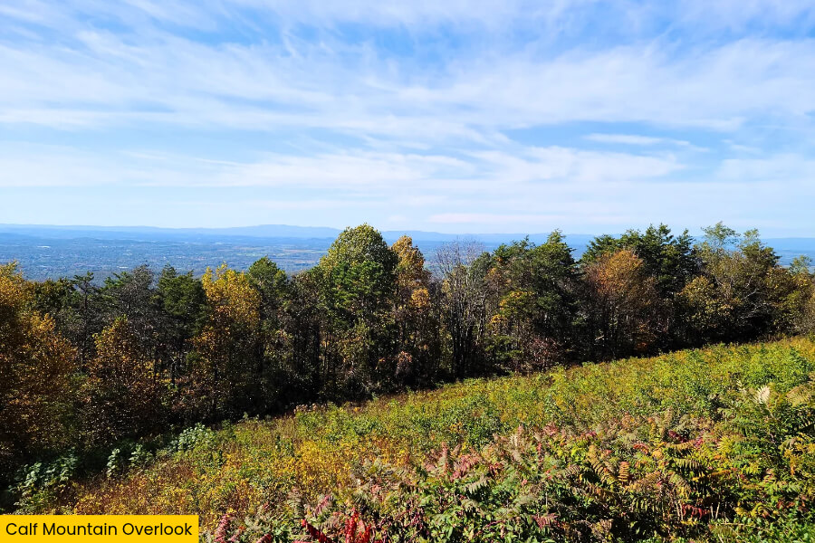
For the grand finale of your Skyline Drive road trip, continue for about 10 minutes along Skyline Drive to Calf Mountain Overlook at milepost 98.9.
It’s one of the last scenic stops before reaching the Rockfish Gap Entrance Station at the southern end of Shenandoah National Park.
Sitting at an elevation of nearly 2,500 feet, this overlook offers beautiful views of the surrounding Blue Ridge Mountains, with thick forests, rolling ridgelines, and the distant Virginia countryside stretching beyond the park.
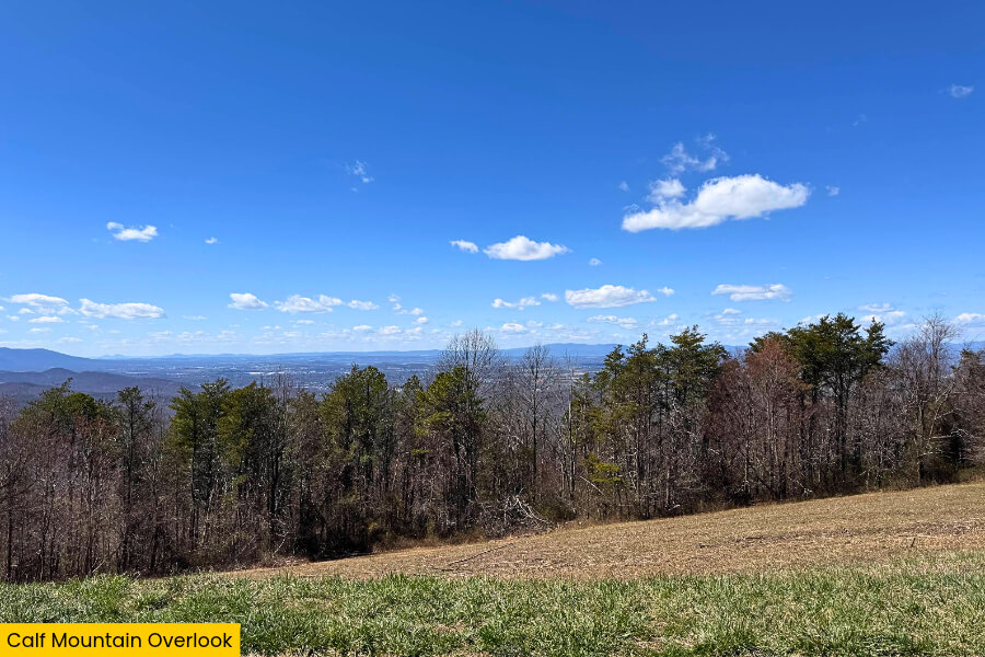
If you have some energy left, head to nearby Beagle Gap at milepost 99.5, where you can follow the Appalachian Trail toward Little Calf Mountain.
At the summit there’s a grassy meadow offering lovely mountain views and it makes for a rewarding final short hike.
Afterward, continue to Rockfish Gap at milepost 105, where Skyline Drive ends and the famous 469-mile Blue Ridge Parkway begins.
Related Posts