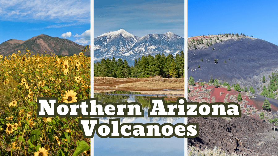
Did you know Northern Arizona is home to more than 600 volcanoes?
Yep, Arizona has a seriously explosive past, and you can still see the evidence scattered across its mountains, forests, and deserts!
From towering cones and massive lava fields to underground tunnels formed by molten rock, this part of the state is packed with some pretty wild natural wonders.
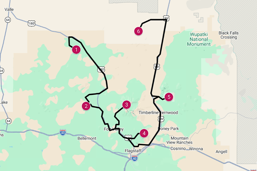
The best part is that you can visit many of them on one epic road trip, so keep reading to find out how to plan the ultimate Northern Arizona volcanoes adventure!
1. Red Mountain
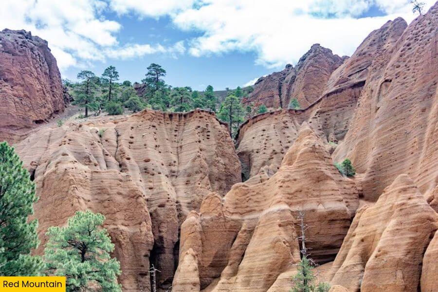
About an hour’s drive from Flagstaff, Red Mountain is a 1,000-foot-tall volcanic cinder cone famous for its towering red cliffs and unusual U-shaped crater.
Scientists believe it formed around 740,000 years ago as part of the San Francisco Volcanic Field, a huge landscape dotted with hundreds of ancient volcanoes.
For a closer look, follow the 2.7-mile round-trip Red Mountain Trail, an easy hike with just 300 feet of elevation gain that takes you past sandy paths and rock formations.
At the end, you’ll find massive walls of red, orange, and yellow rock, narrow passages to explore, and a short ladder that leads to even more incredible views.
2. Lava River Cave
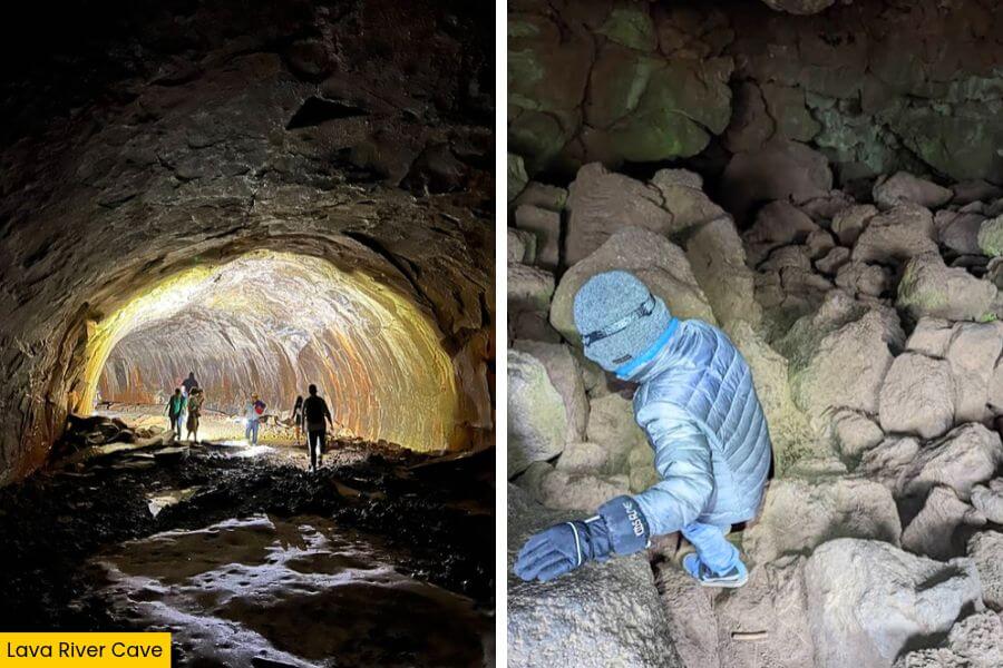
If you’re ready to go underground, drive 45 minutes from Red Mountain to Lava River Cave, a 0.75-mile-long lava tube that’s the longest of its kind in Arizona.
It was created about 700,000 years ago when flowing lava hardened on the outside while the molten rock inside kept moving, leaving behind a hollow passage.
Today, you can go spelunking inside the cave, climbing over uneven boulders, ducking beneath low ceilings, and spotting strange lava formations along the walls.
Temperatures stay around 35 to 45°F year-round, so bring warm layers, sturdy shoes, and at least two reliable light sources because it’s completely dark inside.
3. San Francisco Peaks
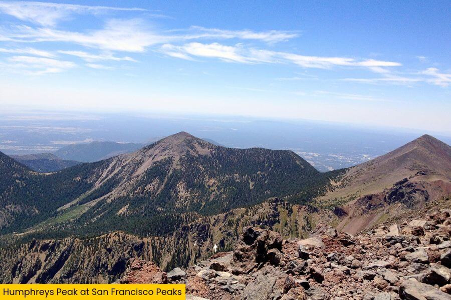
Once you’re back above ground, head to the San Francisco Peaks, a mountain range that was once a single massive volcano and is now home to Arizona’s six highest peaks.
The star attraction is Humphreys Peak, which stands at 12,633 feet and offers amazing views of Flagstaff and the distant Grand Canyon on clear days.
If you’re up for a challenge, tackle the 10-mile out-and-back Humphreys Peak Trail, which climbs over 3,300 feet through pine forests, aspen groves, and steep slopes.
Start your hike early if you can, since the trail gets more challenging above the treeline, with loose rocks, strong winds, and possible afternoon thunderstorms.
4. Mount Elden
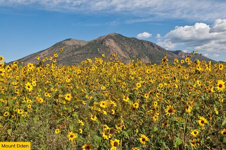
Your next stop is Mount Elden, a volcanic lava dome standing about 9,300 feet above sea level and one of Flagstaff’s most famous landmarks.
This one was formed when thick, slow-moving lava pushed up through several openings in the ground, gradually piling up to create the mountain you see today.
To explore, take the challenging 5.7-mile round-trip Elden Lookout Trail, which climbs 2,392 feet through ponderosa pine forests and rocky switchbacks to the summit.
At the top, you’ll find communication towers and incredible views of the city and the surrounding volcanic landscape, making the steep climb worth every step.
5. Sunset Crater Volcano National Monument
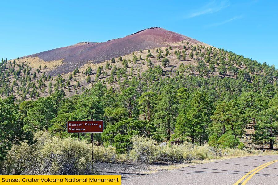
From Mount Elden, it’s about an hour’s drive to Sunset Crater Volcano National Monument, where a volcanic eruption around 1085 CE left behind fields of lava and ash.
Sunset Crater is the highlight here, standing about 1,000 feet tall with dark volcanic rock covering its slopes and beautiful shades of red and orange near the summit.
To protect its delicate landscape, climbing up to the summit is not allowed, but you can follow the 1-mile Lava Flow Trail through the Bonito Lava Flow near the base.
You can also take the easy 0.3-mile Bonito Vista Trail, a paved path that crosses a field of volcanic cinders and offers incredible views perfect for taking photos.
6. S P Crater

Lastly, drive about 50 minutes from Sunset Crater to S P Crater, an 820-foot-tall volcanic cone that stands among older cinder cones in the wide-open desert.
This volcano is believed to be around 70,000 years old and is known for its nearly perfect cone shape and a huge lava flow stretching about 4.3 miles north.
Unlike the previous stops, this one has no official trailhead, but you can explore the surrounding area and enjoy unforgettable views from nearby dirt roads.
Fun fact: The crater’s unusual name dates back to the 1880s, when a local rancher thought its shape looked like a spilled chamber pot, and the nickname stuck!
Related Posts