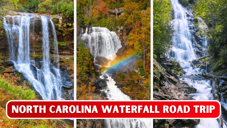
North Carolina knows how to put on a waterfall show, and this road trip packs some of the state’s biggest, tallest, and most exciting cascades into one unforgettable route.
You’ll walk behind roaring sheets of water, climb forest trails to towering drops, follow rivers through deep gorges, and find waterfalls that tumble hundreds of feet over massive rock faces.
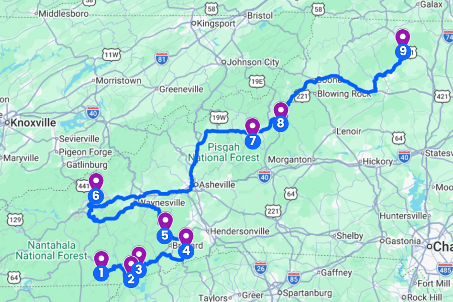
Some stops are just steps from your car, while others make you earn the view with steep stairs, rocky paths, and a few leg-burning climbs.
Grab your hiking shoes, charge your camera, and keep reading because this North Carolina waterfall road trip has one jaw-dropping stop after another.
1. Dry Falls
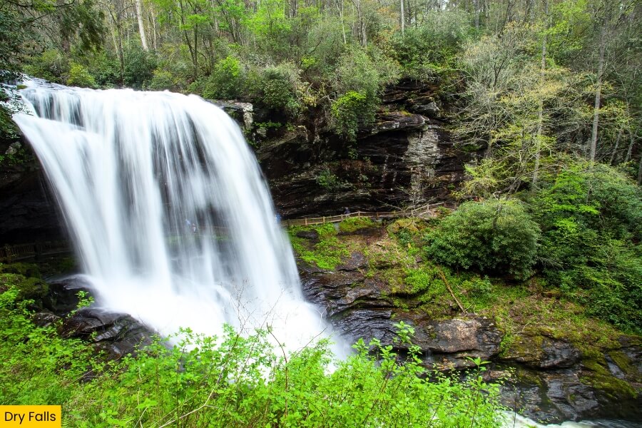
Dry Falls is a 75-foot waterfall in Nantahala National Forest, located just off U.S. Highway 64 about a 10-minute drive from Highlands, North Carolina.
The Cullasaja River pours over a huge rock ledge here, and a short paved path leads from the parking area to viewpoints and a walkway that takes you directly behind the roaring waterfall.
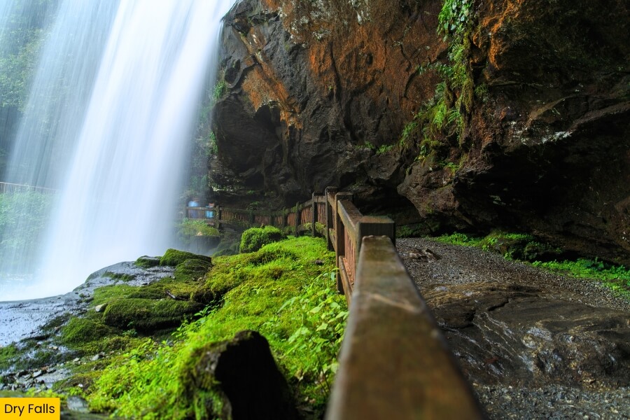
You can watch thousands of gallons of water plunge in front of you while staying mostly dry, which explains the name, although blowing mist can definitely give you a surprise shower.
Dry Falls is part of the 61-mile Mountain Waters Scenic Byway, and its easy access, dramatic drop, and behind-the-falls walkway make it an awesome stop on your North Carolina waterfall road trip.
2. Whitewater Falls
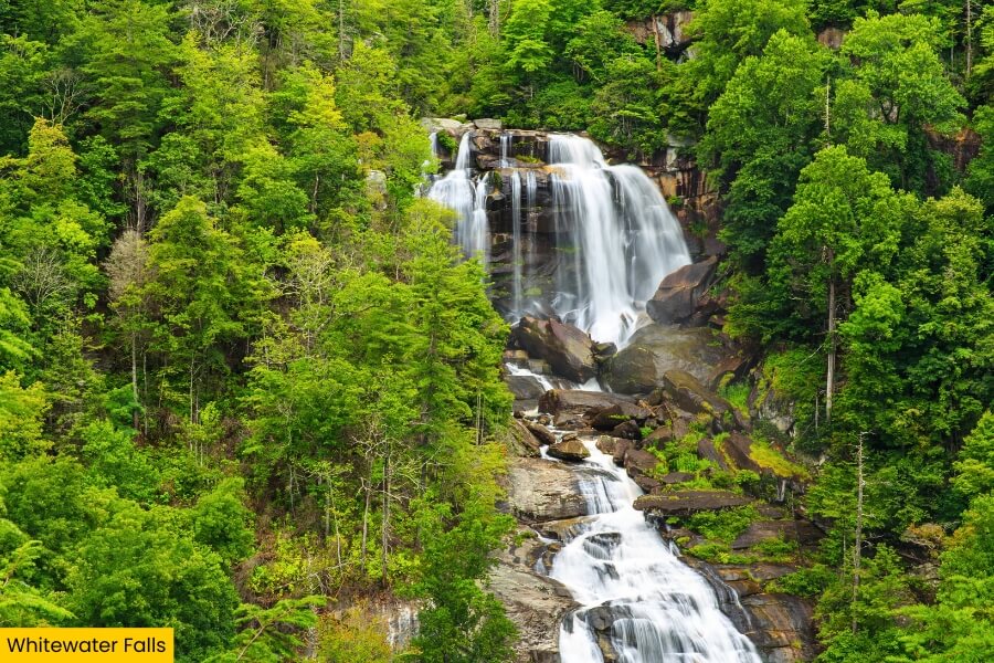
Next up, Whitewater Falls cranks up the scale with a massive 411-foot drop near the North Carolina-South Carolina border in Nantahala National Forest.
Upper Whitewater Falls is the tallest waterfall east of the Rocky Mountains, with the Whitewater River crashing down a steep wall of rock surrounded by thick forest.
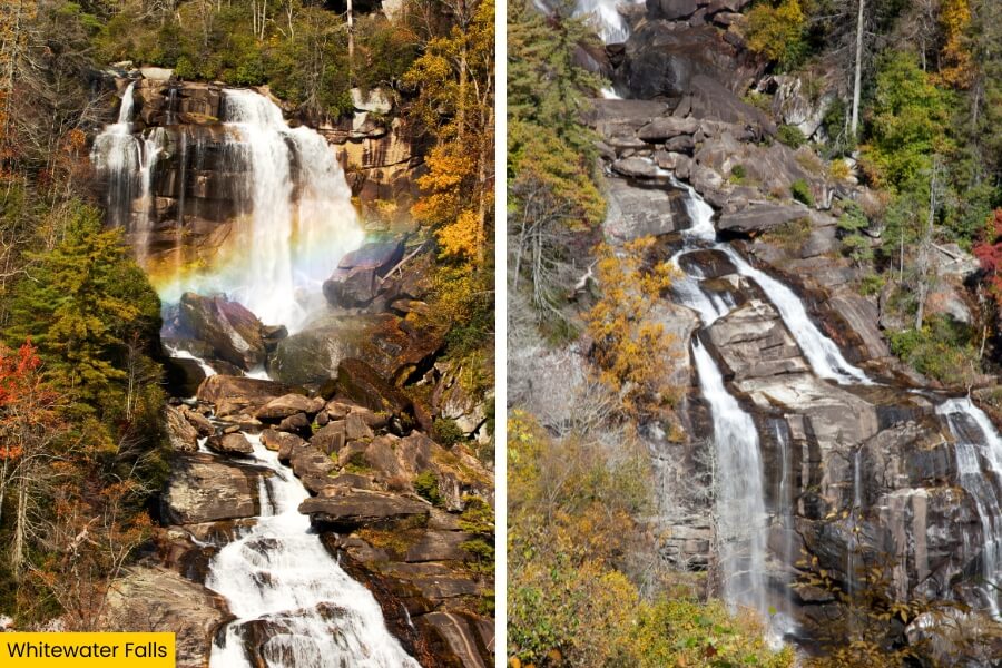
From the parking area, follow a paved 0.25-mile path to the main overlook, or tackle 154 wooden steps to reach a lower viewing platform with an even clearer look at the falls.
Bring $3 for the day-use parking fee and stick to the marked overlooks because the cliffs around the waterfall can be extremely steep and dangerous, even though those dramatic slopes make this one of the biggest sights on the entire road trip.
3. Rainbow Falls
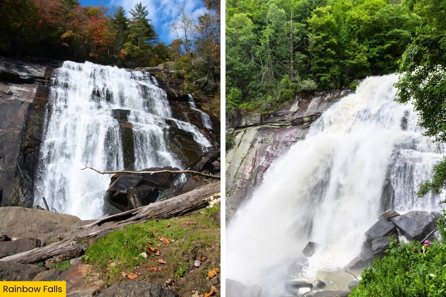
After seeing Whitewater Falls from its overlooks, Rainbow Falls gets you moving with a 3-mile round-trip hike through Gorges State Park near Sapphire.
The Horsepasture River blasts 150 feet over a wide rock face, throwing up enough mist to create colorful rainbows on sunny days, especially when the sun hits the spray at the right angle.
The trail loses elevation before climbing toward the falls, with a substantial amount of elevation gain on the return trip, so save some energy for that uphill finish.
Once you reach Rainbow Falls, enjoy the view from designated spots, then hike about a half mile farther upstream to Turtleback Falls, but stay out of the powerful river currents and away from slippery rocks near both waterfalls.
4. Triple Falls
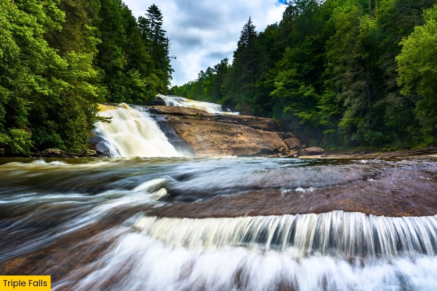
From Rainbow Falls, keep the waterfall streak going at Triple Falls in DuPont State Recreational Forest, about 20 minutes from Brevard.
Here, the Little River tumbles across three huge rock ledges, creating a staircase of rushing water that looks especially impressive after a good rain.
Starting at the Hooker Falls Access Area, you can reach the main Triple Falls overlook on an easy-to-moderate hike of about 0.4 mile one way, with some uphill sections along the route.
Movie fans may recognize Triple Falls from The Hunger Games and The Last of the Mohicans, and you can continue roughly 1 mile upstream to 125-foot High Falls for another spectacular stop without moving your car.
5. Looking Glass Falls
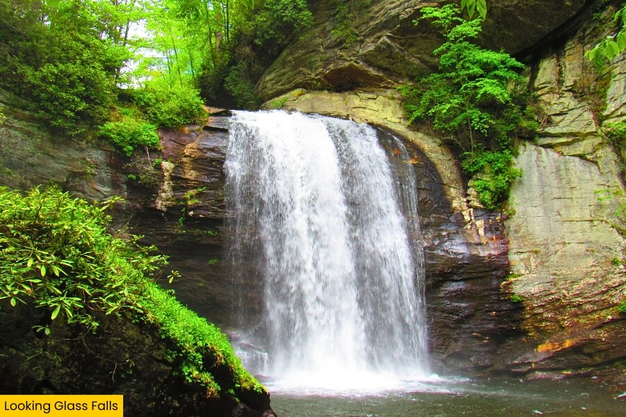
After stretching your legs at Triple Falls, Looking Glass Falls gives you a break from hiking because this 60-foot beauty sits right beside U.S. Highway 276 in Pisgah National Forest, less than 20 minutes from Brevard.
You can see Looking Glass Creek pouring over the broad cliff from the roadside overlook, then walk down a staircase for a closer view from the base.
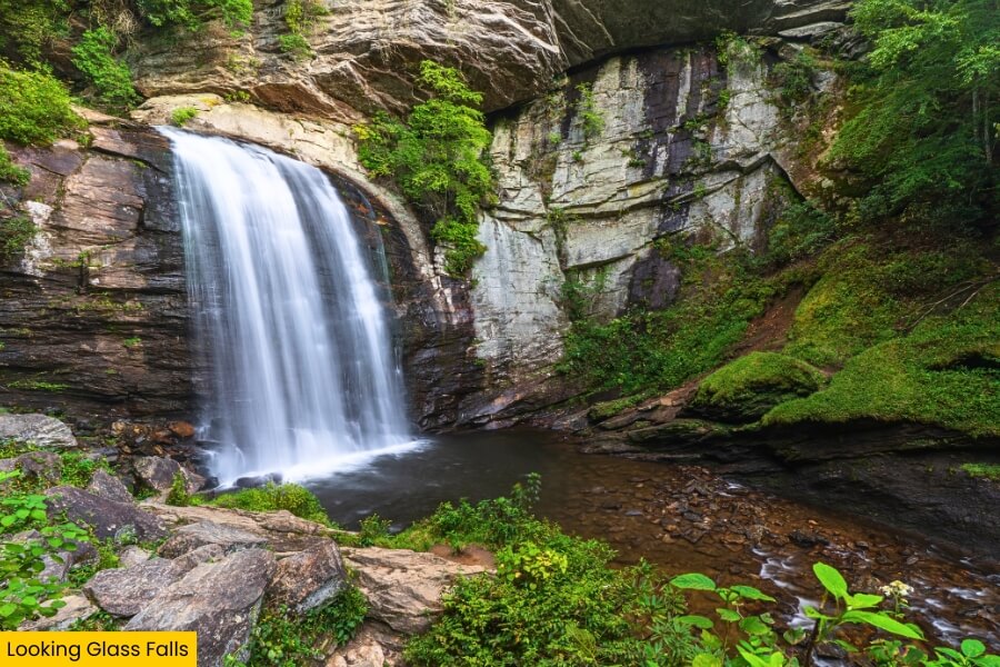
During warmer months, people wade and splash in the water below the falls, but slick rocks and strong currents mean you should watch your footing and avoid climbing near the cascade.
Its name comes from nearby Looking Glass Rock, where winter ice once reflected sunlight like a mirror, and the waterfall’s easy roadside access makes it one of western North Carolina’s most photographed falls.
6. Mingo Falls
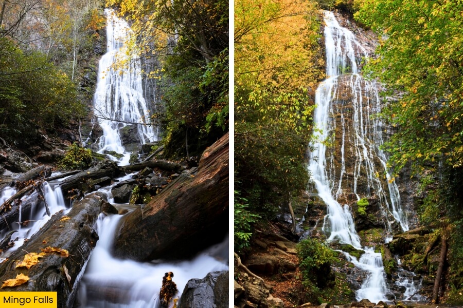
Once you’ve made the easy roadside stop at Looking Glass Falls, Mingo Falls makes you work a little harder, starting with about 160 steps on the 0.4-mile round-trip Pigeon Creek Trail near Cherokee.
Located on the Qualla Boundary beside Great Smoky Mountains National Park, this towering waterfall sends Mingo Creek tumbling roughly 120 feet down a steep wall of dark rock.
The climb is short but surprisingly steep, and a wooden footbridge at the end gives you a straight-on view of the long, narrow streams of water spilling through the forest.
“Mingo” means “big bear” in the Cherokee language, and you can reach the trailhead from Big Cove Road, making this a quick but seriously impressive addition to your North Carolina waterfall route.
7. Crabtree Falls
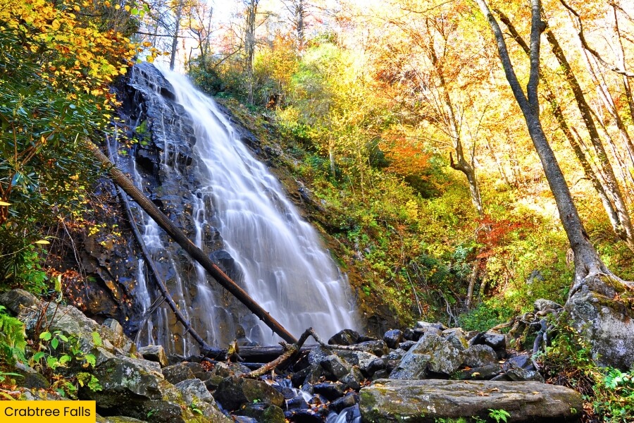
After climbing the steps at Mingo Falls, head toward the Blue Ridge Parkway for Crabtree Falls, a 60-foot cascade at Milepost 339.5 near Little Switzerland.
Crabtree Creek fans across a wide rock face in dozens of thin streams, and a wooden footbridge at the bottom gives you a fantastic straight-on view surrounded by hardwood forest.
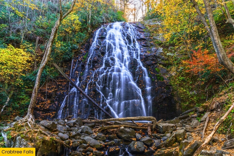
Reaching it takes more effort than a roadside stop, with the Crabtree Falls Trail forming a roughly 2.5-mile loop that drops steeply to the waterfall before climbing back toward the trailhead.
Come in spring for wildflowers or fall for colorful leaves, wear shoes with solid grip for the rocky sections, and remember that the trail can be slippery after rain.
8. Linville Falls
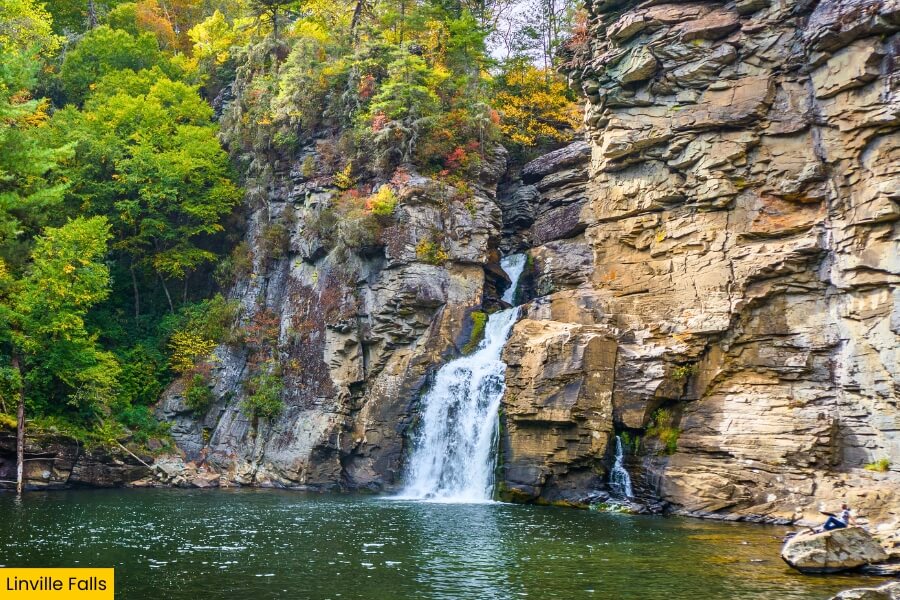
About a 50-minute drive from Crabtree Falls, Linville Falls is where the Linville River drops about 90 feet into the steep walls of Linville Gorge near Milepost 316.4.
For the classic view, take the 1.6-mile round-trip Erwins View Trail, which passes several overlooks where you can watch the river squeeze through a narrow rocky channel before crashing into the gorge.
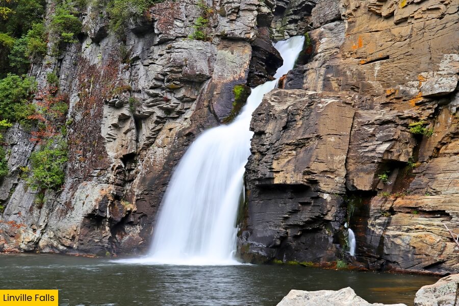
If you want a closer look, the more challenging Linville Gorge Trail descends roughly 0.7 miles to the river below the falls, with a steep climb waiting on the way back.
Linville Gorge plunges nearly 2,000 feet below its surrounding ridges, earning it the nickname “Grand Canyon of the Southern Appalachians” and giving this stop some seriously dramatic scenery.
9. Stone Mountain Falls
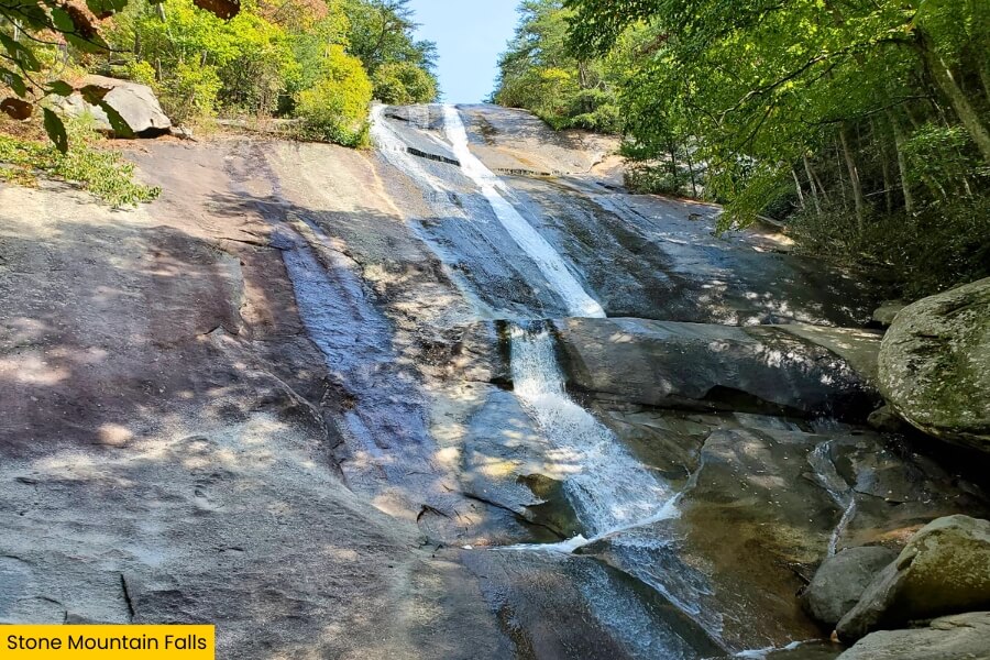
Finish your waterfall road trip at Stone Mountain Falls in Stone Mountain State Park, where water slides 200 feet down a huge granite face near Roaring Gap.
Unlike the powerful plunge at Linville Falls, this cascade spreads into thin sheets as it races over smooth rock, creating a completely different finale for the route.
The 4.5-mile Stone Mountain Loop Trail leads past the falls and includes wooden steps, plus views of the park’s massive 600-foot granite dome and the historic Hutchinson Homestead.
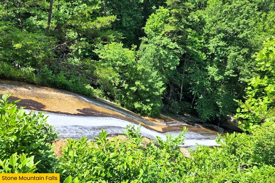
Stay behind the railings because the sloping rock beside the waterfall gets dangerously slick, then celebrate completing the trip with a picnic or a stop at one of the park’s designated trout streams.
Please note: At the time of writing, the Stone Mountain Loop Trail is closed due to a stair replacement project that began in November 2025. Since the trail leads to the falls, be sure to check the latest trail conditions online before planning your visit.
Related Posts