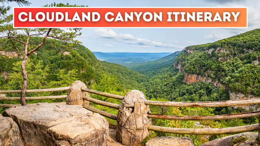
Cloudland Canyon State Park packs plunging waterfalls, deep forested gorges, and some seriously impressive views into one unforgettable corner of Georgia.
With more than 3,500 acres to explore though, figuring out what to see first can quickly turn into a game of trail-map confusion.
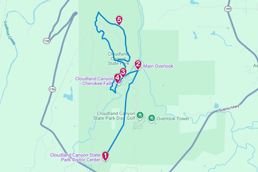
That’s where this Cloudland Canyon State Park itinerary comes in, with practical tips on hiking distances, steep climbs, timing, and what to expect before hitting the trail.
Keep reading, because some of the park’s best scenery requires a little legwork, and you’ll want to save your energy for the right spots.
1. Cloudland Canyon State Park Visitor Center

The Cloudland Canyon State Park Visitor Center sits in the park’s main area in Rising Fawn, making it a handy first stop before exploring its 3,538 acres.
Inside, you can grab trail maps, ask rangers about current conditions, and browse souvenirs, snacks, camping supplies, and Georgia State Parks merchandise.
Right outside, you’ll find a scenic overlook with wide views across the surrounding forest, and you’re also close to the famous canyon overlooks and trails.
So stop in before hiking, use the restroom, grab any last-minute information, and prepare your legs for what’s ahead, especially if you’re taking one of the steeper routes.
(At the time of writing, the Visitor Center is temporarily closed for renovations, so check online for the latest updates before your visit.)
2. Main Overlook
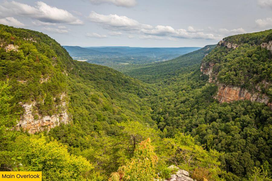
Once you have your bearings, head straight to the Main Overlook, one of the state park’s easiest places to score a huge canyon view without tackling a long hike.
It’s just a 5-minute drive from the Visitor Center, and you can follow the 1-mile round-trip Overlook Trail along the canyon rim before hiking down to the viewing area.
Once there, you can use the scope to get a closer look at the rugged cliffs, dense forest, and deep canyon below, or pull out your camera for plenty of photos.
For the best views, visit during fall for bright red, orange, and gold leaves, or arrive near sunset when the cliffs and distant ridges catch the day’s final light.
3. Hemlock Falls
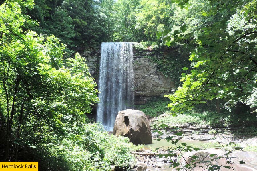
After taking in the canyon from above, trade those wide-open views for the strenuous Waterfalls Trail, which drops quickly from the Main Trailhead.
Hemlock Falls is the farther of the trail’s two major waterfalls, sitting roughly a mile from the trailhead after a steep descent down hundreds of stairs.
The cascade drops 90 feet over a tall, curved cliff wall, with a wooden viewing platform offering a clear look at the rushing water and mossy rocks below.
Save some energy for the climb back up because those 600 metal stairs hit much harder in reverse, especially after rain makes the route wet and slippery.
4. Cherokee Falls
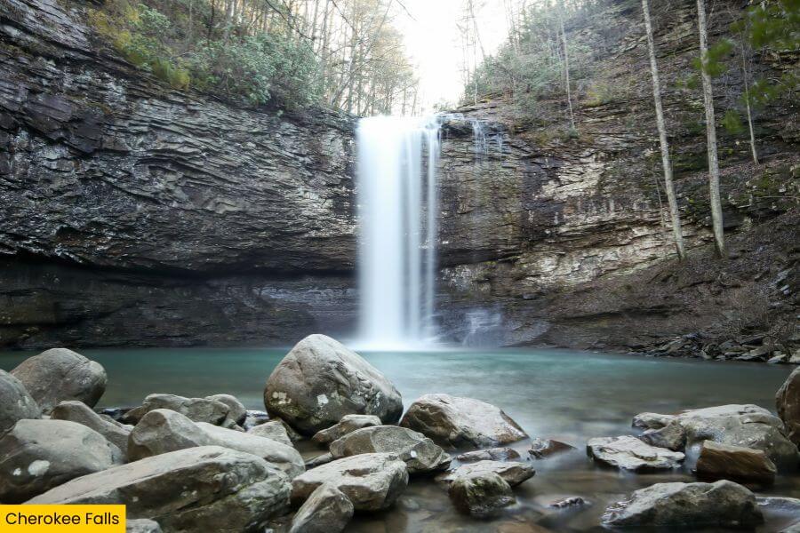
Before climbing back up, make time for Cherokee Falls, the other big payoff along the Waterfalls Trail and an easy detour from the main staircase.
A short spur trail leads to this 60-foot waterfall, where Daniel Creek tumbles over a rocky ledge into a shallow pool surrounded by towering trees and layered rock walls.
If you want to see it at its best, visit after heavy rain or during the wetter winter and spring months, when the water flow is usually strongest.
With such a peaceful setting, it’s worth spending a little extra time here, so soak up the scenery and snap plenty of photos before heading to your next stop.
5. West Rim Loop Trail
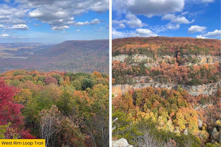
Once you’ve climbed out of the waterfall area, switch gears with the West Rim Loop Trail, a 5-mile route that explores Cloudland Canyon’s quieter western edge.
The trail crosses rocky, root-covered terrain, wooded sections, staircases, and small streams, keeping the scenery interesting from start to finish.
Expect about 718 feet of elevation gain across the full hike, with plenty of short climbs to keep your legs working without the endless waterfall stairs.
Several viewpoints sit along the route, so pack plenty of water, allow three hours, and stop for photos of the sandstone cliffs, forested gorge, and distant landscape.
Related Posts