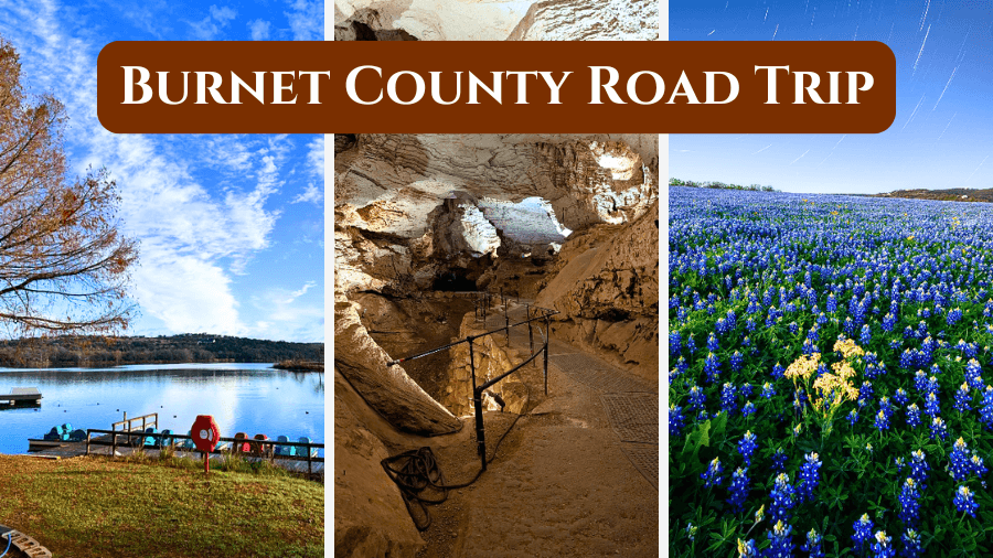
Burnet County is the kind of place where one road trip can take you from billion-year-old rocks to cool underground caves, and fields covered in Texas bluebonnets.
Located northwest of Austin in the Texas Hill Country, the county packs a surprising amount of adventure into a drive you can easily tackle over a weekend.
Along the way, you can swim, hike, explore historic buildings, wander through small-town streets, and discover stories dating back to the 1800s.
There are even fun local traditions, unexpected geological wonders, and plenty of spots where you’ll want to pull over for photos.
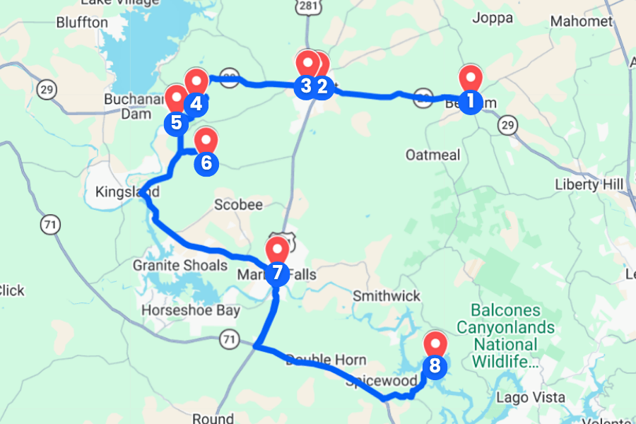
This Burnet County road trip connects the best stops into one easy route, so fill up the tank and keep reading to see where the journey takes you.
1. Bertram
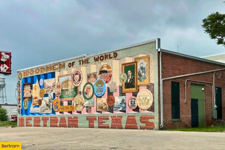
Bertram sits in eastern Burnet County along Highway 29, about 10 minutes from Burnet and roughly 45 minutes from downtown Austin.
This small Texas Hill Country town is best known for the annual Bertram Oatmeal Festival, a quirky September tradition dating to 1978 that includes a parade, races, live music, and plenty of oatmeal-themed fun.
For another quick road-trip stop, check out Flanigan’s Texas Distillery & Winery downtown, then explore Bertram’s compact streets lined with old storefronts that recall its days as a railroad and farming community.
2. Burnet Historic Square
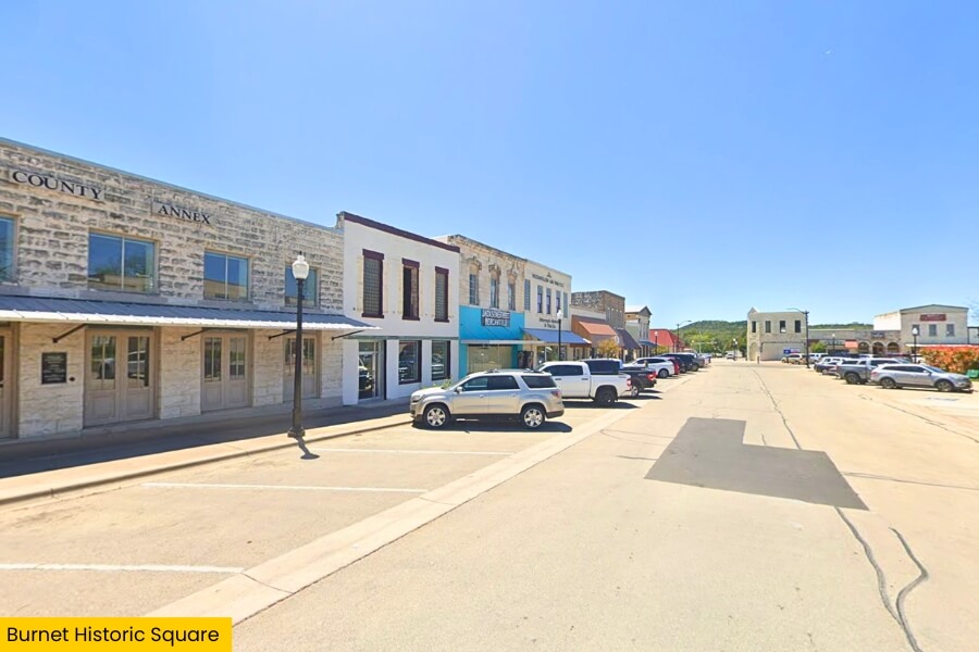
Just a short drive west on Highway 29 brings you to Burnet Historic Square, where the pink granite Burnet County Courthouse has anchored downtown Burnet since 1937.
Walk around the square to browse local shops, grab a bite, and spot historic buildings that show off the town’s role as the Burnet County seat since the 1850s.
Just off the square, the Fort Croghan Museum preserves an 1849 frontier fort site with restored log cabins, historic farm equipment, and exhibits covering early life in this part of Central Texas.
If you visit in spring, Burnet gets extra busy during the Bluebonnet Festival, an annual April celebration featuring a parade, live music, vendors, and streets packed with those famous Texas wildflowers nearby.
3. Fort Croghan Museum
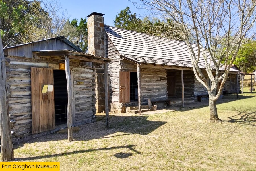
From Burnet Historic Square, take a short drive to Fort Croghan Museum, where you can dig deeper into the frontier story behind modern-day Burnet.
Fort Croghan was established in 1849 as a U.S. Army post and named for Colonel George Croghan, with soldiers stationed here to protect settlers moving into Central Texas.
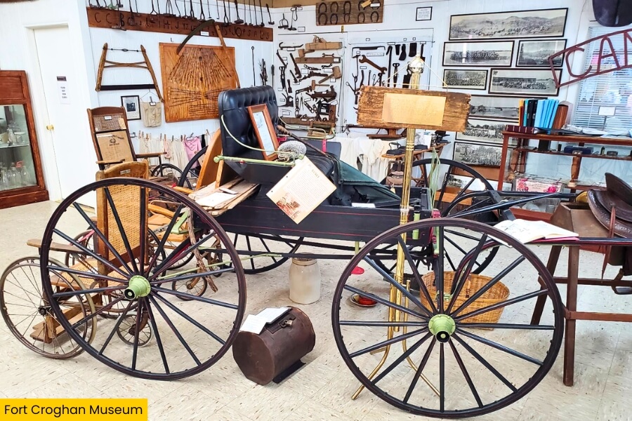
Today, the museum complex includes restored log cabins, a blacksmith shop, an old stage stop, farm equipment, and historic buildings furnished with tools and household items from Burnet County’s early days.
Admission is free, so take your time exploring the grounds and picture life before Highway 29 and air conditioning.
4. Inks Lake State Park
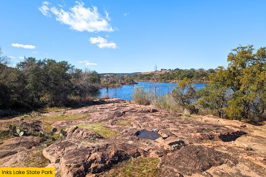
After exploring Burnet’s frontier days, trade log cabins for lake views at Inks Lake State Park, about 15 minutes from the museum on the Colorado River.
The park covers more than 1,200 acres beside Inks Lake, where you can swim, kayak, paddleboard, fish for bass and catfish, or rent a canoe from the park store.
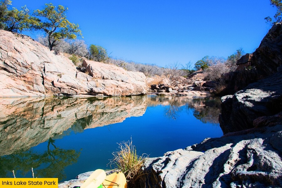
Hike the 1.8-mile Pecan Flats Trail for rocky Hill Country scenery, then head to Devil’s Waterhole, a popular swimming spot surrounded by pink Valley Spring Gneiss that is more than a billion years old.
Because Inks Lake’s water level stays fairly constant, this is a dependable year-round stop, and its nearly 200 campsites make it easy to turn this stop into an overnight adventure.
5. Inks Dam National Fish Hatchery Pavilion
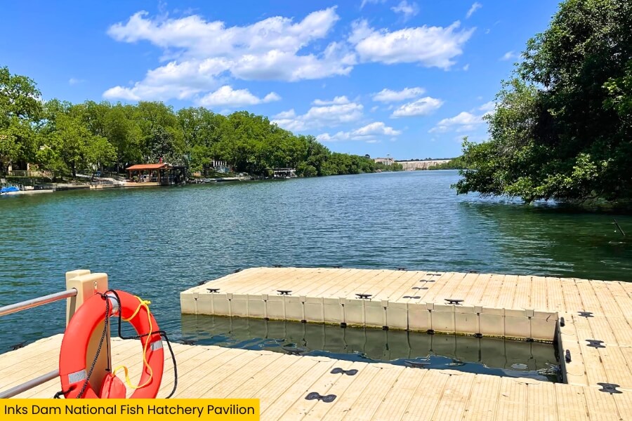
About a 5-minute drive from Inks Lake State Park, swing into Inks Dam National Fish Hatchery, a federal facility located along the Colorado River near Inks Dam and established in 1938.
The hatchery raises channel catfish for Tribal fisheries across the Southwest, giving you a cool peek at a side of wildlife management that most road trips completely miss.
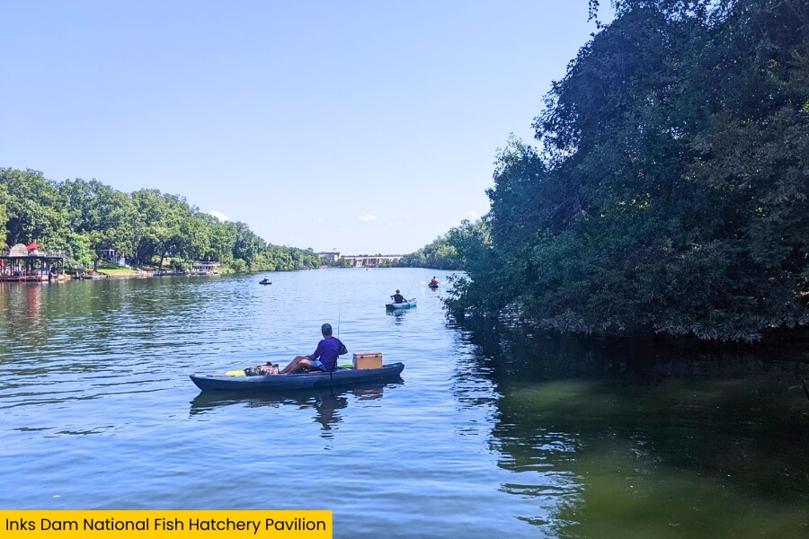
Follow the public areas around the fish-rearing ponds, watch for birds and other wildlife, and bring a picnic for a shady break from the Texas sun.
The hatchery sits among exposed pink and gray rock as well as Hill Country vegetation, making this an easy nature-focused stop.
6. Longhorn Cavern State Park
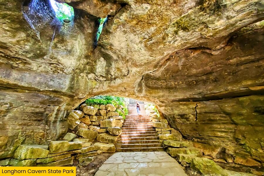
From the fish hatchery, drive about 7 minutes to Longhorn Cavern State Park, where the road trip heads underground into a limestone cave carved by an ancient river.
The popular Cavern Walking Tour travels roughly 1.1 miles through rooms and narrow passages filled with smooth limestone walls, sparkling calcite, and formations with names like the Queen’s Watchdog.
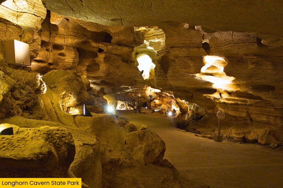
The cave has hosted Comanche people, Confederate gunpowder makers, 1920s performers, and even a 1930s nightclub, giving you plenty of wild stories to hear during your guided tour.
Back above ground, check out the Civilian Conservation Corps buildings constructed from local stone in the 1930s, climb the historic observation tower, and enjoy sweeping Hill Country views before hitting the road again.
7. Marble Falls
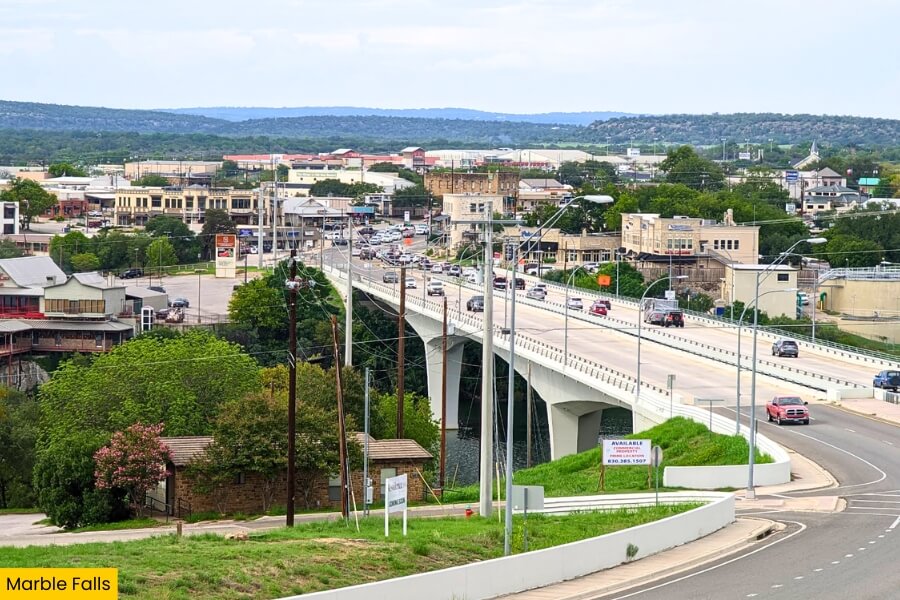
Drive about 15 minutes to Marble Falls, a lakeside city along Highway 281 beside Lake Marble Falls.
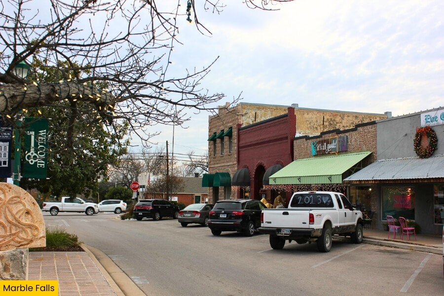
Start downtown on Main Street, where locally owned shops and restaurants sit just blocks from the water, then grab a famous pie at the Blue Bonnet Cafe, serving hungry travelers since 1929.
For outdoor time, head to Lakeside Park for waterfront views, or visit nearby Balcones Canyonlands National Wildlife Refuge, which protects 27,000 acres of Texas Hill Country habitat.
Fun fact: Marble Falls was named for waterfalls that early settlers mistook for marble, although the exposed rock was actually limestone, and those original falls now sit underwater beneath Lake Marble Falls.
8. Muleshoe Bend Recreation Area
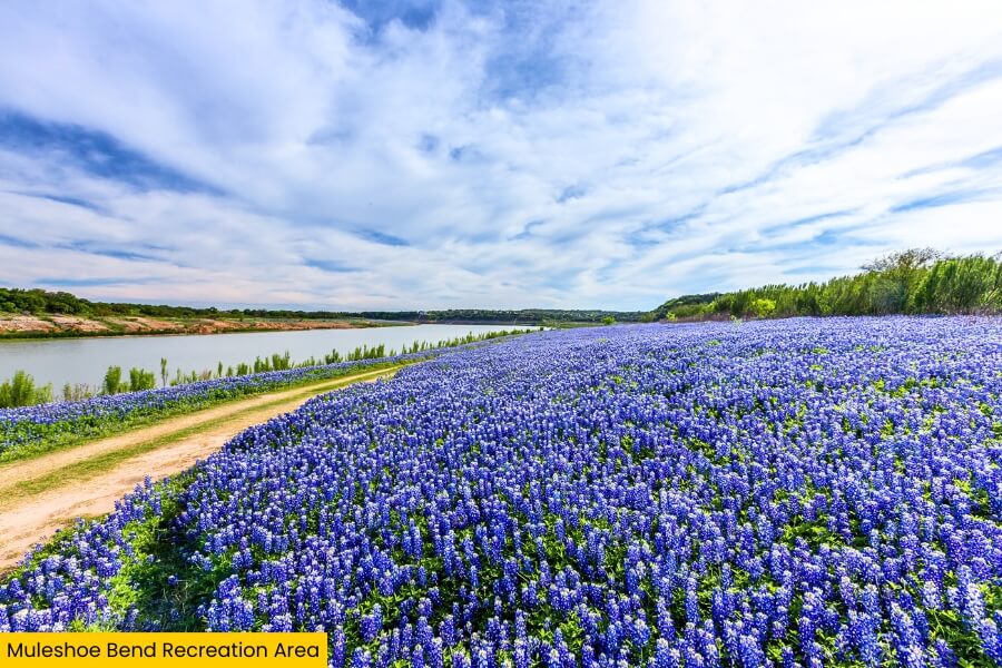
Finish your Burnet County road trip about 25 minutes from Marble Falls at Muleshoe Bend Recreation Area, a 654-acre park wrapping around a bend in the Colorado River on Lake Travis.
More than 9 miles of multi-use trails twist through cedar trees, open fields, and rocky Hill Country terrain, giving you plenty of room to hike, mountain bike, or explore on horseback.
Spring steals the show when bluebonnets can blanket huge sections of the park in March and April, while the shoreline is great for kayaking, fishing, swimming, and watching the sunset over Lake Travis.
You can even stay overnight at primitive campsites near the water, making Muleshoe Bend a laid-back final stop where you can trade the car keys for a camp chair.
Related Posts