
Some road trips are about getting from Point A to Point B, but this Virginia-West Virginia loop makes the drive itself part of the adventure.
Over the course of the route, you’ll cruise along mountain roads, peer into deep gorges, chase waterfalls, hike to rocky overlooks, and cross a bridge suspended hundreds of feet above a rushing river.

There are peaceful lakes, towering cliffs, forest-covered peaks, and scenic highways where pulling over for “one quick photo” can easily turn into twenty.
You’ll even find historic mountain sites and trails that connect with one of America’s most famous long-distance hiking routes.
Pack comfortable shoes and leave extra room in the schedule because this loop has a habit of turning quick stops into hour-long adventures.
1. Shenandoah National Park, Virginia
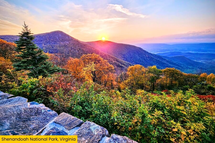
Shenandoah National Park stretches along Virginia’s Blue Ridge Mountains, about 1 hour and 25 minutes from Washington, D.C., protecting nearly 200,000 acres of forest, waterfalls, rocky peaks, and wildlife.
Drive the 105-mile Skyline Drive for 76 overlooks, including Hazel Mountain Overlook and Range View Overlook, where layers of blue-green mountains roll toward the horizon.
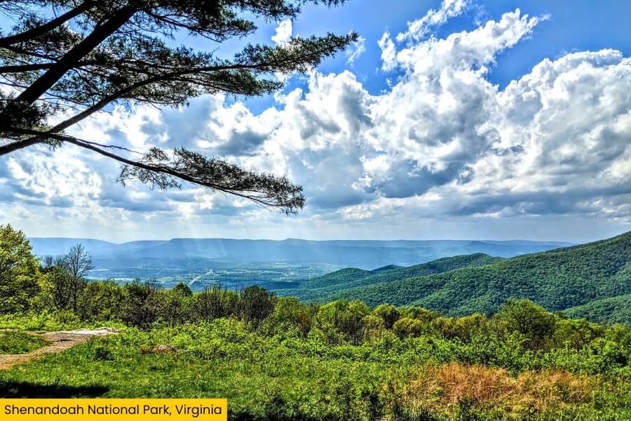
Hikers can tackle more than 500 miles of trails, including the 9.4-mile Old Rag Mountain loop and the 1.4-mile Dark Hollow Falls Trail, which leads to a 70-foot waterfall.
The Appalachian Trail runs for about 101 miles through the park, while 4,051-foot Hawksbill Mountain marks its highest point and gives you sweeping views across the Shenandoah Valley.
2. Seneca Rocks, West Virginia
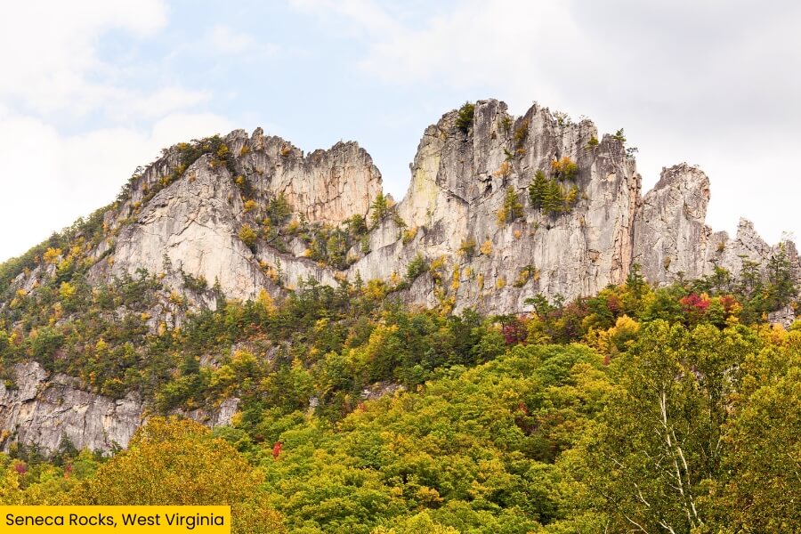
Cross into West Virginia and Seneca Rocks quickly steals the show, with a huge fin of Tuscarora quartzite rising nearly 900 feet above the North Fork River in Monongahela National Forest.
For a closer look, hike the 2.6-mile round-trip Seneca Rocks Trail, which climbs over 700 feet through the forest to an observation platform with wide-open views across the valley.
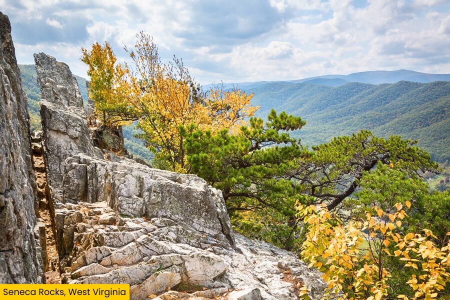
Those dramatic cliffs are also one of the best-known rock-climbing spots in the eastern U.S., with hundreds of climbing routes tracing the steep rock faces.
Before leaving, stop at the Seneca Rocks Discovery Center to learn about the area, then snap a photo from the valley below, where the narrow rock formation looks especially wild against the surrounding mountains.
3. Blackwater Falls State Park, West Virginia
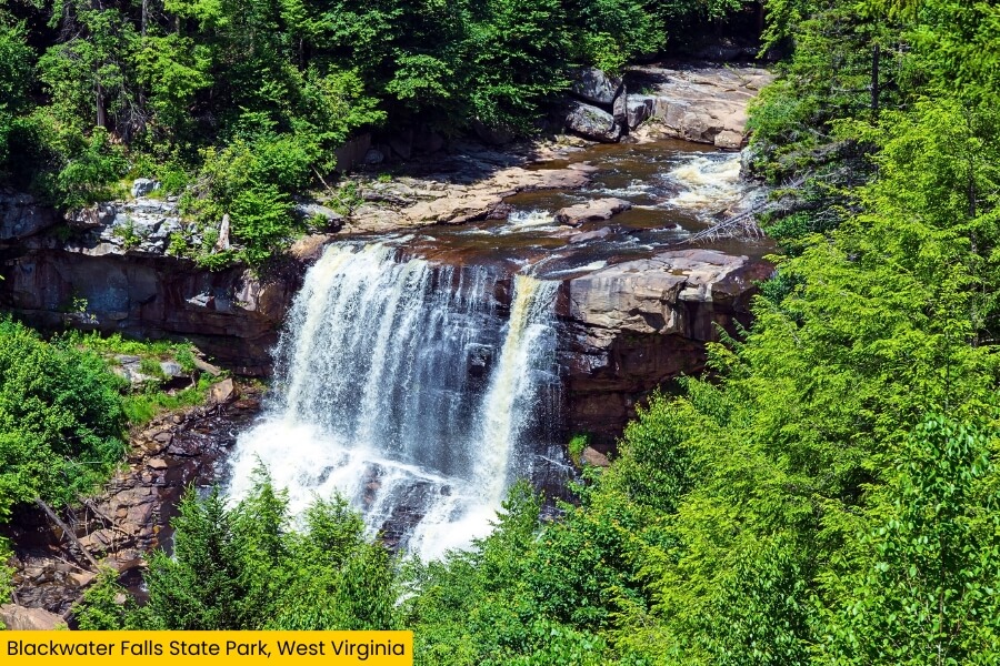
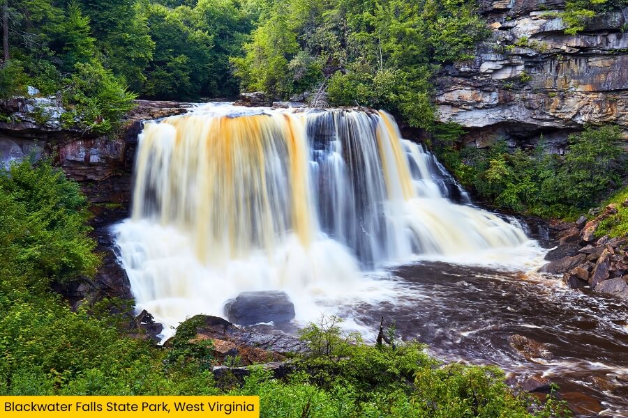
From the sharp cliffs of Seneca Rocks, head about 40 minutes to Blackwater Falls State Park, where the Blackwater River tumbles 57 feet into a tree-lined gorge near Davis, West Virginia.
The waterfall gets its unusual amber color from tannins released by fallen hemlock and red spruce needles.
The main boardwalk leads down more than 200 steps for a front-row look at the falls.
You can also hike the 0.3-mile Lindy Point Trail to a rocky overlook above Blackwater Canyon, which is especially impressive when fall colors cover the steep slopes.
The park offers 20 miles of hiking trails, plus Pendleton Point Overlook, mountain biking, fishing, and winter sledding on one of the longest sled runs on the East Coast.
4. Highland Scenic Highway, West Virginia
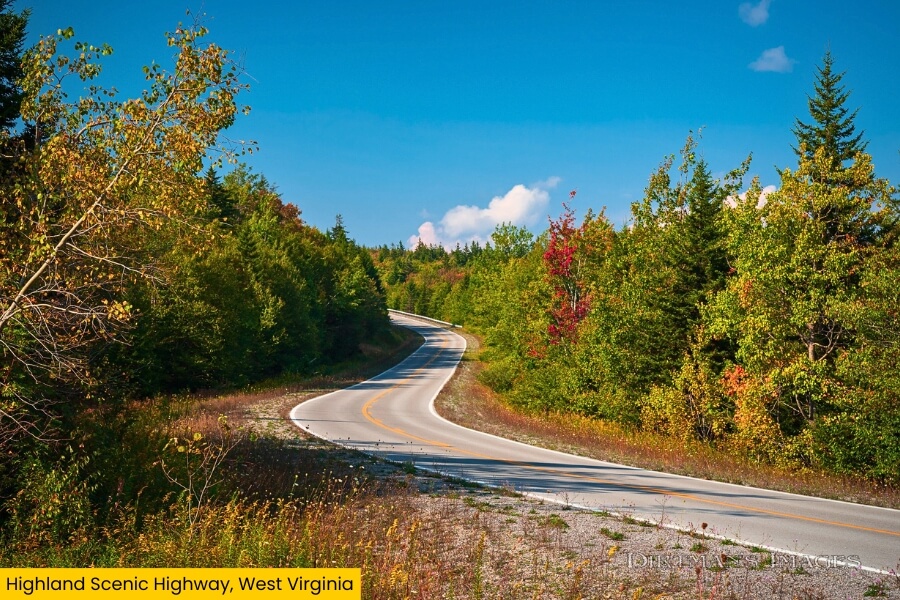
After chasing waterfalls at Blackwater Falls, drive about 2 hours to the Highland Scenic Highway, a 43-mile National Scenic Byway winding through Monongahela National Forest near Richwood and Marlinton.
The route follows West Virginia Routes 39 and 150, climbing above 4,500 feet as it crosses the Allegheny Highlands through red spruce forests and wide mountain clearings.
Pull over at Williams River, Big Spruce, Little Laurel, and Red Lick overlooks, where viewing platforms serve up long-distance mountain views without requiring a serious hike.
For an extra leg stretch, stop near Cranberry Glades Botanical Area, where a half-mile boardwalk loops through unusual bogs filled with sphagnum moss, cranberries, and carnivorous plants more commonly found much farther north.
5. New River Gorge National Park, West Virginia
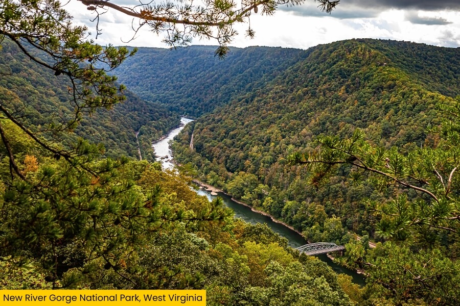
Keep rolling for about an hour from the Highland Scenic Highway and the mountains open into New River Gorge National Park and Preserve, where the New River cuts through a gorge reaching about 1,000 feet deep.
Its showstopper is the 3,030-foot-long New River Gorge Bridge, which carries U.S. Route 19 a whopping 876 feet above the river near Fayetteville.
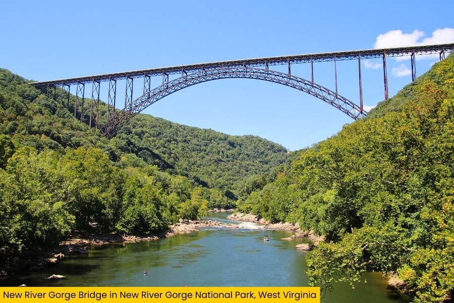
Hit the 3.2-mile Grandview Rim Trail for overlooks above the river’s horseshoe-shaped bends, or tackle the 2.4-mile Endless Wall Trail for cliff-edge views and access to famous climbing areas.
Down below, the New River serves up Class III to Class V whitewater, while more than 1,400 established climbing routes make these sandstone cliffs a major destination for climbers.
6. Abbott Lake, Virginia
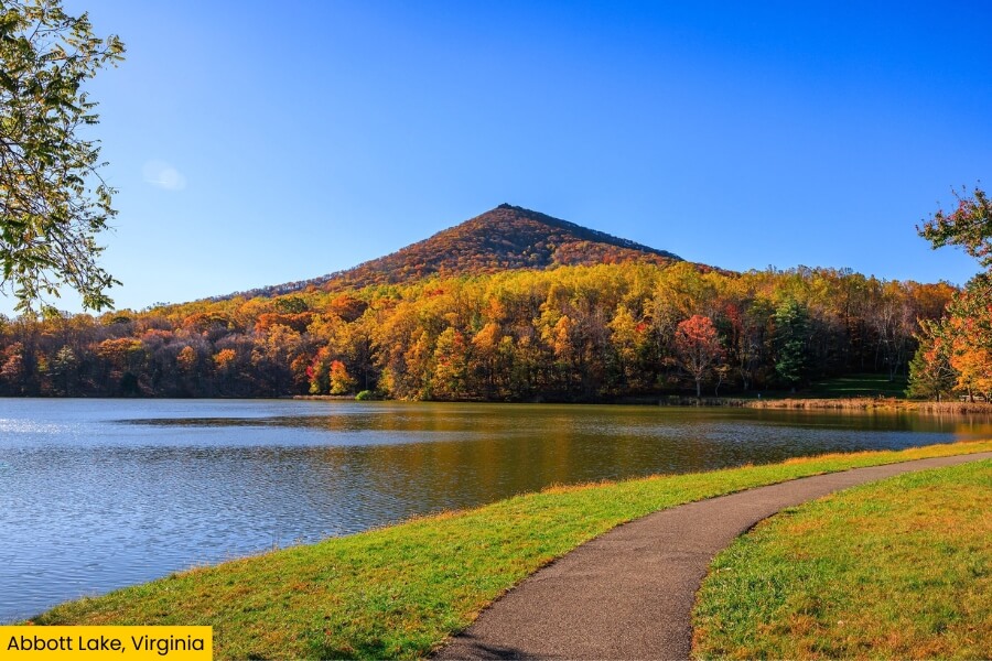
After the towering cliffs of New River Gorge, cross back into Virginia for a much calmer stop at Abbott Lake, a 24-acre lake along the Blue Ridge Parkway near Bedford.
Take the easy 1-mile Abbott Lake Trail around the shoreline, where you’ll pass wooded sections, open water, and postcard-worthy views of 3,875-foot Sharp Top Mountain rising behind the lake.
The lake sits beside the historic Peaks of Otter Lodge, making this an easy place to grab a meal, watch for deer, or try catch-and-release fishing for bass and bluegill.
If you have extra time, tackle the nearby 3-mile round-trip Sharp Top Trail, which climbs roughly 1,300 feet to rocky viewpoints overlooking the Blue Ridge Mountains.
7. Natural Bridge State Park, Virginia
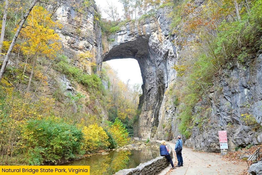
From the quiet shores of Abbott Lake, take a 35 minute drive to Natural Bridge State Park, where Cedar Creek has carved a massive limestone arch about 200 feet high.
A short walk from the visitor center drops you down 137 steps to the bridge, and you can actually watch U.S. Route 11 traffic cross the rock formation high above your head.
Keep going on the roughly 2-mile Cedar Creek Trail to Lace Falls, a 50-foot cascade located at the end of the canyon.
The 1,635-acre park also has several miles of hiking trails, but the giant arch is the star, especially since Thomas Jefferson once owned the Natural Bridge and surrounding land after purchasing it from King George III in 1774.
8. Humpback Rocks, Virginia
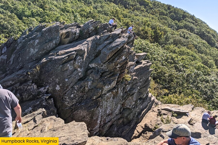
Finish the loop at Humpback Rocks, located near Milepost 6 on the Blue Ridge Parkway, where one last steep climb delivers a seriously memorable mountain finale.
The popular Humpback Rocks Trail runs about 2 miles round-trip and gains roughly 800 feet, packing stone steps and plenty of uphill work into a short hike.
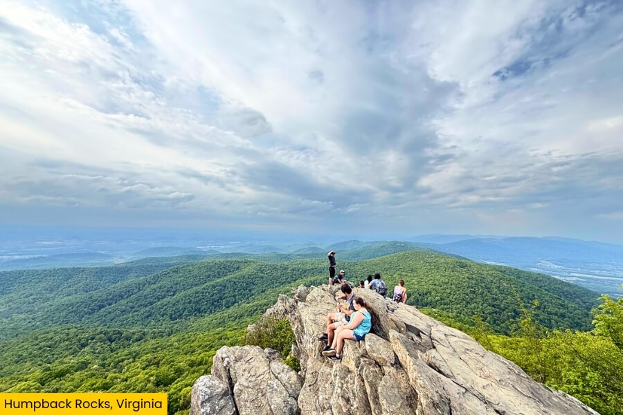
At the top, scramble onto the exposed rock outcrop for sweeping views across Virginia’s Shenandoah Valley and the surrounding Blue Ridge Mountains from around 3,000 feet above sea level.
Back near the visitor center, explore the reconstructed 1890s mountain farm, where historic log buildings show how families once lived and worked in these mountains, making this final stop more than just another pretty viewpoint.
Related Posts