
Driving from Virginia to California takes you through an incredible variety of landscapes, with the scenery transforming almost constantly along the way.
Over roughly 2,800 miles, you can go from the Atlantic Coast to mountain towns, enormous caves, colorful canyons, desert highways, old Route 66 stretches, and finally the Pacific Coast.
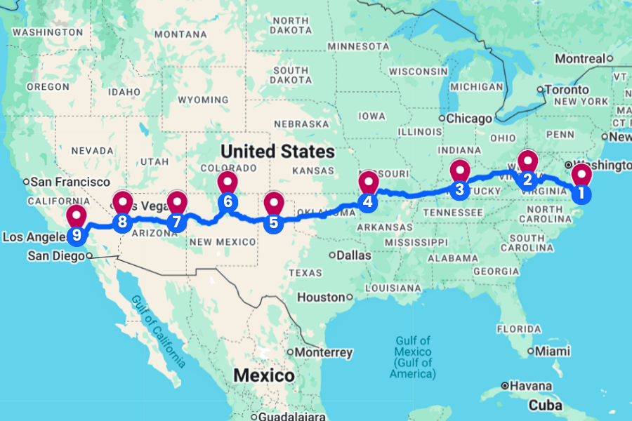
Along the way, you’ll cross several states, watch green forests turn into wide-open plains and red rock country, and find plenty of unexpected places worth pulling over for.
This itinerary breaks the journey into exciting stops with hiking trails, historic landmarks, natural wonders, scenic drives, and fun roadside surprises mixed in.
If you’ve ever wanted to drive across the United States and actually enjoy the journey instead of racing to the finish line, this route gives you everything you need.
1. Virginia Beach, Virginia
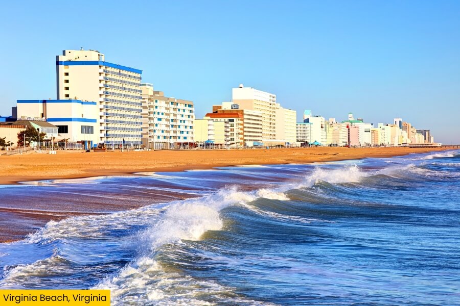
Virginia Beach sits where the Chesapeake Bay meets the Atlantic Ocean in southeastern Virginia, making it a perfect starting point for your cross-country drive to California.
Start at the Virginia Beach Oceanfront, where a 3-mile concrete boardwalk runs beside a wide sandy beach and passes the 34-foot-tall King Neptune statue at 31st Street.
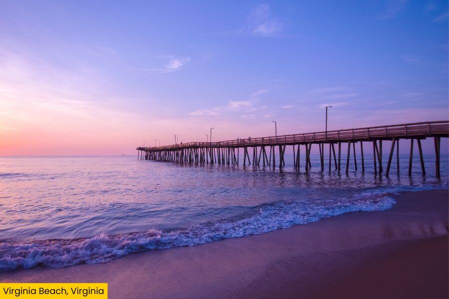
You can hike the Bald Cypress Trail at First Landing State Park, climb the 191 steps inside the historic Cape Henry Lighthouse, or spot sharks and sea turtles at the Virginia Aquarium & Marine Science Center.
Fun fact: Virginia Beach holds the Guinness World Records title for the world’s longest pleasure beach, with over 35 miles of sandy shoreline ready for swimming, surfing, fishing, and sunrise walks.
2. Lewisburg, West Virginia
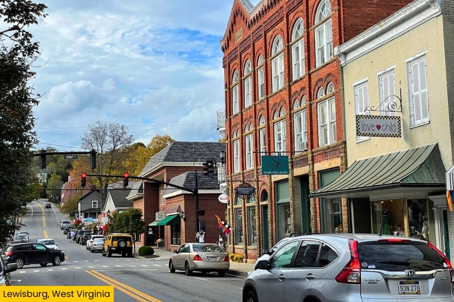
After leaving Virginia’s Atlantic coast behind, drive for about 5 hours to Lewisburg, a small mountain town in West Virginia’s Greenbrier Valley with a downtown packed with historic buildings, local shops, and restaurants.
Walk along Washington Street to see landmarks like the 1837 Greenbrier County Courthouse and Carnegie Hall, a performing arts center built in 1902 that is one of only four Carnegie Halls still in continuous use worldwide.
Just outside town, Lost World Caverns takes you 120 feet underground past huge stalactites, flowstone formations, and the 30-ton Snowy Chandelier.
You’re also only 15 minutes away from The Greenbrier in White Sulphur Springs, where you can tour a once-secret Cold War bunker built to shelter members of Congress during a nuclear attack.
3. Mammoth Cave National Park, Kentucky
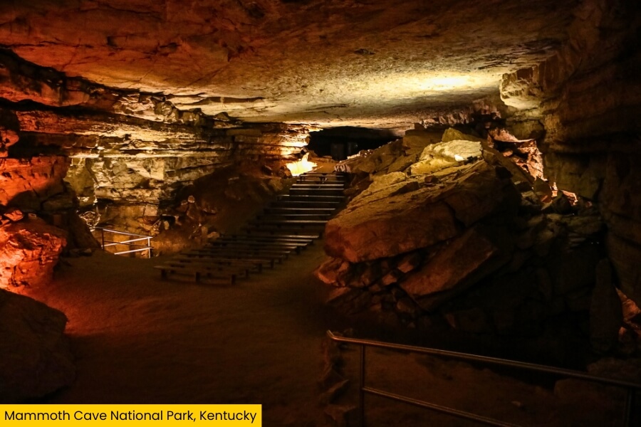
From Lewisburg, keep rolling into Kentucky, where Mammoth Cave National Park protects the world’s longest known cave system, with more than 426 miles of mapped underground passages.
Book the 2-hour Historic Tour to travel about 2 miles through huge chambers and tight spots like Fat Man’s Misery, or choose the easier 0.25-mile Frozen Niagara Tour to see flowstone and dripstone formations.
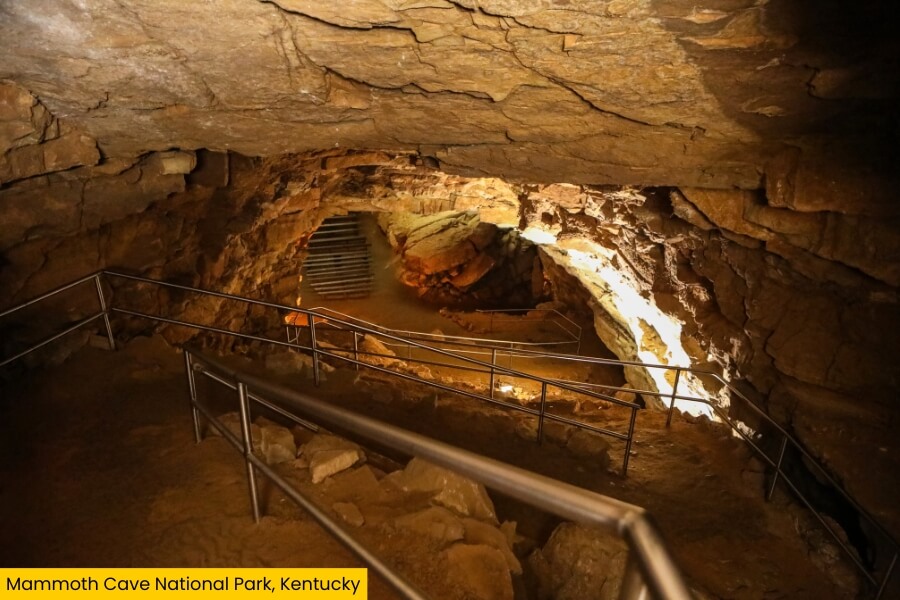
Above ground, stretch your legs on the 2-mile Cedar Sink Trail, which descends steeply into a massive sinkhole where an underground river briefly appears.
Mammoth Cave became a national park in 1941 and a UNESCO World Heritage Site in 1981, so this road-trip stop packs geology, wildlife, and thousands of years of human history into one seriously unusual Kentucky detour.
4. Eureka Springs, Arkansas
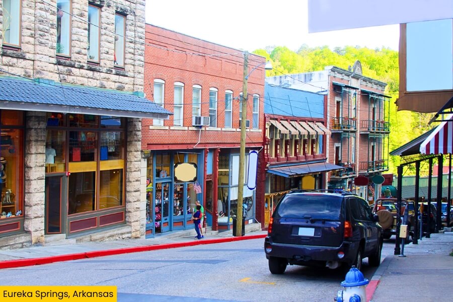
Once you’re back above ground, it’s a 9 hour drive to Eureka Springs, an Arkansas Ozarks town famous for steep streets, natural springs, and a remarkably well-preserved Victorian-era historic district.
Downtown is built across hillsides with winding roads and stairways, so explore on foot to find Basin Spring Park, the 1886 Crescent Hotel, and unique shops along Spring Street.
For something completely different, head to Thorncrown Chapel, a 48-foot-tall glass-and-wood chapel with 425 windows that stands among the trees just outside downtown.
You can also visit the 67-foot-tall Christ of the Ozarks statue or take a short drive to Beaver Lake, a sprawling reservoir spanning over 28,000 acres where you can swim, kayak or fish.
5. Palo Duro Canyon State Park, Texas
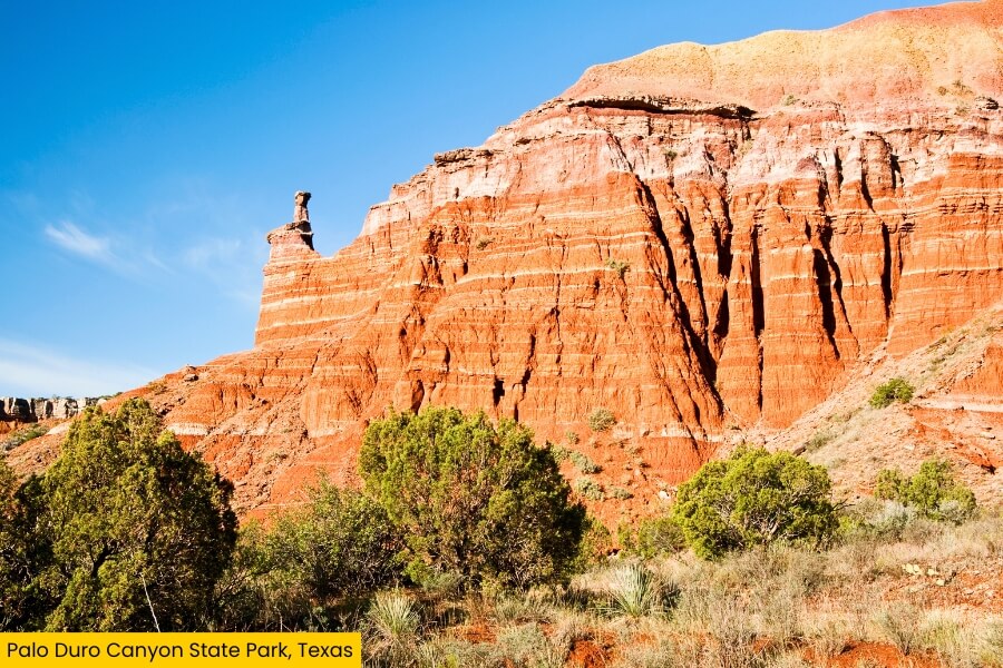
Trade the winding streets of Eureka Springs for wide-open Texas scenery at Palo Duro Canyon State Park, about 30 minutes from Amarillo in the Texas Panhandle.
Known as the “Grand Canyon of Texas,” Palo Duro stretches roughly 120 miles long, reaches up to 20 miles wide, and drops around 800 feet through colorful layers of red, orange, and white rock.
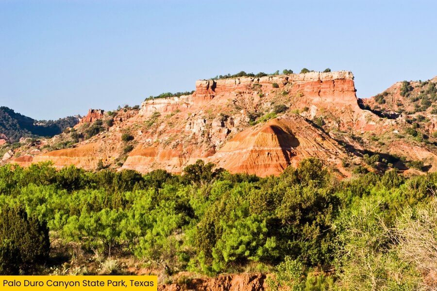
Hit the 5.6-mile Lighthouse Trail for a close look at the park’s famous Lighthouse rock formation, but bring plenty of water because summer temperatures can climb above 100°F.
You can also drive the park road down to the canyon floor, stop at scenic overlooks, watch for wild turkeys and mule deer, or stay overnight at one of several campgrounds.
6. Taos, New Mexico
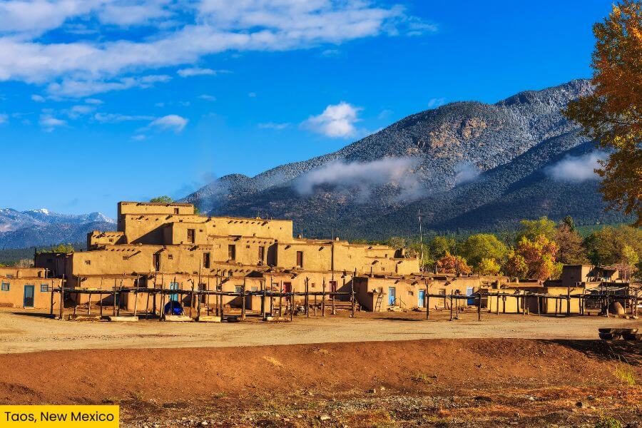
After the huge canyon views of Palo Duro, continue west for about 5.5 hours to Taos, New Mexico, a high-desert town sitting about 6,967 feet above sea level beneath the Sangre de Cristo Mountains.
Your big stop is Taos Pueblo, a UNESCO World Heritage Site where multistory adobe buildings have been continuously inhabited for more than 1,000 years by the Red Willow People.
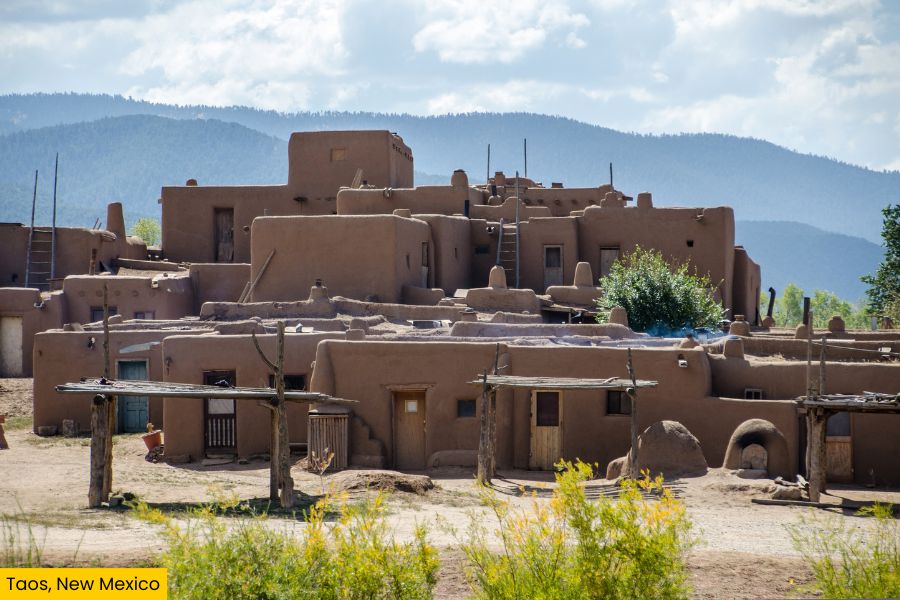
Then browse galleries around Taos Plaza or drive 20 minutes to the Rio Grande Gorge Bridge, which carries you 650 feet above the river.
For mountain time, head 30 minutes to Taos Ski Valley, where trails climb into the surrounding peaks and Wheeler Peak, New Mexico’s highest point at 13,161 feet, rises nearby.
7. Petrified Forest National Park, Arizona
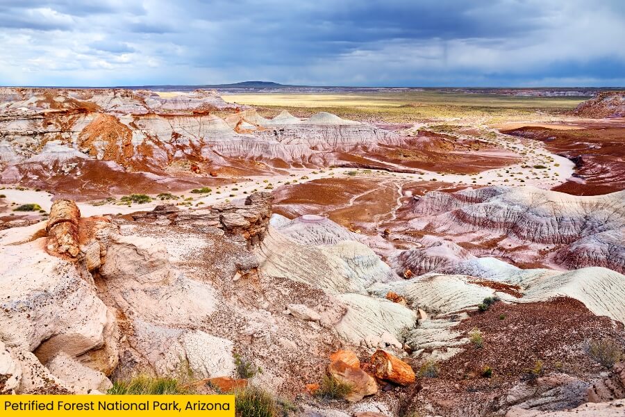
Leaving Taos behind, continue for about 5 hours to northeastern Arizona, where Petrified Forest National Park serves up colorful badlands, ancient petroglyphs, and one of the world’s largest concentrations of petrified wood.
Drive the 28-mile park road between Interstate 40 and Highway 180, stopping at Painted Desert overlooks where layers of red, pink, orange, and gray rock stretch across the horizon.
For a closer look, walk the 1-mile Blue Mesa Trail through striped hills, then tackle the Long Logs and Agate House loop past huge fossilized logs and a reconstructed Puebloan structure.
Some of the park’s petrified trees date back more than 200 million years, and you can also see over 650 petroglyphs etched into rocks at Newspaper Rock.
8. Oatman, Arizona
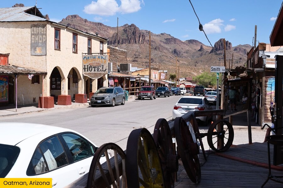
Keep following the road west for about 4.5 hours to Oatman, a former gold-mining town on historic Route 66 in the Black Mountains, about 50 minutes from Kingman.
Oatman boomed after a gold strike in 1915, and today its wooden storefronts, old saloons, and weathered mining buildings turn a simple fuel stop into a walk through Arizona’s mining days.
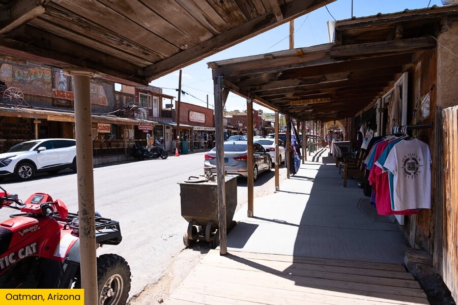
The town’s biggest characters are the free-roaming burros, descendants of donkeys once used by miners, which regularly wander along Main Street looking for snacks and attention.
Before heading toward California, drive the twisting Route 66 section over Sitgreaves Pass, where tight switchbacks and mountain overlooks make this one of the most memorable stretches of the entire road trip.
9. Los Angeles, California

Cross into California and finish your coast-to-coast adventure in Los Angeles, a sprawling Pacific city famous for movies, beaches, museums, and neighborhoods packed with things to see.
Start in Hollywood with the 1.3-mile Walk of Fame, then hike the 6-mile Brush Canyon Trail for a closer view of the Hollywood Sign.

For classic LA sunshine, head to Santa Monica Pier, ride the solar-powered Pacific Wheel, and walk south along the beach toward colorful Venice Beach.
Save time for Griffith Observatory, where free exhibits cover space and astronomy, and the terraces deliver sweeping views across the city, especially when downtown LA starts lighting up after sunset.
Related Posts