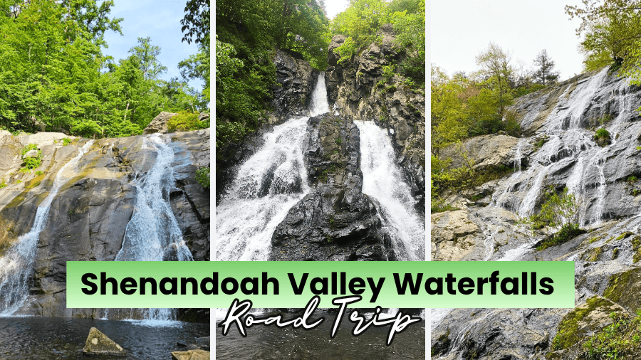
If chasing waterfalls sounds like your kind of road trip, Virginia’s Shenandoah Valley has one seriously fun adventure waiting for you.
This route takes you past thundering drops, long stair-step cascades, rocky creek trails, mountain overlooks, and waterfalls that plunge nearly 100 feet in a single drop.
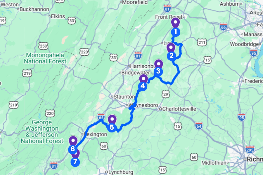
Some stops require a steep hike through the forest, while others let you reach the action with a much easier walk, so you can mix big adventures with slower days.
Grab your hiking shoes, pack extra water, and keep reading because this Shenandoah Valley waterfalls road trip links together some of Virginia’s most impressive cascades.
1. Overall Run Falls
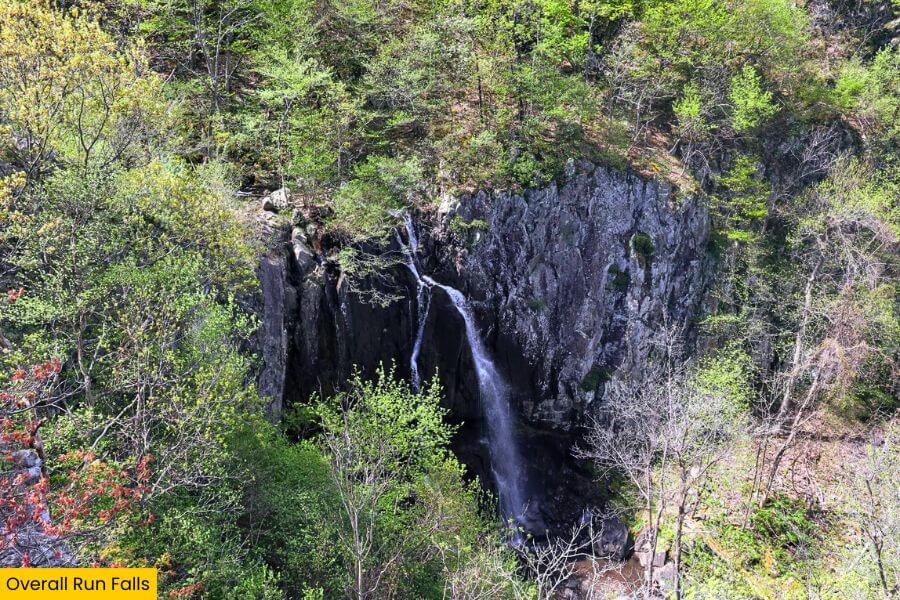
Overall Run Falls is a 93-foot waterfall in Shenandoah National Park’s North District, making it the tallest waterfall in the park and a fantastic stop on your Shenandoah Valley road trip.
You can reach it from the Mathews Arm area near mile 22.2 on Skyline Drive, with the popular Overall Run Falls hike covering about 5.1 miles round trip and about 1,291 feet of elevation gain.
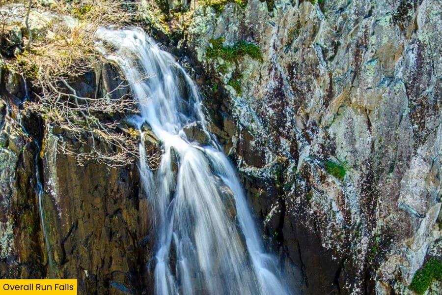
The trail drops through a wooded section of the park to a rocky viewpoint where Overall Run plunges dramatically over a tall cliff, with wide views stretching toward Massanutten Mountain and the Shenandoah Valley.
Spring and periods after heavy rain bring the strongest flow, while summer can leave the falls much thinner, so time your hike carefully if you want the biggest waterfall show.
2. Whiteoak Canyon Falls
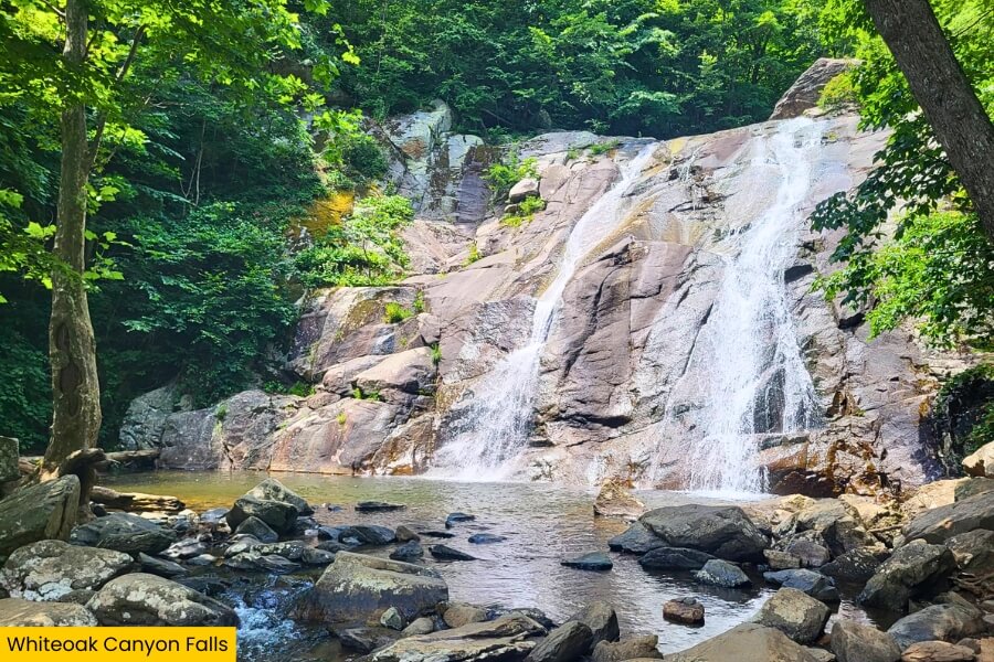
Next up, Whiteoak Canyon turns one waterfall stop into a full-on cascade adventure, with six falls tumbling through Shenandoah National Park near mile 42.6 of Skyline Drive.
Upper Whiteoak Falls is the biggest drop at 86 feet, while the other cascades range from about 35 to 62 feet, giving you something new to see around nearly every bend.
For a shorter outing, hike roughly 4.6 miles round trip from the Whiteoak Canyon parking area to the Upper Falls, or tackle the challenging 8.1-mile Whiteoak Circuit and Cedar Run loop with nearly 2,800 feet of elevation gain.
You’ll follow rushing Whiteoak Run past rocky ledges, forest pools, and steep cascades, and spring usually delivers the strongest water flow and coolest waterfall views.
3. South River Falls
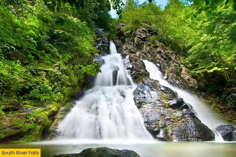
After Whiteoak Canyon’s waterfall-packed hike, South River Falls offers a more focused adventure near mile 62.7 on Skyline Drive in Shenandoah National Park’s Central District.
The 83-foot waterfall pours over a tall rock face surrounded by hardwood forest, and the main overlook gives you a clear look at the entire drop from across the gorge.
The South River Falls Trail runs about 2.6 miles round trip with roughly 850 feet of elevation gain, including a steep return climb that will definitely get your legs working.
For an even better look, continue on the rocky trail below the overlook toward the waterfall’s base, where you can hear the rushing water up close, especially during spring or after several days of rain.
4. Doyles River Falls
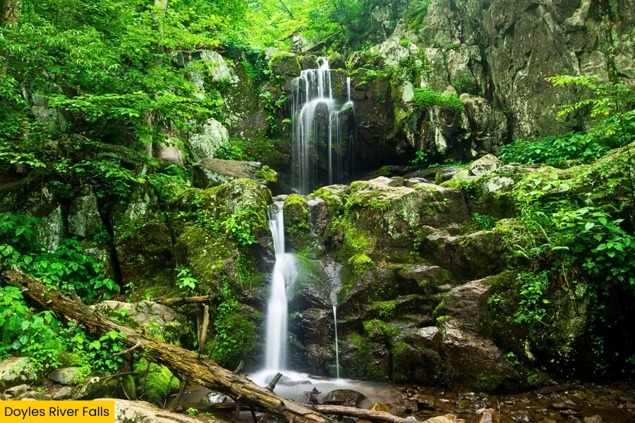
About 35 minutes from South River Falls, Doyles River Falls delivers two waterfalls on one forested hike in Shenandoah National Park’s South District.
The trail follows Doyles River downhill to the 28-foot Upper Doyles River Falls before continuing to the larger 63-foot Lower Doyles River Falls, which tumbles over a broad rock ledge.
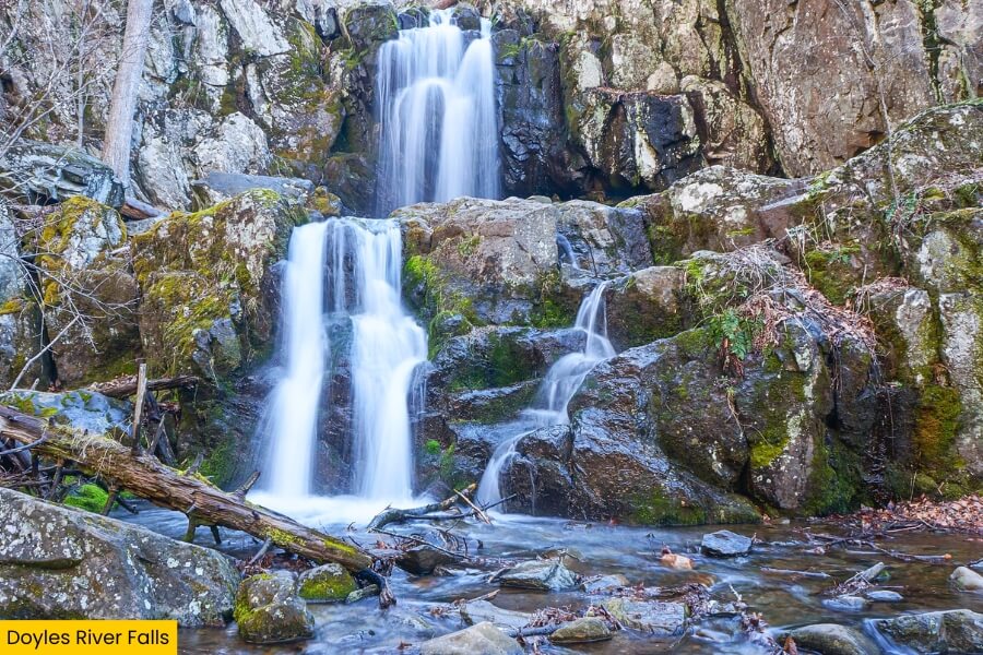
Reaching both falls from the Doyles River parking area takes about 3.3 miles round trip with nearly 1,200 feet of elevation gain, most of it waiting for you on the climb back.
Visit during spring or after steady rain for stronger cascades, and watch for slick rocks as you explore the wooded creek, small pools, and rocky viewpoints along the route.
5. Crabtree Falls
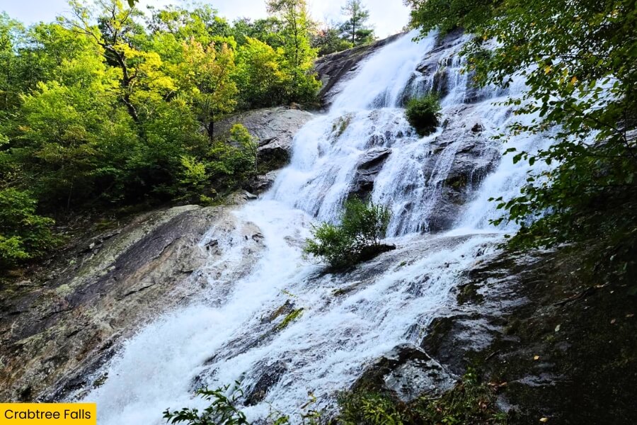
Leaving Shenandoah National Park behind, drive about 1.5 hours to Crabtree Falls near Montebello, where a series of cascades drops a combined 1,200 feet through George Washington National Forest.
Crabtree Creek spills over five major cascades, including one drop of roughly 500 feet, earning this spot a reputation as one of the tallest cascading waterfall systems east of the Mississippi River.
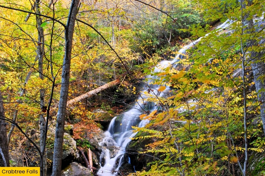
A 3-mile trail climbs beside the falls, with wooden stairs, switchbacks, and several overlooks giving you different views as you work your way uphill.
The first overlook is only a few hundred feet from the parking area, but keep going for the full experience, and stay behind the railings because the wet rocks beside these powerful falls are extremely slippery.
6. Lace Falls
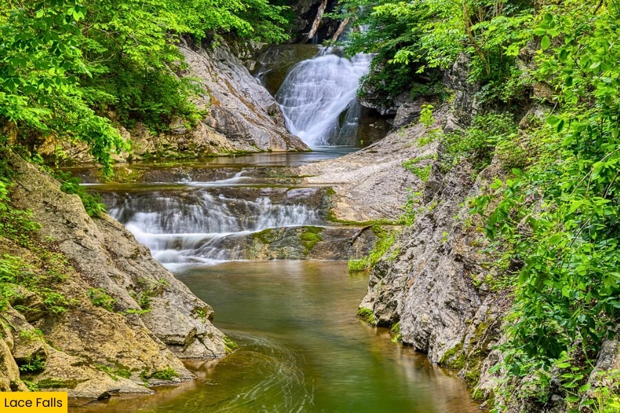
From Crabtree Falls, head to Natural Bridge State Park, where Lace Falls adds a quieter waterfall stop just beyond one of Virginia’s most famous natural landmarks.
The 50-foot waterfall sits at the end of the Cedar Creek Trail, a roughly 2-mile round-trip walk that begins near the massive 215-foot-tall Natural Bridge and follows Cedar Creek through a wooded limestone gorge.
Along the way, you’ll pass the Monacan Indian Village area, Saltpeter Cave, and the Lost River before reaching Lace Falls, where water fans down a layered rock wall.
The easy creekside route makes this a nice break from the steeper waterfall hikes, and after rain, Lace Falls spreads into thin lace-like streams that explain its name.
7. Apple Orchard Falls
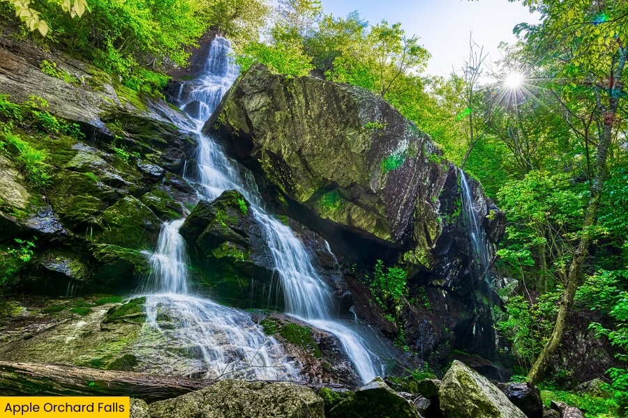
After the easy walk to Lace Falls, Apple Orchard Falls turns the adventure level back up with a 200-foot cascade near the Blue Ridge Parkway in Jefferson National Forest.
The most popular route starts at the Sunset Field Overlook around milepost 78.4 and follows the Apple Orchard Falls Trail for about 1.2 miles one way.
You’ll hike beside North Creek, cross several bridges, and climb steep wooden stairs before reaching a viewing platform below the long, stair-stepped waterfall.
For extra miles, connect with the Cornelius Creek Trail to make a roughly 7.5-mile loop through hardwood forest, and aim for spring or after good rainfall when water pours across the broad rock face.
Related Posts