
Imagine walking along an old railroad route when the ground suddenly drops away, and you find yourself 125 feet above a river.
That’s exactly what happens on this incredible Virginia trail, where a former railroad bridge carries you high above a forest-covered valley.
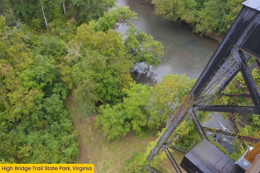
You can walk straight across it, peer down at the river far below, and stop for huge views over miles of trees.
And with plenty of miles of trail, fascinating history, and major Civil War ties, there’s much more waiting beyond the bridge, so keep reading to see what makes this trail worth the trip.
Where Is It?
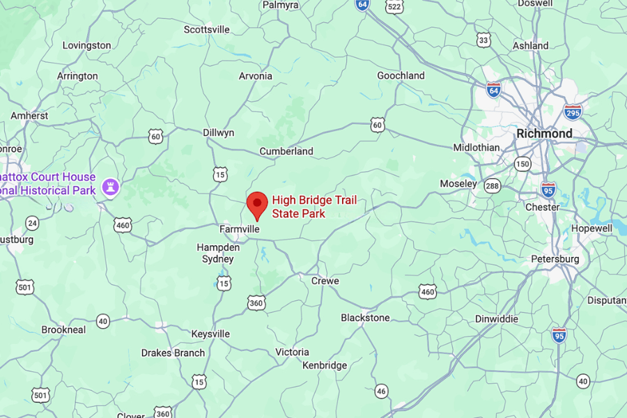
About a 10-minute drive from downtown Farmville, High Bridge Trail State Park stretches through Southside Virginia and is best known for its famous High Bridge.
If you’re coming from farther away, Farmville is roughly 1 hour from Lynchburg, 70 minutes from Richmond, and 3 hours from the Washington, D.C. area.
About
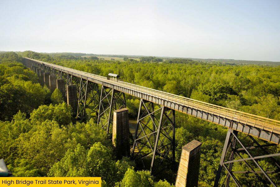
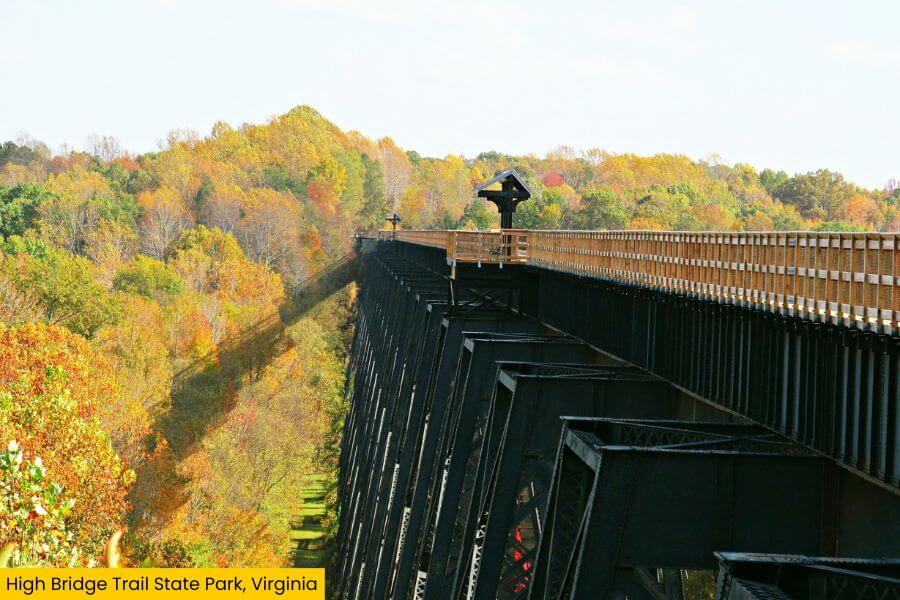
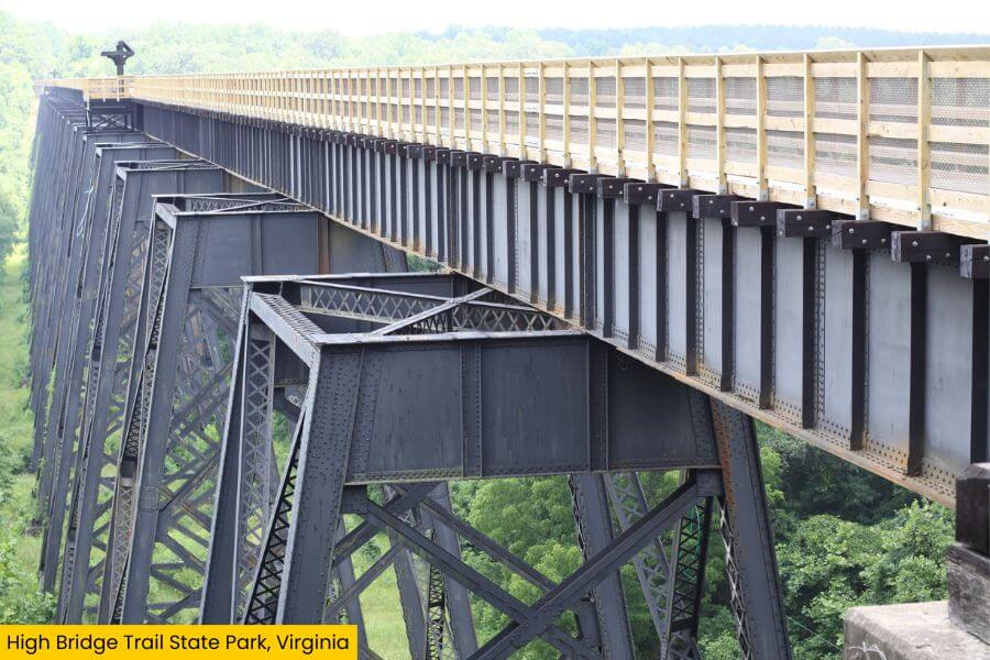
High Bridge is easily one of the state park’s most impressive sights, a massive former railroad bridge that rises high above the Appomattox River.
It stretches 2,400 feet across the river valley and stands about 125 feet above the water, making it one of the longest recreational bridges in the country.
Beyond its impressive size, the bridge has a long history, first opening in 1854 as part of the South Side Railroad connecting Petersburg and Lynchburg.
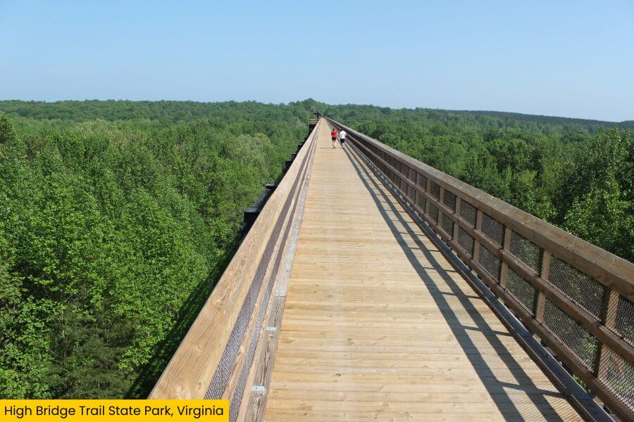
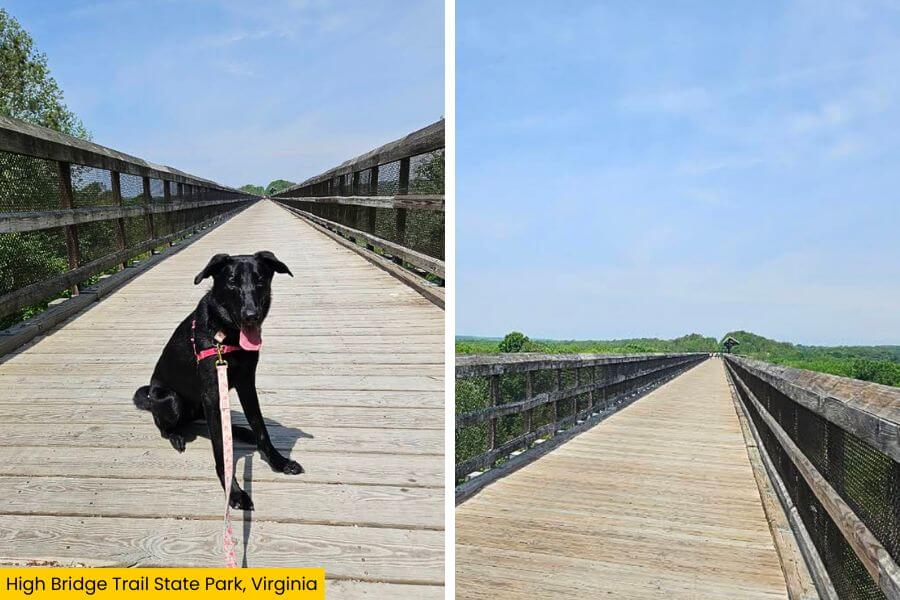
Today, you can walk, bike, or ride a horse across, stopping at overlooks along the way for postcard-perfect views of the river, forests, and farmland below.
You can also look down between the bridge railings and get a much better sense of just how high 125 feet really is.
Once you’ve taken in the scenery from High Bridge, you can keep exploring since it’s only one section of the much longer High Bridge Trail.
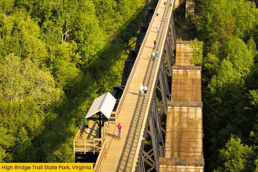
The full trail stretches 32.2 miles through Southside Virginia, following a former railroad corridor from Pamplin to just outside Burkeville.
Along the way, you’ll pass through Farmville, small communities, wooded areas, and farmland, including places tied to the final days of the Civil War.
And because this was once a railroad route, the trail is mostly flat with gentle grades.
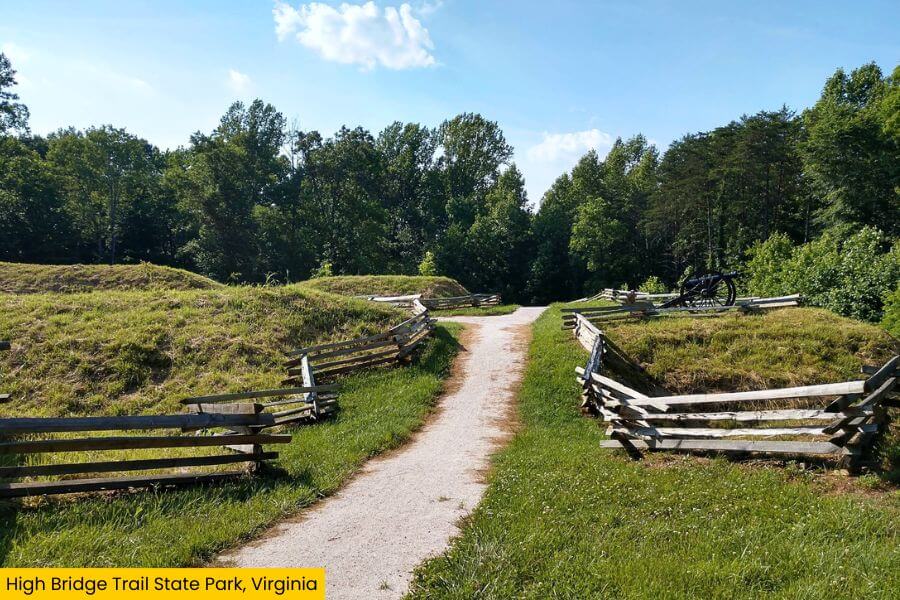
The surface is primarily finely crushed limestone, so you won’t be scrambling over rocks, climbing steep hills, or dealing with technical terrain.
Even with so much ground to cover, you don’t need to tackle all 32.2 miles to experience High Bridge.
For a shorter trip, start at the River Road parking area, where it’s roughly a 1-mile walk along the trail.
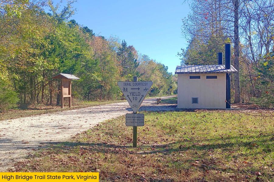
You can also start at Main Street Plaza in downtown Farmville for a much longer outing, following the trail for roughly 4.5 miles.
Keep an eye out for the old railroad infrastructure along the route, including mile markers and other reminders that trains once traveled through this part of Virginia.
You’ll also come across reminders of the area’s Civil War history, including interpretive signs and a cannon display.
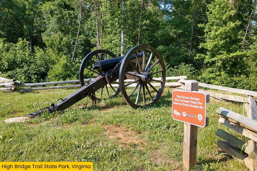
The story behind them goes back to April 1865, when Union and Confederate forces fought around the bridge as Confederate troops retreated toward Appomattox Court House.
As they retreated, they tried to burn the crossing behind them, but Union troops arrived in time to prevent its destruction.
The combination of railroad history, Civil War sites, easy walking, and that enormous bridge makes High Bridge Trail State Park much more than your average rail trail.
Know Before You Go
Best Time to Visit
High Bridge Trail State Park is open daily from dawn to dusk, and spring and fall are two of the best times to visit.
April and May bring comfortable walking temperatures and fresh green leaves, while October usually adds colorful fall foliage to those huge views from High Bridge.
Summer works too, but Virginia can get hot and humid, so an early morning walk is a smart move.
Winter brings bare trees and fewer crowds, plus clearer views through the forest surrounding the bridge.
Admission and Parking
There is no general admission fee to enter the park, but parking fees apply at Virginia State Parks parking areas.
Parking rates can change, so check the official Virginia State Parks website before your trip for the current fee.
What to Bring
- Wear comfortable walking shoes, but you can leave the heavy-duty hiking boots at home.
- Bring water, sunscreen, and a hat during warmer months because some sections are exposed to direct sun.
- Bikes are a great way to cover more of the 32.2-mile trail, while horseback riding is allowed on designated sections.
- Dogs can join you on the trail, but they must be kept on a leash no longer than 6 feet.
Things to Do Nearby
After exploring High Bridge, you can visit several nearby attractions, from downtown spots to places filled with more Civil War history.
Start with downtown Farmville, about 10 minutes away, where you can explore Main Street, grab something to eat, or visit the Longwood Center for the Visual Arts.
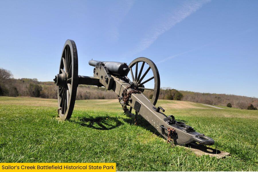
You can also visit Sailor’s Creek Battlefield Historical State Park, just 20 minutes away, to explore the battlefield and learn about one of the Civil War’s final major battles.
For something farther out, drive 40 minutes to Appomattox Court House National Historical Park to visit the historic village and site of Robert E. Lee’s 1865 surrender.
Related Posts