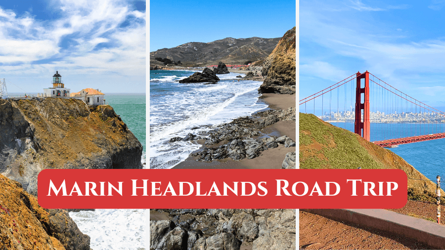
Just across the Golden Gate Bridge, the Marin Headlands delivers one of Northern California’s best scenic drives, with ocean views, historic sites, hiking trails, hidden beaches, and standout viewpoints.
You’ll follow winding roads to coastal cliffs, former military sites, quiet shoreline stops, and plenty of photo-worthy overlooks.
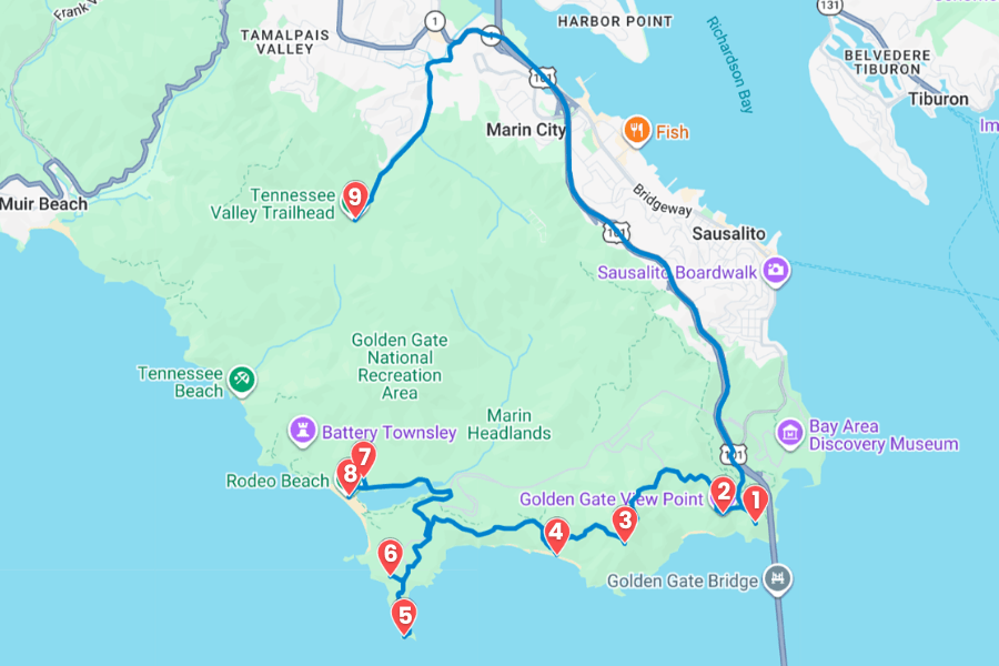
Whether you’re planning a day trip from San Francisco or a full coastal adventure, this Marin Headlands itinerary will help you make the most of every stop.
1. Battery Spencer
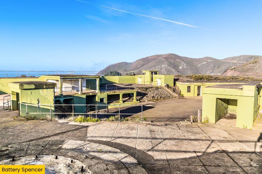
Battery Spencer sits on the southern tip of the Marin Headlands, about 5 minutes from the Golden Gate Bridge Welcome Center by road, and it gives you one of the closest, highest viewpoints of San Francisco’s famous orange towers.
Completed in 1897 as a coastal artillery battery, this former military battery once held 12-inch rifles mounted on barbette carriages designed to protect San Francisco Bay.
Today you can still walk around the concrete gun emplacements while spotting platforms and historic structures.
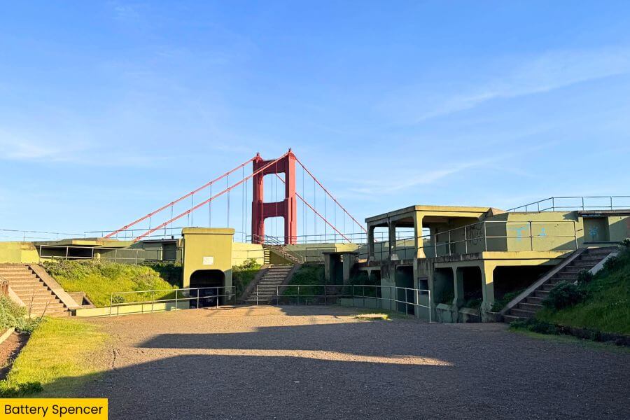
The main reason to stop is the incredible panorama stretching across the Golden Gate Bridge, Alcatraz Island, the San Francisco skyline, Angel Island, and the sparkling bay.
Bring a jacket because strong winds are common, keep your camera ready for passing cargo ships and low rolling fog, and watch for hawks soaring overhead while enjoying one of the most unforgettable overlooks anywhere along Conzelman Road.
2. Golden Gate View Point
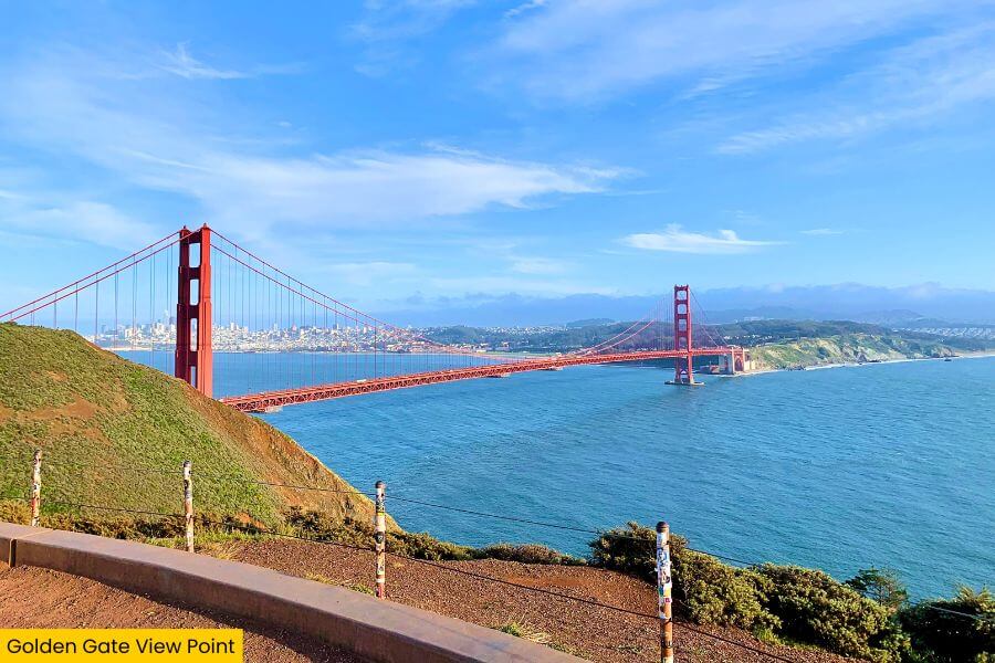
Right after Battery Spencer, the Golden Gate View Point gives you another fantastic excuse to pull over, with a wider perspective that shows the full sweep of the Golden Gate Bridge stretching across the entrance to San Francisco Bay.
From the viewing area along Conzelman Road, you can spot Fort Point beneath the bridge, Alcatraz Island, the downtown skyline, and on clear days even the East Bay hills.
And all of this is from one easy roadside stop with no long hike required.
Photographers love this overlook because the bridge lines up beautifully with the city behind it, while changing fog, colorful sunsets, and morning light create completely different scenes throughout the day and every season.
Take a few minutes to soak it all in, keep an eye out for cyclists climbing the winding road, and if you’re lucky, you might even catch a container ship or sailboat passing beneath one of the world’s most recognizable bridges.
3. Hawk Hill
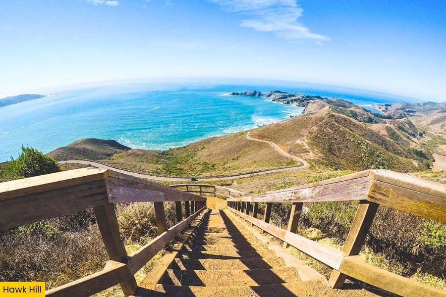
Keep following Conzelman Road uphill and you’ll reach Hawk Hill, the highest point along this stretch at about 923 feet.
Here you’ll see sweeping views stretch across the Pacific Ocean, the Golden Gate Bridge, San Francisco, and the cliffs of the Marin Headlands.
Hawk Hill is one of North America’s best places to watch migrating raptors.
Thousands of red-tailed hawks, sharp-shinned hawks, Cooper’s hawks, and turkey vultures pass through every fall from mid-August to late November, with migration peaking in September and October.
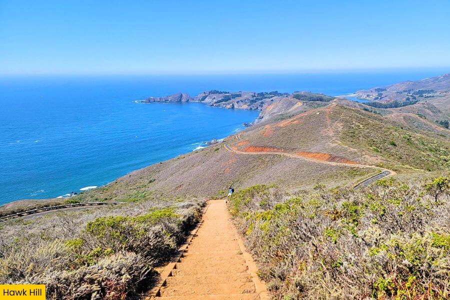
Several short walking paths lead to old military bunkers, rocky overlooks, and quiet spots where you can watch birds soaring on rising air currents while photographers capture dramatic coastal scenery from nearly every direction.
Bring binoculars if you have them, dress for cool ocean winds, and spend a little extra time here because changing fog, circling hawks, and constantly shifting light make every visit feel completely different from the last.
4. Black Sands Beach
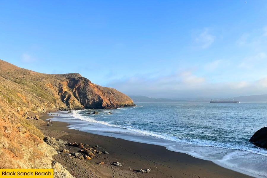
After taking in the views from above, head down toward Black Sands Beach, a quiet stretch of shoreline tucked below the Marin Headlands where dark sand, polished pebbles, and steep coastal cliffs create one of the area’s most dramatic landscapes.
You can reach the beach by hiking the roughly 0.3-mile one-way Upper Fisherman’s Trail, a steep route with several hundred feet of elevation change that rewards you with crashing waves and a peaceful setting far from the busy overlooks.
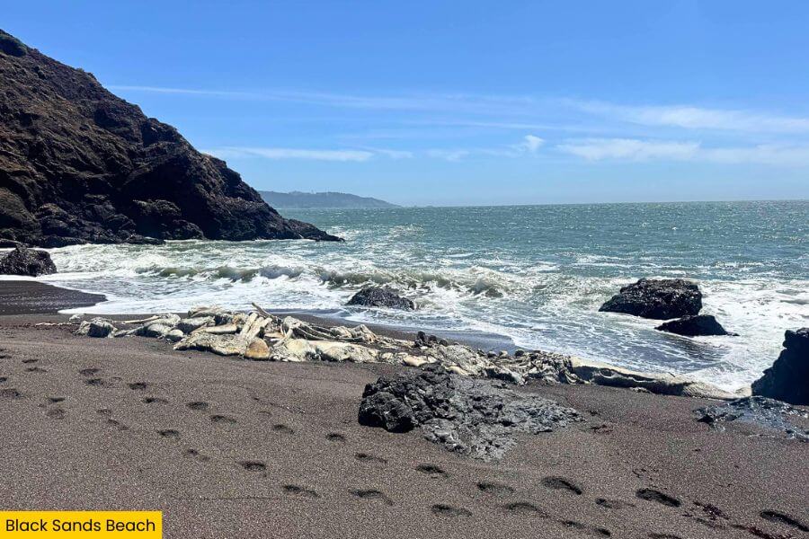
The beach gets its dark color from tiny mineral particles mixed with the sand rather than volcanic lava, giving it a striking appearance that stands out from the golden beaches found elsewhere around the bay.
Check the tide before you go because high water can leave very little beach to explore.
Keep an eye on the ocean too, because strong currents and powerful surf make this spot better for sightseeing, photography, and beachcombing rather than swimming.
5. Point Bonita Lighthouse
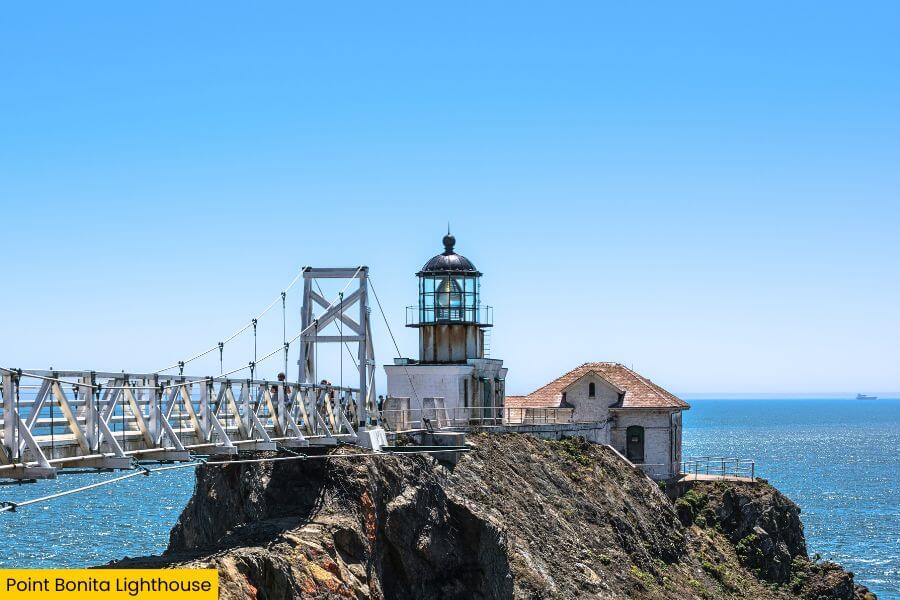
From Black Sands Beach, continue toward Point Bonita Lighthouse, one of the few lighthouses in the United States still operating today, perched on a rocky point where the Pacific Ocean meets the entrance to San Francisco Bay.
Getting there is part of the adventure because you’ll follow a 0.5-mile round trip paved trail, pass through a hand carved tunnel completed in 1877, and cross a suspension bridge that sways gently above crashing waves.
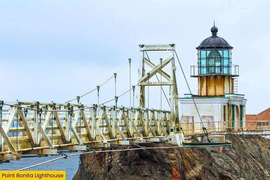
The original lighthouse opened in 1855 at the top of the cliff before it was relocated in 1877 to a lower elevation where fog was less likely to block its light from passing ships.
Plan your visit around the limited opening hours, watch for harbor seals, seabirds, and even migrating whales during the right season, and enjoy one of the most unforgettable coastal walks anywhere in the Marin Headlands.
6. Battery Mendell
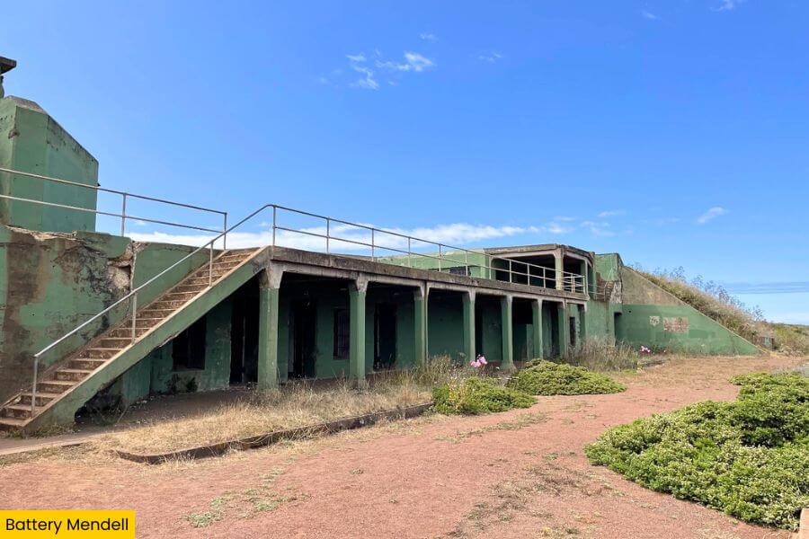
As you make your way back through the Marin Headlands, stop at Battery Mendell, a historic coastal fortification located near Rodeo Beach that once helped defend the entrance to San Francisco Bay during the Endicott Era of the late 1800s.
Built in 1902, the battery originally housed two massive 12-inch disappearing guns, with clever mechanisms that lifted the cannons into firing position before lowering them behind thick concrete walls for protection after each shot.
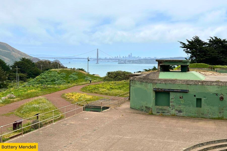
Today you can wander through the concrete corridors, gun pits, and observation areas while imagining what life was like for the soldiers stationed here more than a century ago, all surrounded by rolling hills and coastal scenery.
The site is usually much quieter than the famous overlooks nearby, making it a great place to slow down, explore the preserved military structures up close, and add another fascinating piece of Marin Headlands history to your road trip.
7. Fort Cronkhite
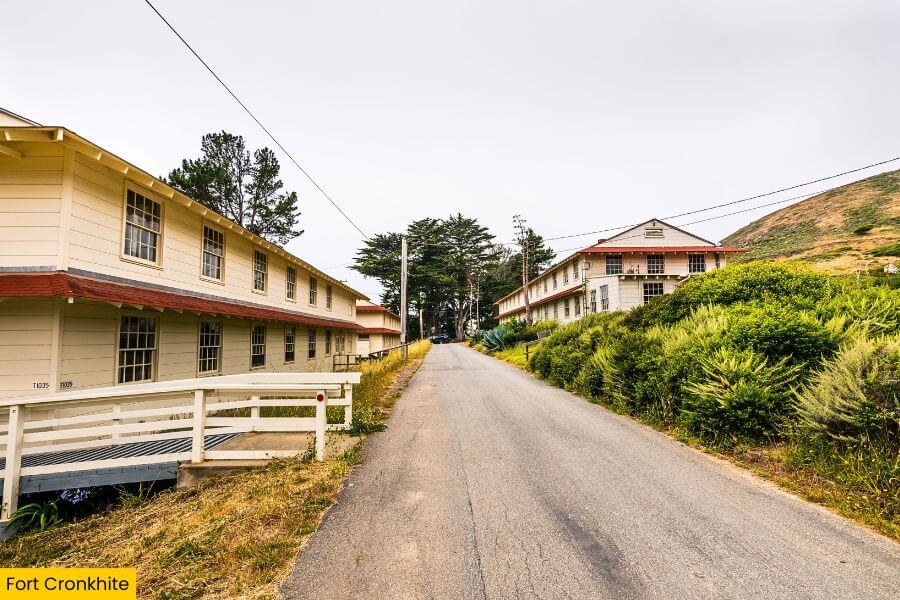
Just a few minutes away, Fort Cronkhite offers a completely different look at the Marin Headlands, with rows of restored World War II military buildings spread across the open valley beside Rodeo Beach.
Established in 1941, the fort served as an important Army post protecting San Francisco during World War II.
Many of its original barracks, mess halls, and support buildings still stand today as part of the Golden Gate National Recreation Area.
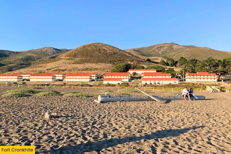
Take a walk through the historic district, stop by the Marine Mammal Center nearby to learn about rescued seals and sea lions, or head over to Rodeo Beach to watch surfers tackle the powerful Pacific waves.
The wide open setting, mountain backdrop, and fascinating military history make Fort Cronkhite feel completely different from the cliffside batteries and lighthouses you’ve explored earlier.
8. Rodeo Beach
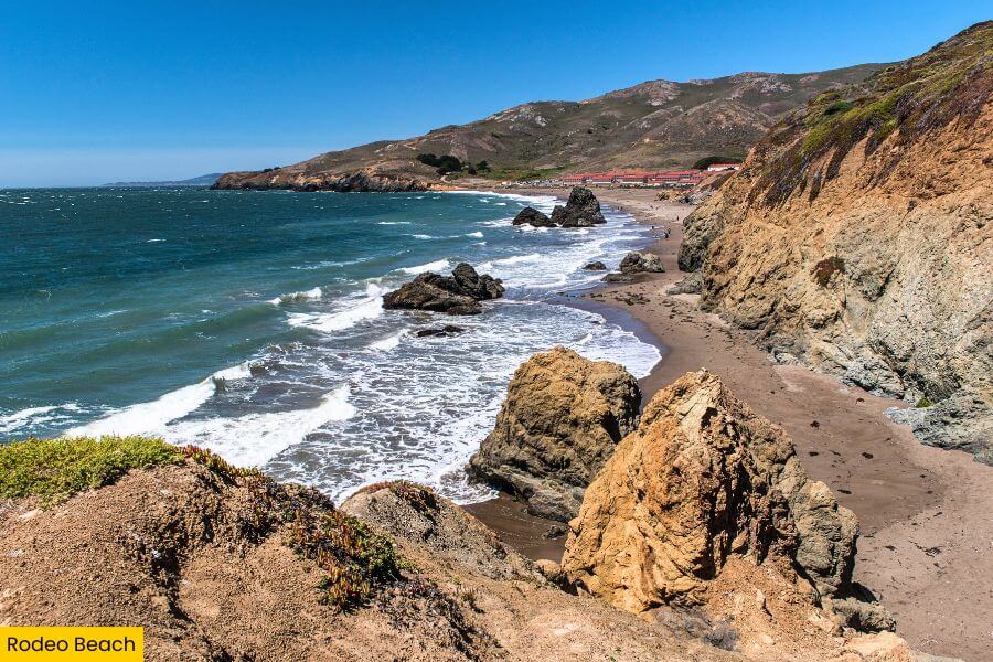
After exploring Fort Cronkhite, walk over to Rodeo Beach, a striking stretch of coastline where colorful pebbles, black and gray sand, and dramatic cliffs create one of the most unusual beaches in the San Francisco Bay Area.
Unlike many California beaches, you’ll find smooth red, green, yellow, and black stones scattered across the shore instead of endless soft sand, making this a favorite stop for photographers and anyone who enjoys beachcombing.
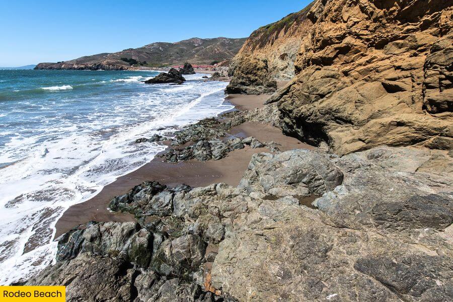
The beach sits within the Golden Gate National Recreation Area and is a popular place to watch surfers ride powerful waves, spot brown pelicans gliding overhead, or hike nearby trails like the 1.5-mile Rodeo Lagoon Loop.
Swimming is not recommended because of strong rip currents and cold water, but you can relax by the shoreline, explore Rodeo Lagoon just behind the beach, and enjoy one of the most distinctive coastal landscapes in the Marin Headlands.
9. Tennessee Valley Trailhead
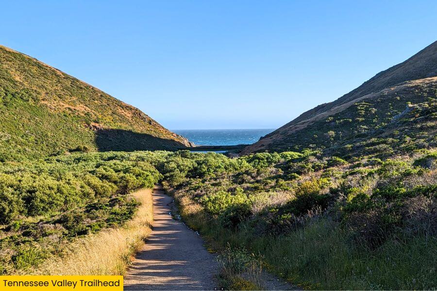
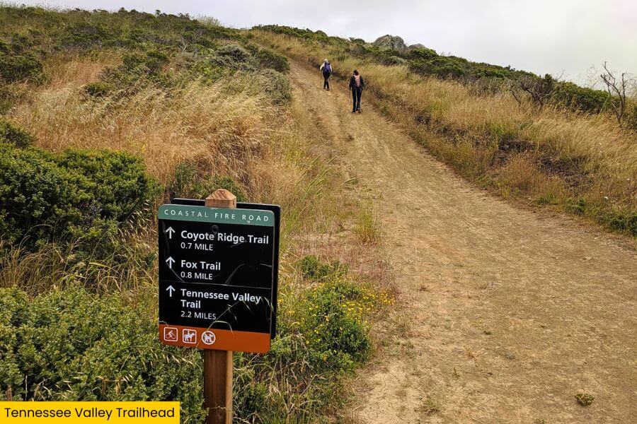
Finish your Marin Headlands adventure at the Tennessee Valley Trailhead, where a mostly flat 3.4 mile round trip hike leads through a peaceful coastal valley to the beautiful cove at Tennessee Beach.
The trail gains only about 300 feet of elevation, making it one of the area’s most accessible hikes, and along the way you might spot red tailed hawks, deer, and colorful spring wildflowers covering the hillsides.
At the end of the trail, Tennessee Beach greets you with dramatic sea cliffs, crashing Pacific waves, and rocky shoreline views that feel wonderfully secluded despite being only a short drive from San Francisco.
If you still have energy, connect to longer routes leading toward Pirate’s Cove or the Coastal Trail, giving your Marin Headlands road trip one final dose of unforgettable scenery before heading home.
Related Posts