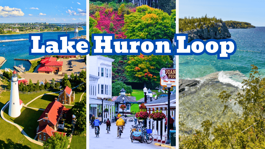
Lake Huron was made for a road trip.
Stretching across the U.S.-Canada border, its shoreline is packed with beaches, cliffs, lighthouses, shipwrecks, hiking trails, and waterfront towns.
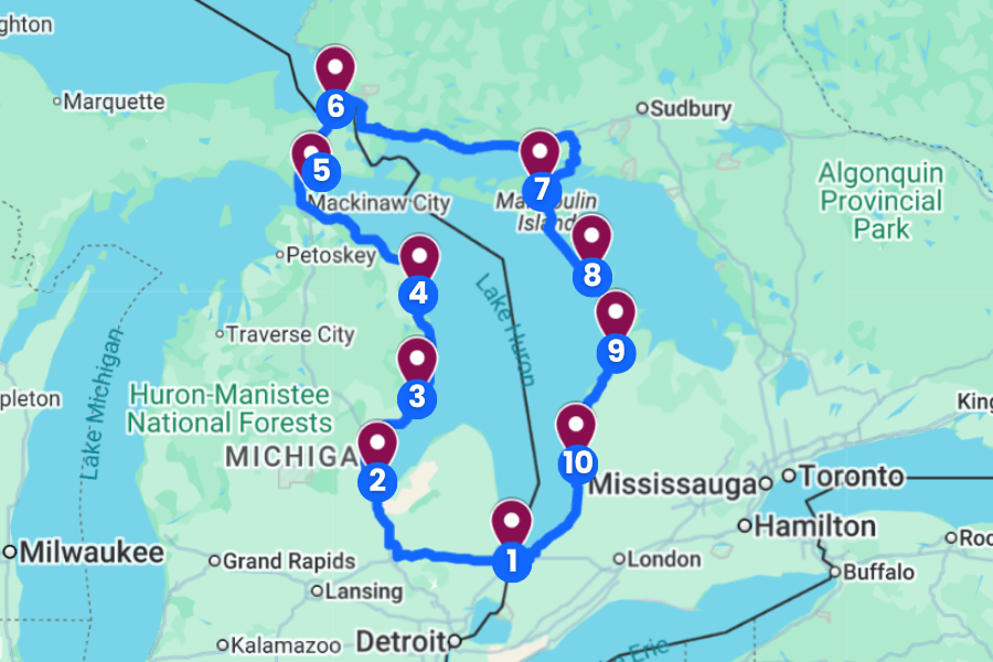
On this Lake Huron road trip, you’ll follow the water through Michigan and Ontario, crossing an international border and watching the scenery change dramatically along the way.
Along the way, expect ferry rides, massive freighters, waterfalls, sea caves, historic forts, and plenty of reasons to pull over and explore.
Ready to circle one of the largest freshwater lakes on Earth?
Here’s how to plan the ultimate Lake Huron loop road trip.
1. Port Huron, Michigan
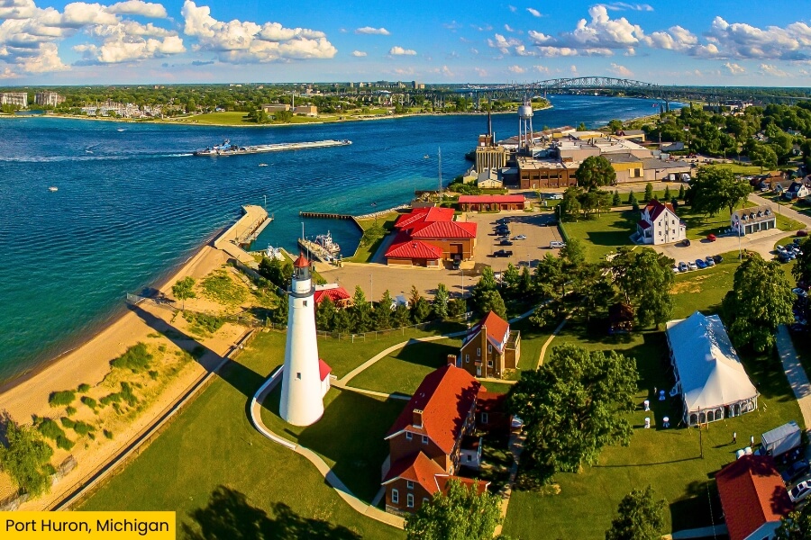
Port Huron sits at the southern end of Lake Huron, where the lake pours into the St. Clair River, making it a perfect starting point for your Lake Huron loop.
Head to Lighthouse Beach to see the 82-foot Fort Gratiot Lighthouse, built in 1829 and known as Michigan’s oldest lighthouse, then walk the shoreline for huge lake views.
At the Blue Water Bridge, you can watch massive freighters squeeze through the river beneath two international bridge spans connecting Michigan and Canada, while nearby Pine Grove Park offers front-row views of the action.
Before leaving, explore the Thomas Edison Depot Museum, located inside an 1858 railroad depot where young Thomas Edison worked selling newspapers and candy on trains.
2. Bay City, Michigan
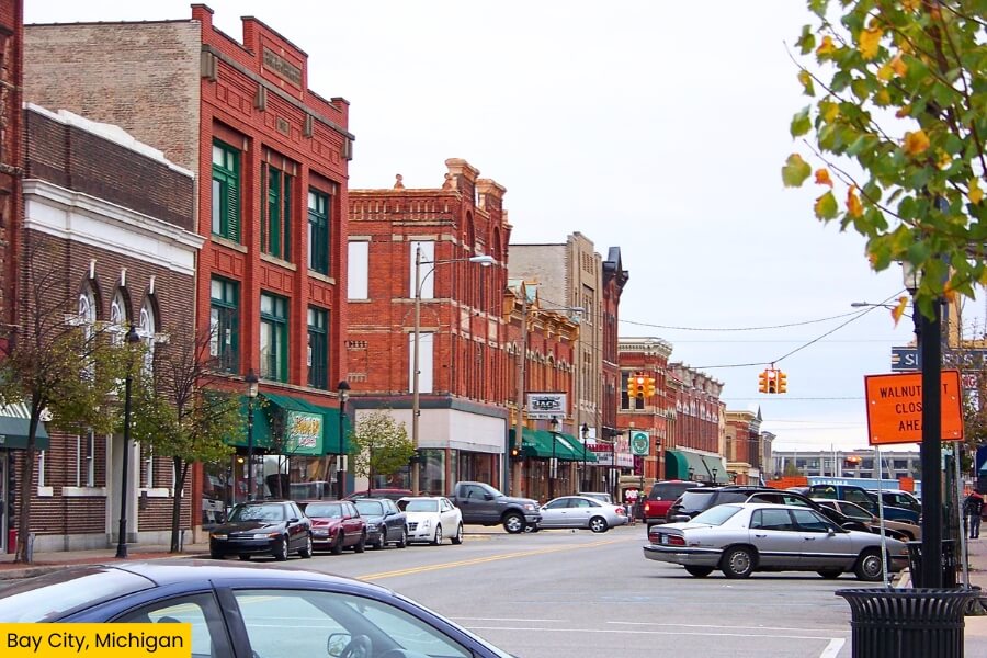
About 1 hour and 40 minutes from Port Huron, Bay City makes a scenic waterfront stop along the Saginaw River near Saginaw Bay, the huge western arm of Lake Huron.
Start downtown at the 6.1-acre Wenonah Park, where you can stroll beside the river, catch summer concerts at the World Friendship Shell, and watch boats pass through the heart of town.
For something completely different, climb aboard the USS Edson, a 418-foot retired U.S. Navy destroyer launched in 1958 and now docked as a floating museum at the Saginaw Valley Naval Ship Museum.
Save time for Bay City State Park, where nearly 2,400 acres protect wetlands and shoreline, with birdwatching, nature trails, and easy access to Saginaw Bay.
3. Tawas Point State Park, Michigan
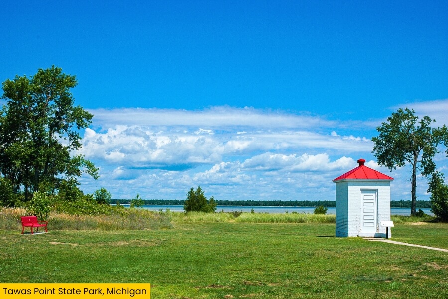
From Bay City, it’s about a 1 hour and 20 minute drive to Tawas Point State Park, a 183-acre park on a narrow sandy peninsula that curls into Tawas Bay near East Tawas.
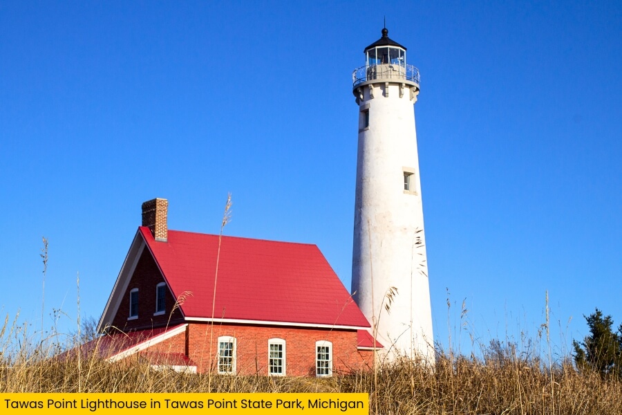
The big photo stop is Tawas Point Lighthouse, a 67-foot brick tower completed in 1876 that has guided ships through these shallow waters for about 150 years.
Bring binoculars because the point sits along a major Great Lakes migration route, and you can spot warblers, shorebirds, waterfowl, and other species during busy spring and fall migrations.
You can also swim along the sandy beach, paddle the calmer waters of Tawas Bay, walk the shoreline, or stay overnight at the park’s modern campground before continuing north around Lake Huron.
4. Alpena, Michigan
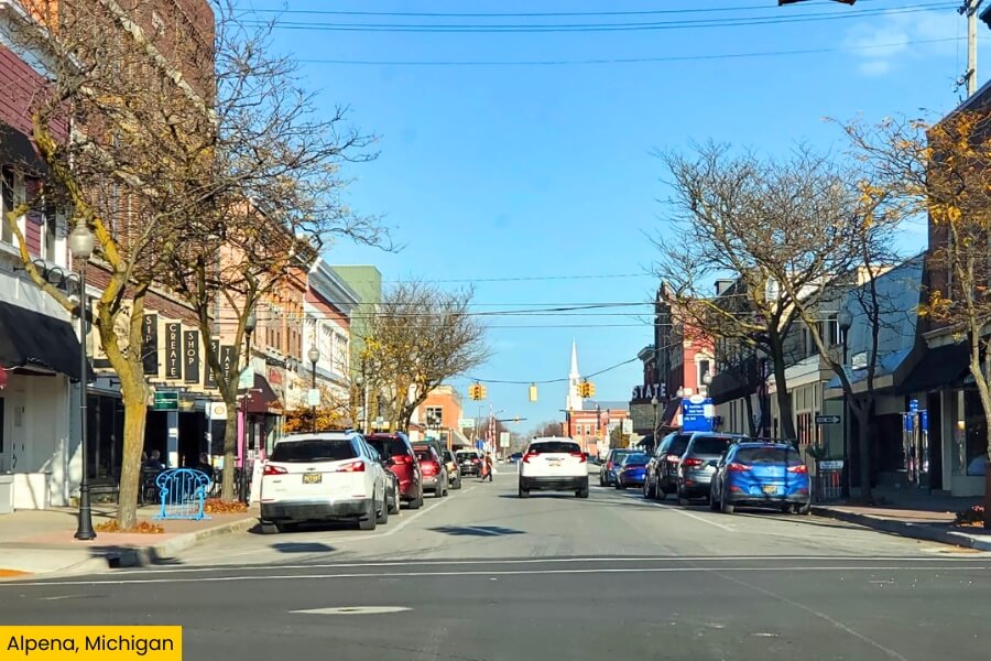
Continue to Alpena, about a 1 hour and 15 minute drive from Tawas Point State Park, where shipwrecks, limestone, and crystal-clear water give you plenty to explore.
Start at the Great Lakes Maritime Heritage Center, then head onto Thunder Bay to explore the Thunder Bay National Marine Sanctuary, which protects 4,300 square miles of Lake Huron and 100 discovered shipwrecks.
You can see wrecks from a glass-bottom boat, or check out the 80-foot-tall Alpena Light, nicknamed “Little Red,” standing at the entrance to Thunder Bay River.
For a change of scenery, drive about 25 minutes to Stevens Twin Sinks Preserve and follow its trails around two massive sinkholes.
5. Mackinac Island, Michigan
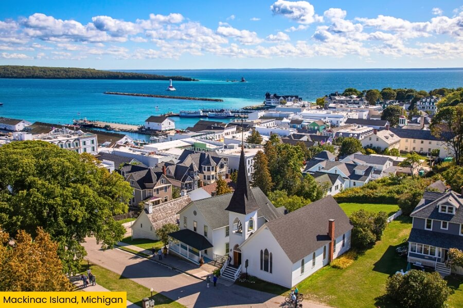
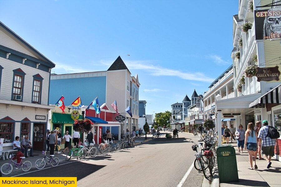
After Alpena, keep following Lake Huron to Mackinaw City, then catch a ferry across the Straits of Mackinac to car-free Mackinac Island, where bicycles and horse-drawn carriages rule the roads.
Pedal the mostly flat 8.2-mile M-185 loop around the island, stopping at Arch Rock, a natural limestone arch rising 146 feet above Lake Huron, and the rocky shoreline below.
Next, explore Fort Mackinac, founded by the British in 1780, where 14 original buildings overlook the harbor from a limestone bluff and costumed interpreters demonstrate military life.
Before catching your ferry back, wander downtown, sample the island’s famous fudge, and check out the 660-foot Grand Hotel porch, billed as the world’s longest front porch.
6. Sault Ste. Marie, Michigan
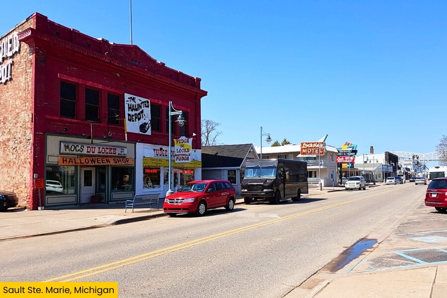
Back on the mainland, make your way to Sault Ste. Marie, Michigan’s oldest city, founded in 1668 beside the St. Marys River across from its Canadian namesake.
The Soo Locks are the headline attraction, lifting and lowering ships 21 feet between Lake Superior and Lake Huron while massive freighters pass surprisingly close to the observation deck.
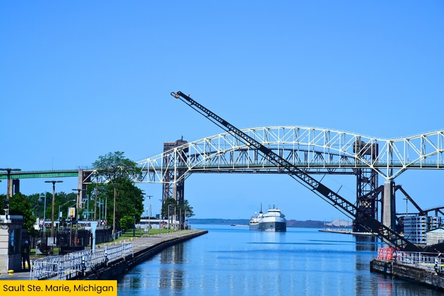
For an even better look, take a Soo Locks Boat Tour through the locks, or climb the 210-foot Tower of History for sweeping views of the river, bridges, and Ontario.
Before continuing your Lake Huron loop, tour the 550-foot Museum Ship Valley Camp, a retired freighter packed with maritime exhibits, aquariums, and two lifeboats recovered from the wreck of the Edmund Fitzgerald.
7. Cup and Saucer Trail, Manitoulin Island, Ontario
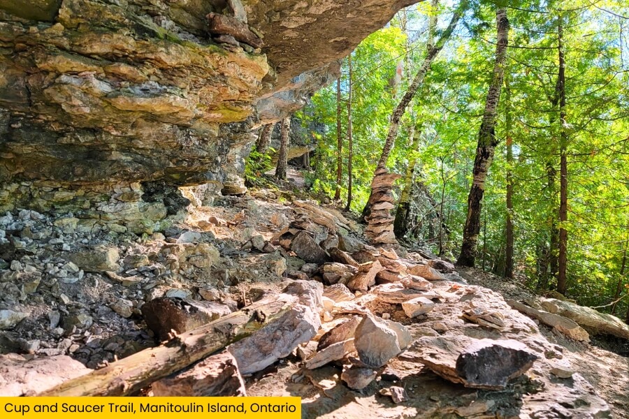
After crossing into Ontario, it’s nearly a 4-hour drive from Sault Ste. Marie to Manitoulin Island, where the Cup and Saucer Trail offers limestone cliffs and forest paths.
Located near M’Chigeeng, the trail system covers up to 12 kilometers (7.5 miles), with shorter route options leading to viewpoints along the Niagara Escarpment.
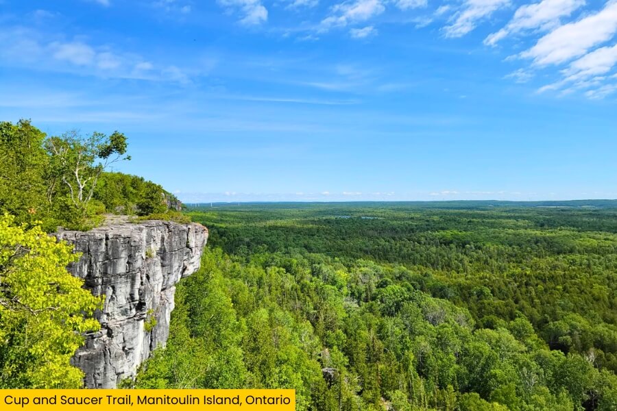
The main payoff comes from cliffs rising roughly 70 meters above the surrounding forest, where wide-open lookouts reveal rolling trees, inland lakes, and huge stretches of Manitoulin Island.
Wear sturdy shoes for rocky ground, steep climbs, roots, then give yourself around two to four hours to explore before hitting the Lake Huron road again.
8. Bruce Peninsula National Park, Ontario
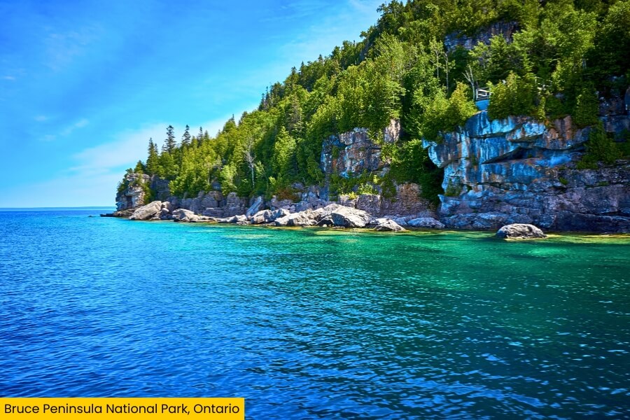
From Manitoulin Island, take the seasonal Chi-Cheemaun ferry from South Baymouth to Tobermory, the gateway to Bruce Peninsula National Park and some of Lake Huron’s most dramatic shoreline scenery.
Make The Grotto your main stop, where a huge limestone sea cave opens onto the bright blue waters of Georgian Bay beside boulders, cliffs, and the rocky Indian Head Cove.
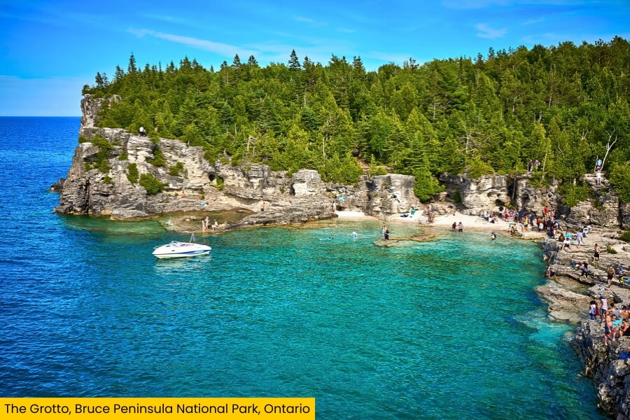
The popular hike from the Cyprus Lake area to The Grotto is roughly 1 kilometer (0.6 miles), and reservations are required for timed parking during the busiest months.
You can also hike part of the over 900-kilometer Bruce Trail, swim at Singing Sands on Lake Huron, or explore coastal wetlands filled with rare orchids and ancient eastern white cedars.
9. Sauble Beach Park, Ontario
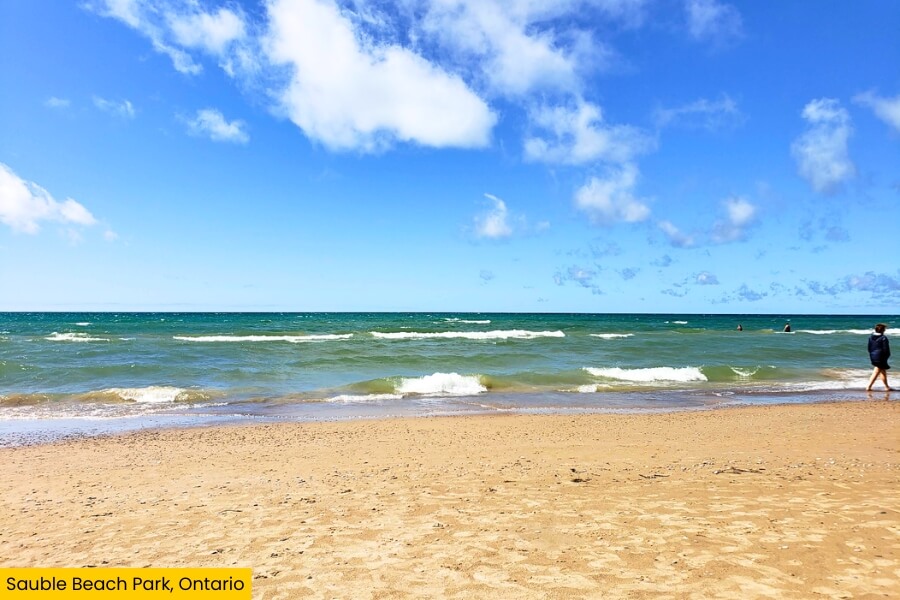
Leaving the cliffs of the Bruce Peninsula behind, drive about 50 minutes to Sauble Beach, where a long stretch of sand runs along Lake Huron near the mouth of the Sauble River.
Spread out your towel at Sauble Beach Park, wade into the shallow water, rent a paddleboard, or walk the shoreline while checking out the shops and snack stops near Main Street.
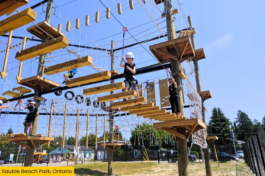
Because the beach faces west across Lake Huron, stick around for sunset, when you can watch the sun drop straight toward the water from the sand.
If you want a quick side trip, Sauble Falls Provincial Park is less than 10 minutes away, with a wide cascading waterfall on the Sauble River plus swimming, paddling, fishing, and riverside picnic areas.
10. Goderich, Ontario
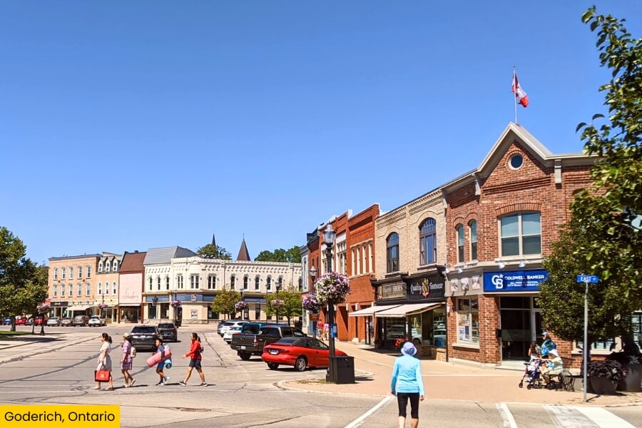
The final stop is Goderich, about 1.5 hours from Sauble Beach, where the Maitland River meets the lake along Ontario’s western shoreline.
Start at Courthouse Square, an unusual octagonal downtown hub surrounded by shops and restaurants, then walk to the nearby Huron Historic Gaol, an eight-sided jail that opened in 1841 and operated until 1972.
Down at the waterfront, Goderich Main Beach and Rotary Cove Beach give you sandy swimming spots, while the 750-foot Menesetung Bridge carries walkers high above the Maitland River.
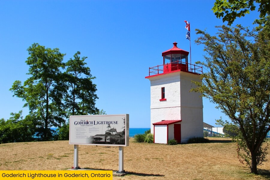
End your road trip at the Goderich Lighthouse, built in 1847 on a bluff above Lake Huron, where you can watch one final sunset spread across the water.
Related Posts