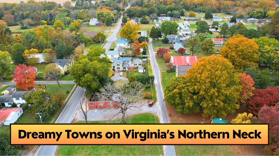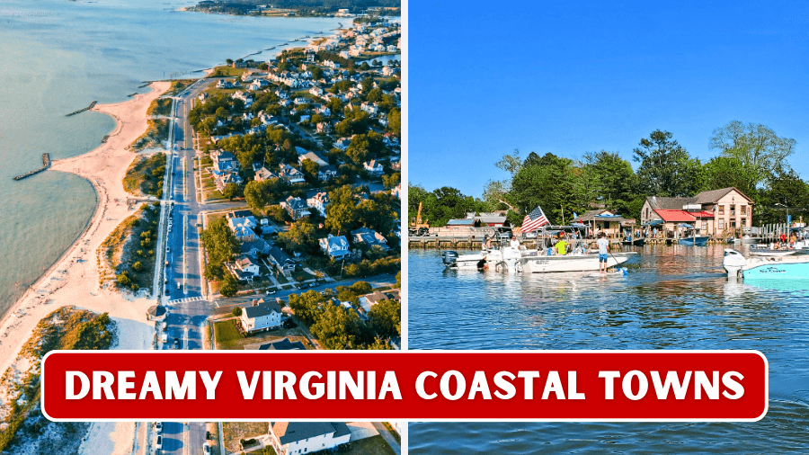
Virginia’s coast has way more up its sleeve than big beaches and busy boardwalks.
Follow the Chesapeake Bay, Atlantic shoreline, and winding tidal rivers, and you’ll find tiny fishing communities, wild barrier islands, sandy beaches, historic waterfronts, and harbors where working boats still bring in blue crabs and oysters.
Some of these towns are famous for wild ponies and centuries-old landmarks, while others offer quiet kayak routes, lighthouses, and streets you can explore on foot.
One is even so small that golf carts and bicycles are more useful than cars.
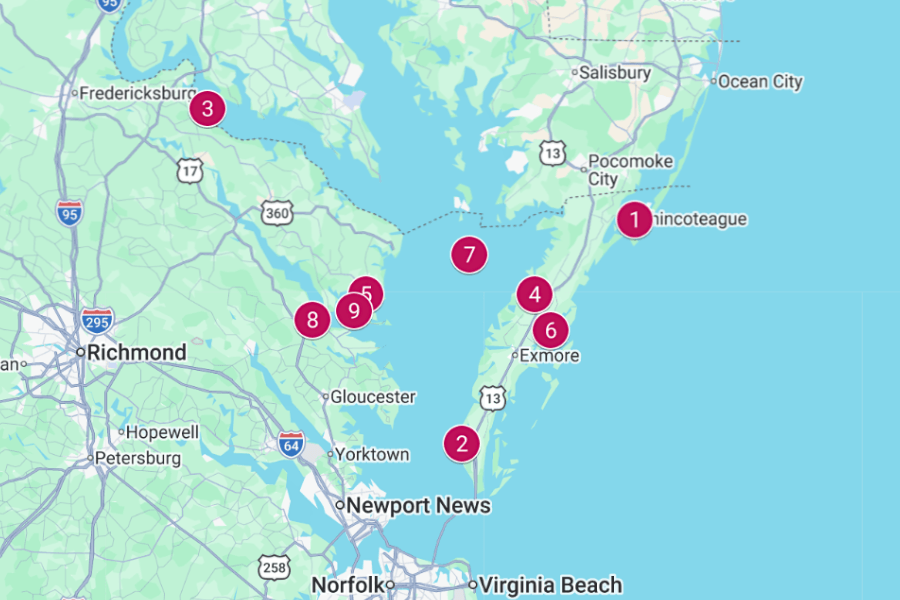
These nine Virginia coastal towns prove that some of the state’s coolest adventures are waiting right beside the water.
1. Chincoteague
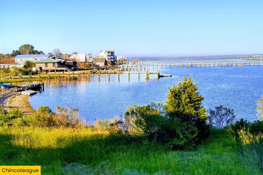
Chincoteague sits on Virginia’s Eastern Shore, just south of the Maryland border, with Chincoteague Bay on one side and the Atlantic Ocean just beyond nearby Assateague Island.
The town is famous for the Chincoteague ponies, especially during July’s Pony Swim, when the herd crosses the channel from Assateague before the annual auction.
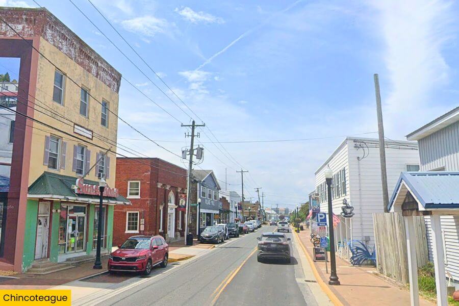
Head to Chincoteague National Wildlife Refuge for the 3.25-mile Wildlife Loop, birdwatching, lighthouse views, and access to sandy Assateague Beach, where you can swim, bike, or search for seashells.
Save time for the 142-foot Assateague Lighthouse, fresh local oysters and clams, and a boat tour through the surrounding waterways, where you might spot dolphins, bald eagles, and wild ponies along the marshy shoreline.
2. Cape Charles
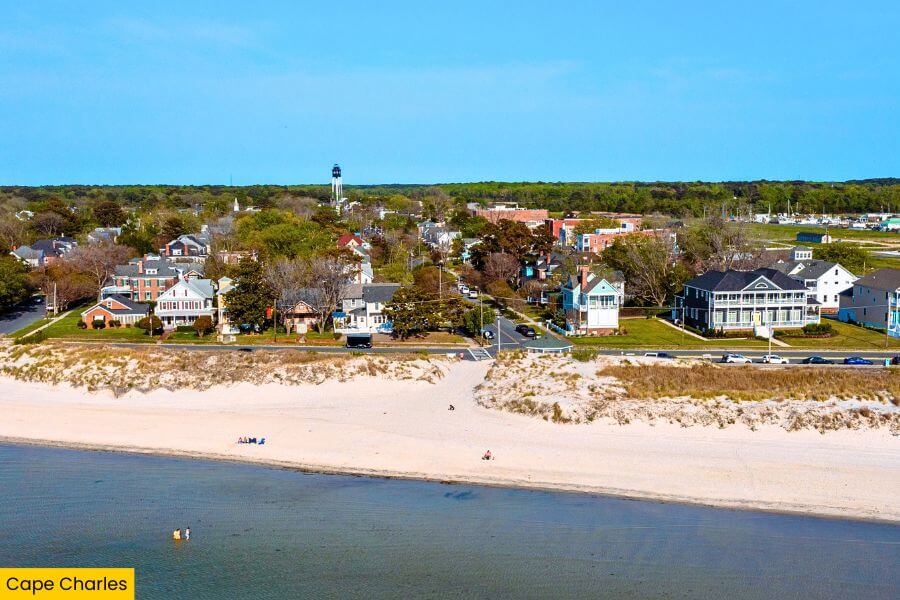
Over on the Chesapeake Bay side of Virginia’s Eastern Shore, Cape Charles brings a totally different lineup of sandy beaches, colorful storefronts, and outdoor adventures.
Start at Cape Charles Beach, a free public beach with calm, shallow water, then walk a few blocks to Mason Avenue for local shops, ice cream, seafood, and the town’s collection of late-1800s and early-1900s buildings.
Just outside town, Kiptopeke State Park covers 562 acres and has hiking trails, fishing piers, kayak launches, and a beach overlooking nine concrete ships sunk offshore in 1948 to form a breakwater.
You can also see the 191-foot Cape Charles Lighthouse on nearby Smith Island, photograph the town’s LOVEwork sign, or catch a Chesapeake Bay sunset from the fishing pier.
3. Colonial Beach
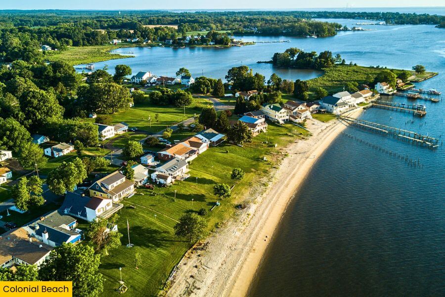
Colonial Beach sits on a peninsula in Virginia’s Northern Neck, with the Potomac River on one side and Monroe Bay on the other.
The town’s biggest draw is its sandy shoreline stretching for more than 2 miles, where you can swim, paddle, fish, or stroll along the river with Maryland visible across the water.
History gets especially interesting at the nearby George Washington Birthplace National Monument, where you can explore the 551-acre property where America’s first president was born in 1732, plus reconstructed colonial-era buildings and a working farm.
Back in town, check out the Colonial Beach Boardwalk, browse boutiques, antique shops, and gift stores downtown, then grab steamed crabs at a waterfront restaurant.
4. Onancock
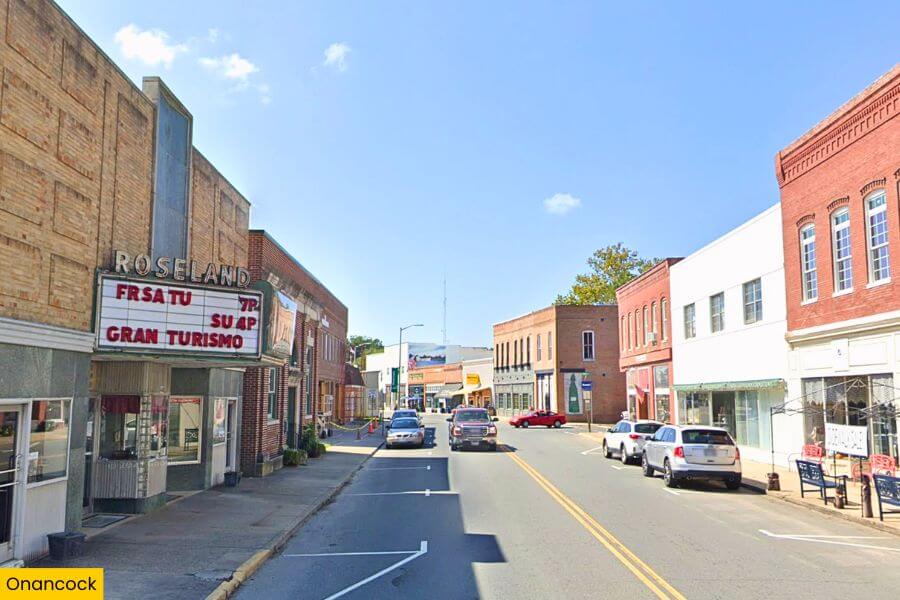
Back on Virginia’s Eastern Shore, Onancock sits along Onancock Creek, about 4 miles from Chesapeake Bay, and its waterfront location has shaped the town since it was founded in 1680.
Launch a kayak from the town wharf to paddle the winding creek, then wander Market Street to find locally owned restaurants, galleries, shops, and the historic Roseland Theatre, which was built in 1950.
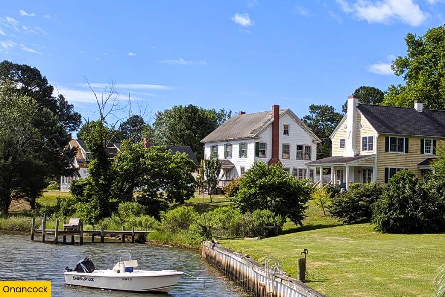
Before you leave, explore the Ker Place museum, a Federal-period Georgian-style mansion built from 1799 to 1803, or order Chesapeake blue crab and local oysters beside the water.
5. Kilmarnock

Across Chesapeake Bay in Virginia’s Northern Neck, Kilmarnock features a walkable downtown packed with independent shops, restaurants, and small-town landmarks.
Start along Main Street, where you can browse boutiques and antique shops before stopping at Kilmarnock Town Centre Park, a 9-acre green space with walking paths, an amphitheater, and a splash pad.
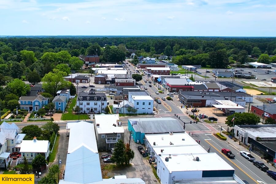
For waterfront time, head about 10 minutes to Hughlett Point Natural Area Preserve, where a 1.8-mile trail leads through forest and wetlands to a quiet Chesapeake Bay beach.
Kilmarnock also puts you close to the Steamboat Era Museum in Irvington, which explains how steamboats once carried passengers, seafood, and mail between Northern Neck communities and major cities along the Chesapeake.
6. Wachapreague
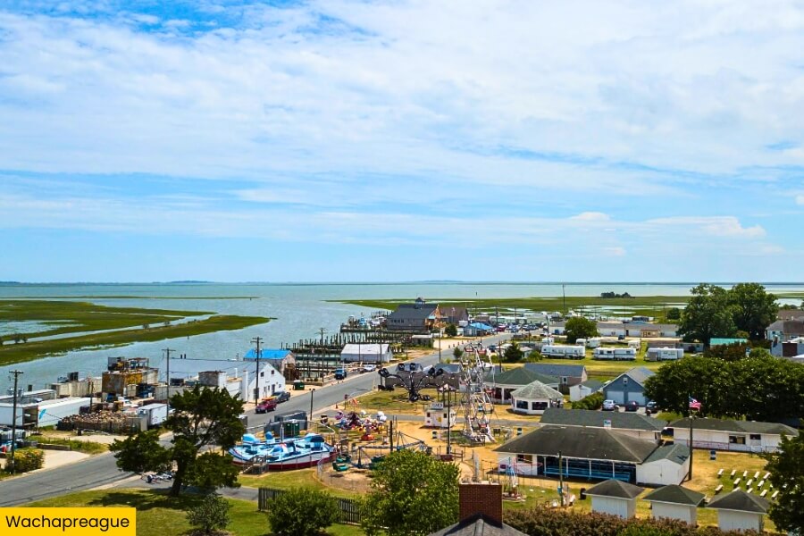
Wachapreague is a tiny Eastern Shore town overlooking a maze of salt marshes, tidal creeks, and barrier islands.
Known as the “Flounder Capital of the World,” Wachapreague is a favorite fishing base, with anglers heading into the Atlantic and surrounding channels for flounder, red drum, and other coastal catches.
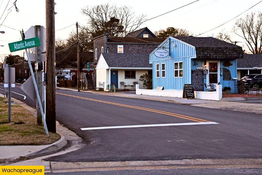
Rent a kayak or book a boat trip to explore the undeveloped barrier islands of the Virginia Coast Reserve, a protected chain of beaches, marshes, and lagoons stretching for roughly 70 miles.
Afterward, stop at the waterfront to watch fishing boats return to Wachapreague Harbor, then explore the area while brown pelicans, egrets, and herons patrol the nearby marshes.
7. Tangier
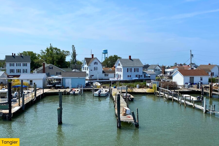
Those marshy waterways continue around Tangier, a Chesapeake Bay island about 12 miles from the mainland, where you can arrive by boat or small aircraft, and golf carts and bicycles handle most local transportation.
Crabbing drives daily life here, and Tangier is especially known for soft-shell blue crabs, which you can order at small restaurants near the harbor while working boats unload their catch nearby.
Walk the island’s narrow streets to the Tangier History Museum, then make your way to Tangier’s roughly 1.5-mile-long sandy beach on the island’s southern end for wide-open bay views.
Tangier may cover less than 1 square mile, but this tiny Chesapeake Bay island has plenty of character.
Its low-lying shoreline has also made erosion and rising water levels an ongoing concern for the centuries-old fishing community.
8. Urbanna
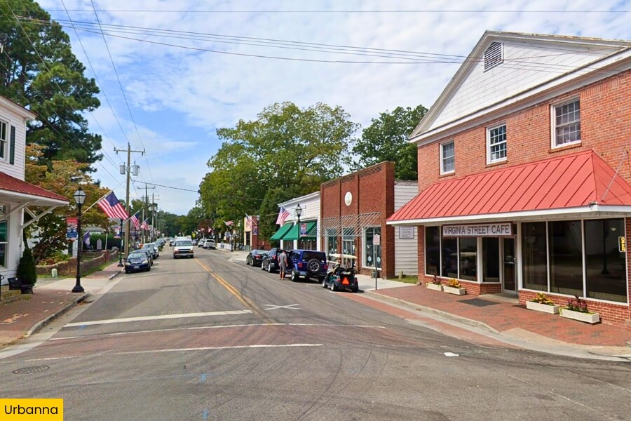
Back on the mainland, Urbanna sits beside the Rappahannock River in Virginia’s Middle Peninsula, and features shady streets, historic buildings, and a charming waterfront.
The town was established as a colonial port in 1680, and you can visit the Urbanna Museum and Visitor Center, housed inside a former 1766 Scottish merchant store, to see a 1755 John Mitchell map of North America.
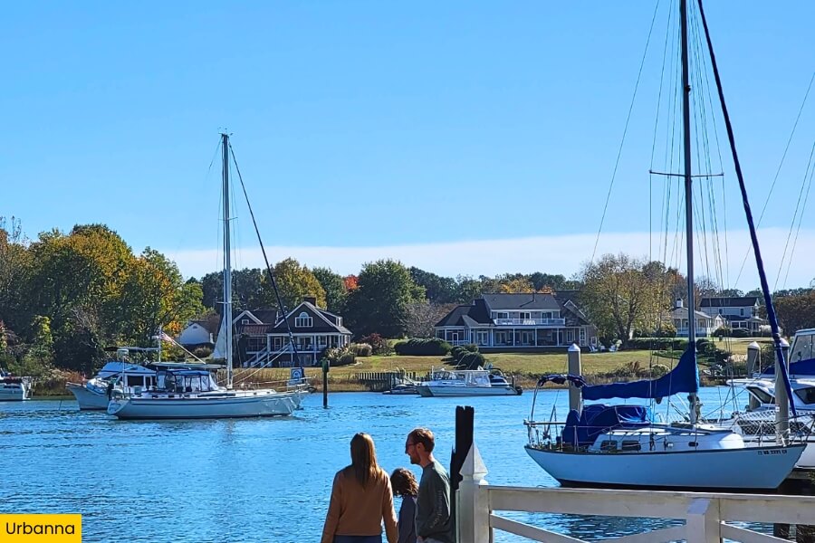
Head down to Urbanna Creek to kayak, watch boats at the marina, or dig into Chesapeake Bay oysters and blue crabs at a waterfront restaurant.
Oysters take center stage each November during the Urbanna Oyster Festival, a tradition dating to 1957 that fills the streets with oyster shucking, seafood, parades, vendors, and live music.
9. Irvington
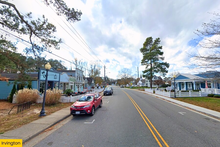
Not far from Urbanna, Irvington sits along Carter Creek near the Rappahannock River, with sailboats, waterfront restaurants, and quiet streets.
Its standout stop is the Steamboat Era Museum, where exhibits explain how Chesapeake steamships carried passengers, mail, and local cargo between small Virginia communities and cities such as Baltimore from the late 1800s into the 1930s.
For time outside, stroll Irvington’s compact village streets or head to the waterfront for sailing, boating, and views across Carter’s Creek.
Irvington also hosts a monthly farmers market from May through November, while nearby restaurants serve Chesapeake oysters and blue crab, making this tiny Northern Neck town an easy place to spend a slow afternoon.
Related Posts