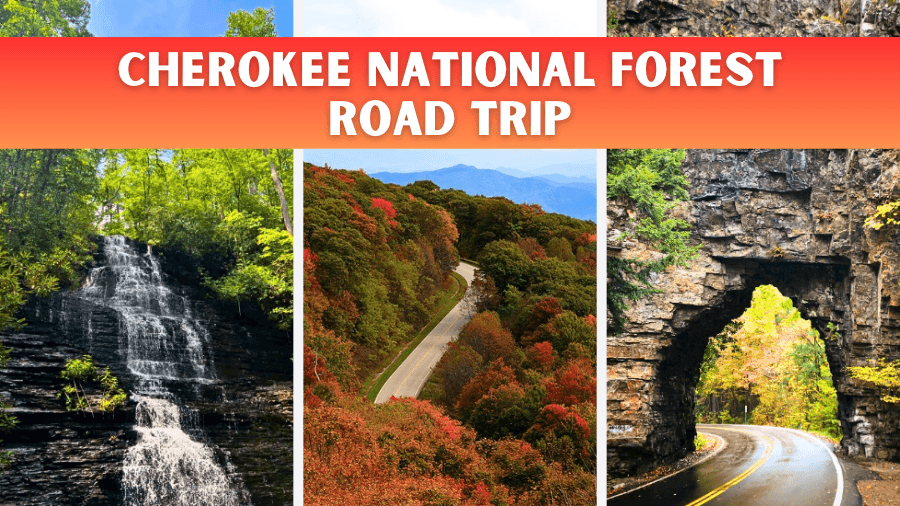
What if one road trip could take you past roaring waterfalls, rushing whitewater rapids, sparkling mountain lakes, and some of the most jaw-dropping views in Tennessee?
Stretching across more than 650,000 acres of the Appalachian Mountains, Cherokee National Forest is packed with winding scenic roads, hidden swimming spots, incredible hiking trails, and outdoor adventures that make every stop worth the drive.
You can hike to waterfalls tucked deep in the woods, cruise along mountain roads that climb above 5,000 feet, explore historic landmarks, and discover peaceful lakes surrounded by towering peaks.
You don’t have to be an expert hiker or hardcore adventurer to enjoy it all!
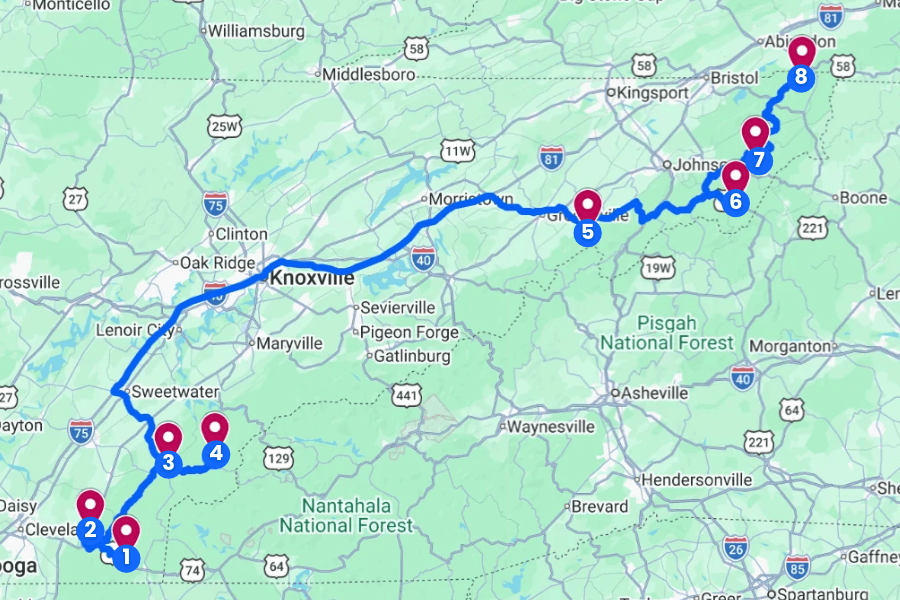
This ultimate Cherokee National Forest road trip takes you through some of the forest’s most unforgettable spots, with plenty of fun stops, scenic detours, and surprises along the way.
1. Ocoee Whitewater Center
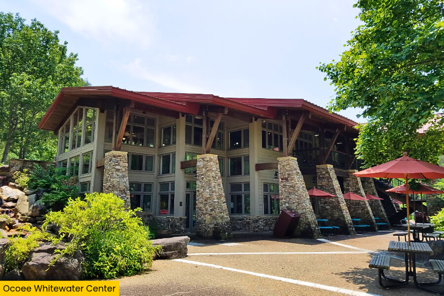
Located along U.S. Highway 64 in Tennessee’s Cherokee National Forest, the Ocoee Whitewater Center is famous for hosting canoe slalom events at the 1996 Atlanta Olympics, making it the first Olympic whitewater course built on a natural river.
The center sits beside the Upper Ocoee River, where powerful Class III and IV rapids rush through a 1,640-foot Olympic competition course filled with massive boulders, steep drops, and churning whitewater.
If you’re craving adventure, book a guided rafting trip down the Olympic course, or explore the nearby 2.3-mile Old Copper Road Trail, which follows a historic wagon route along the river.
Although the main visitor center building was destroyed by fire in 2022, you can still explore the surrounding recreation area, watch rafters tackle the rapids during scheduled water releases, and enjoy beautiful mountain scenery.
2. Benton Falls
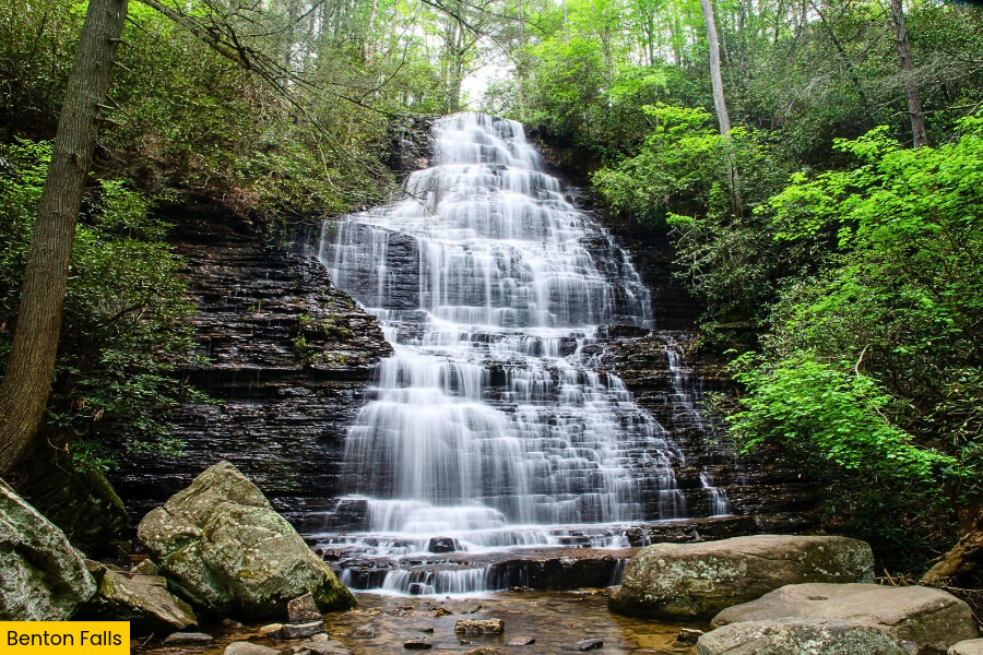
Once you’ve watched the wild rapids of the Ocoee River, head to Benton Falls, a stunning 65-foot waterfall located in the Chilhowee Recreation Area of Cherokee National Forest, about 35 minutes from the Ocoee Whitewater Center.
To reach the falls, follow the 3-mile round-trip Benton Falls Trail, which starts near McKamy Lake and winds through a beautiful hardwood forest with towering trees, shaded sections, and small streams.
The real treat is the waterfall itself, where water tumbles down a massive, stair-step rock face, creating dozens of little cascades that look especially impressive after heavy rain.
The trail is relatively easy, with around 300 feet of elevation change, making it a great option for families, and you can even stop by the 7-acre McKamy Lake afterward for a picnic or a relaxing break by the water.
3. Cherohala Skyway
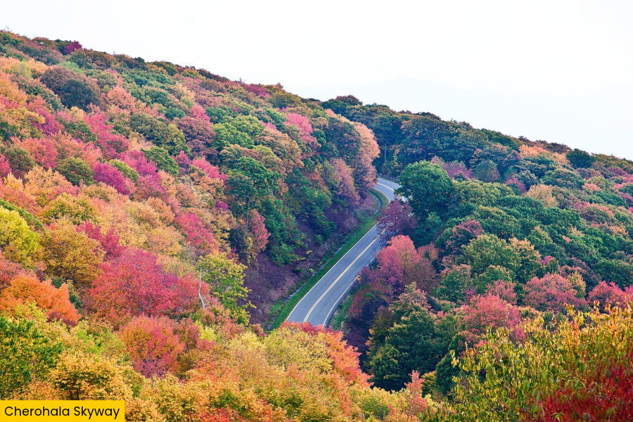
After exploring Benton Falls, make your way to Tellico Plains, where the Cherohala Skyway begins its spectacular 43-mile journey through the mountains of Tennessee and North Carolina, reaching a maximum elevation of 5,390 feet.
This scenic highway gets its name from the Cherokee and Nantahala National Forests.
You’ll quickly see why it’s one of the most popular mountain drives in the Southeast, with sweeping curves, forest-covered peaks, and incredible views around nearly every bend.
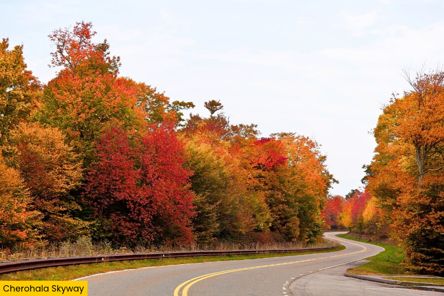
As you leave Tellico Plains, stop at the Turkey Creek Overlook for mountain views, then continue climbing toward the higher overlooks, where the surrounding ridges stretch for miles into the distance.
Keep an eye out for the turnoff onto Forest Service Road 345, which leads to Indian Boundary Lake, your next stop on this Cherokee National Forest road trip.
4. Indian Boundary Lake
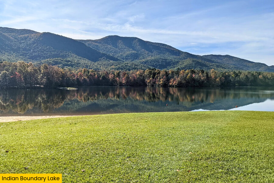
Next up, turn onto Forest Service Road 345 and follow it to Indian Boundary Lake, a beautiful 96-acre mountain lake tucked inside the Cherokee National Forest, about 30 minutes from Tellico Plains.
Surrounded by wooded mountains, this peaceful spot is perfect for stretching your legs, with a 3.6-mile loop trail that circles the shoreline and offers plenty of chances to spot turtles, birds, and other wildlife.
If you’re visiting during the warmer months, you can swim at the designated sandy beach, launch a kayak or canoe onto the calm water, or try fishing for largemouth bass, sunfish, and catfish.
The Indian Boundary Recreation Area also has a campground with 87 campsites, picnic tables, and restrooms, making it a fantastic place to spend a few hours or even stay overnight before continuing your road trip.
5. Horse Creek Recreation Area
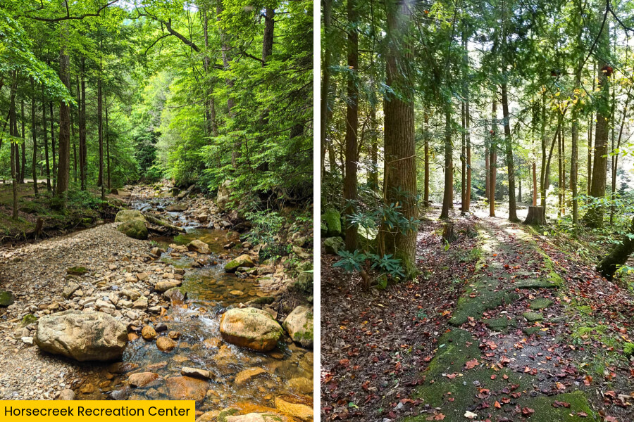
Leaving Indian Boundary Lake behind, continue your Cherokee National Forest road trip with a nearly 3-hour drive to Horse Creek Recreation Area, where Horse Creek tumbles over rocks beneath towering hardwood trees.
This mountain retreat is known for its creekside camping, picnic spots, and access to hiking trails, making it a great place to stretch your legs after a long drive.
For a little adventure, follow the 4-mile round-trip Squibb Creek Falls Trail, which climbs through a wooded valley toward Squibb Creek Falls in Sampson Mountain Wilderness.
If you’d rather take it easy, explore the shallow pools and small cascades along Horse Creek, where you can cool your feet in the chilly mountain water before hitting the road again.
6. Roan Mountain
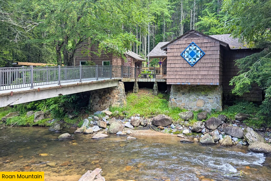
From Horse Creek Recreation Area, drive about 1 hour to Roan Mountain, where the Cherokee National Forest reaches some of its highest elevations, with Roan High Knob towering 6,286 feet above sea level along the Tennessee-North Carolina border.
Your first stop should be Carvers Gap, located at 5,512 feet, where you can hop onto the Appalachian Trail and hike across grassy mountain summits with incredible 360-degree views of the surrounding Blue Ridge Mountains.
The 1.4-mile round-trip hike to Round Bald is a favorite, taking you through open meadows that burst with wildflowers in summer and turn golden during fall.
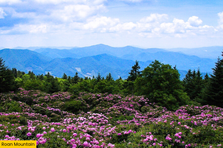
If you’re visiting in June, don’t miss the famous Catawba rhododendron blooms near Roan Mountain’s former Cloudland Hotel site, where thousands of bright pink and purple flowers cover the mountainsides at elevations above 6,000 feet.
7. Watauga Lake
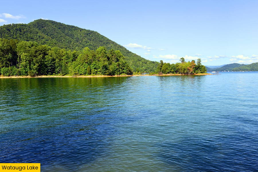
After soaking up the mountain views at Roan Mountain, head toward Watauga Lake near Butler, where you’ll find a massive 6,430-acre reservoir surrounded by the forest-covered peaks of the Appalachian Mountains.
Created in 1948 when the Tennessee Valley Authority completed Watauga Dam, this beautiful lake stretches roughly 16.3 miles through the mountains and has about 106 miles of shoreline, much of it bordered by Cherokee National Forest.
For a fun afternoon, stop at Shook Branch Recreation Area along Highway 321, where you can enjoy a lakeside picnic, swim at the designated beach during swimming season, or launch a kayak to explore the lake’s quiet coves and crystal-clear water.
If you’re up for another adventure, head to the nearby Watauga Dam, which stands 318 feet tall, and walk across the top for impressive views of the lake and the Watauga River valley below.
8. Backbone Rock
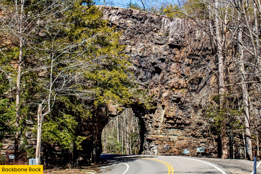
For the grand finale of your Cherokee National Forest road trip, leave Watauga Lake behind and drive toward Backbone Rock Recreation Area near Shady Valley, where you’ll find one of Tennessee’s quirkiest roadside landmarks.
Nicknamed the “World’s Shortest Tunnel,” Backbone Rock Tunnel was blasted through a massive rock ridge in 1901 to make room for a railroad hauling timber, creating a narrow passage that’s just 20 feet long.
Park nearby and climb the stone steps to the top of Backbone Rock, where you can look down at the road cutting through the cliff and enjoy views of Beaverdam Creek below.
Before wrapping up your adventure, explore the short 0.4-mile Backbone Falls Loop Trail, which leads to views of a beautiful 45-foot waterfall surrounded by forest.
Related Posts